Trail Work Report-June 2024

Carrying Beams to the lean-to

Trail Work-June 2024
Fort Fairfield, Beaver Bypass, and Mars Hill

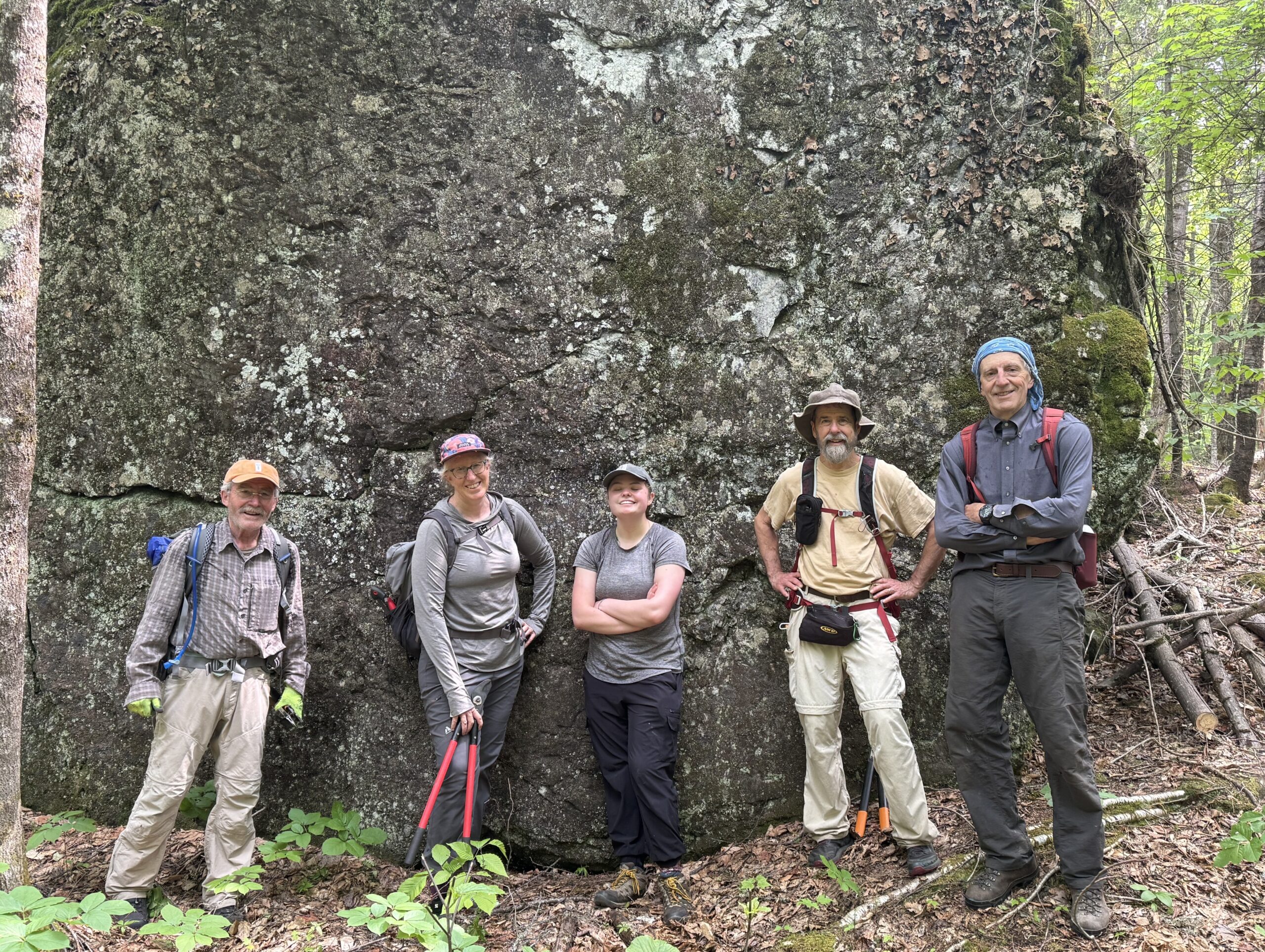
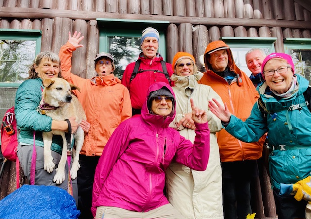
On June 6, a trail crew of eight IAT members went up to the Mars Hill area to work on parts of the trail in need of maintenance.

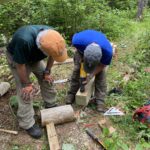
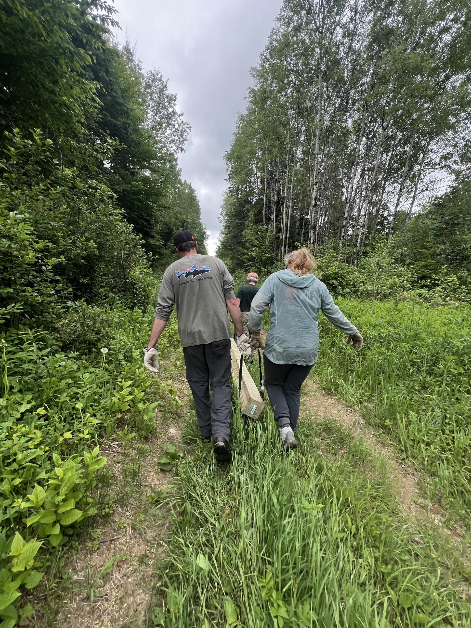
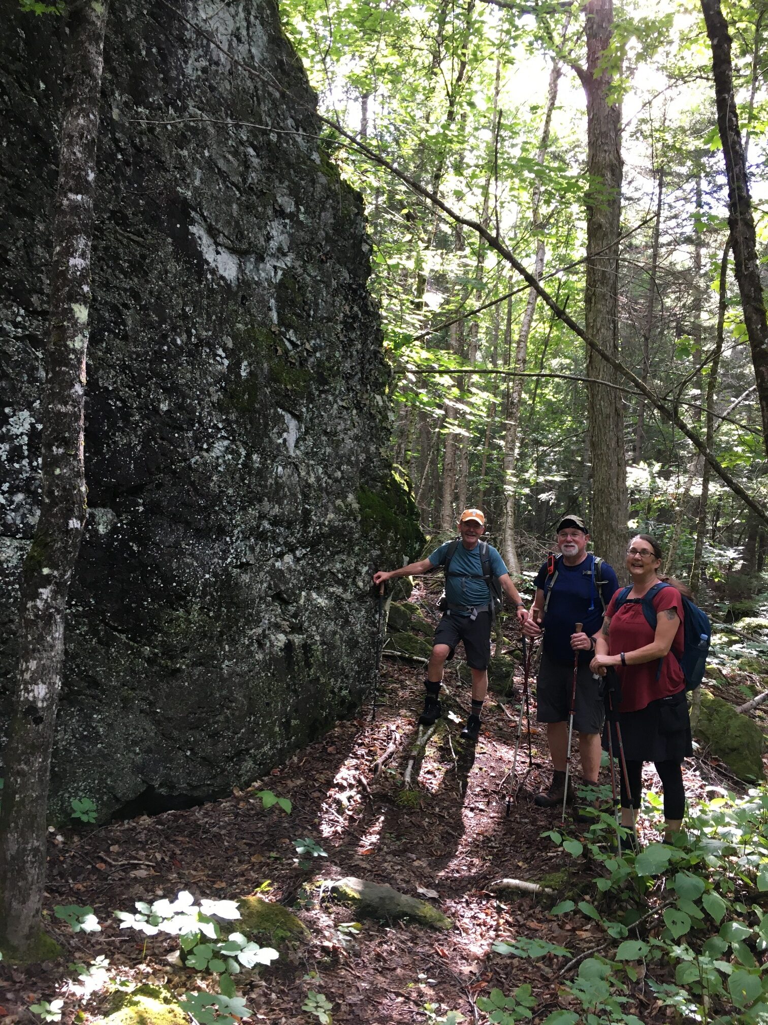
On our first day of work (June 7), we walked up to the Fort Fairfield lean-to. Originally constructed in 1998, the shelter needed to be jacked up and have some old sills replaced. Julia Daly and Bill Duffy had gotten started on the repair process back in March, sledding in new cinder blocks that would be used to replace the old ones, but our larger spring crew arrived to finish the job. After carrying two 100-pound beams to the lean-to using ratchet straps and four people on each beam, we spent the morning lifting the shelter and clearing overgrowth from around the site.
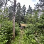
With so many trail crew members that weekend, we were able to get the Fort Fairfield work done in just a few hours. We then split into two groups: one headed to Mars Hill, while the other went to the Beaver Bypass along the US-Canada border (the Beaver Bypass was evidence of our earlier discussion that morning about beavers’ ability to drastically alter the landscape).

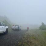
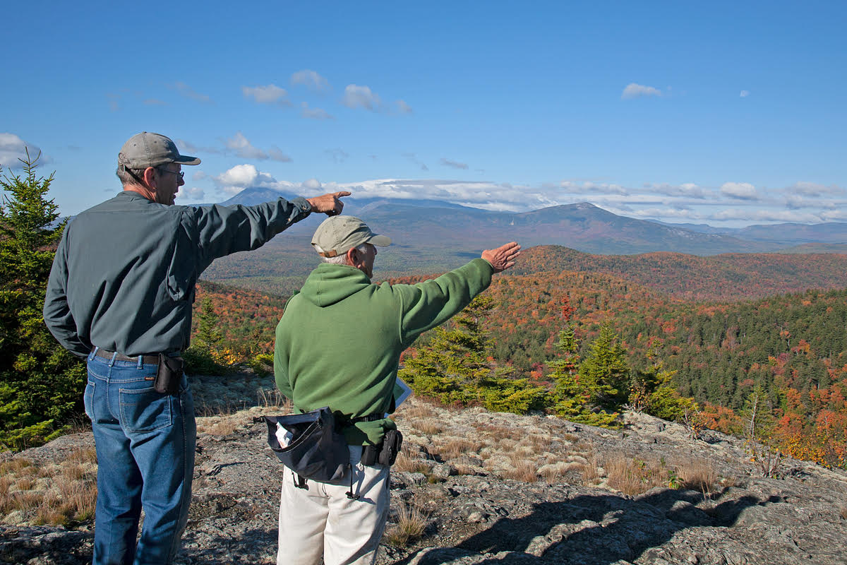
The next day (June 8) we went to work on Mars Hill. When we reached the near top of the hill, I couldn’t see the blades of the windmill through the mist but I could hear them whirring around – IAT hikers have commented on how much they’ve enjoyed sleeping to the sound of the windmills. We got out of the trucks, grabbed our tools, and zipped on our raincoats. Although it was too overcast to take in the view that looks down from Mars Hill onto New Brunswick, it was a cool experience being shrouded by mist at the top of the hill.

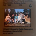
Our first stop at Mars Hill was the lean-to, which dates back to October 1996. The first Mars Hill trail crew had used a lawn roof rafter to get the parts for the structure up to the campsite at the hill’s summit, but our spring crew just worked on cleaning up and safety-proofing the designated fire pit, clearing weeds and charred wood.

We then continued on from the campsite to clear the rest of the trail as it winds along the hill. I must note that my favorite part of the IAT that I saw throughout the trail work weekend came about half a mile southbound from the Mars Hill lean-to: the young forest that flanks the trail is open and lush and green. Before the IAT signed an easement with the Mars Hill landowner Wendell Pierce and forest re-grew around the trail, the area had been farmland – Eric Hendrickson told me that sheep had grazed up and down the side of the hill. On June 8, 2024, the trees and ferns looked especially beautiful given the recent (ongoing) rain (downpour).

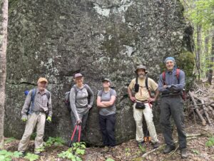
This past winter, Eric and Elaine Hendrickson had made note of fallen trees that would need to be sawed out of the way, so we focused on clearing out the trail. Given Josh’s efficiency with the chainsaw, we finished up the work by mid-day, and were finally able to retreat back into the trucks, heavily rained-on but feeling good about what we had accomplished that weekend at Fort Fairfield, the Beaver Bypass, and Mars Hill.
If you’re interested in getting involved with helping keep the trail nice for our hikers, please sign up to be notified of future trail work by visiting: Trail Work Volunteer Sign Up

Will French (Enlightened Rogue) finishes 2,160 miles on the IAT!

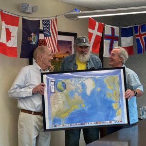
Dick Anderson and Don Hudson presenting Will French with a Poster

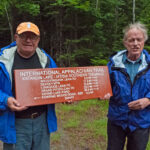
On August 27, 2023 a small group gathered to present Will French, aka Enlightened Rogue, with a framed poster of the International Appalachian Trail in recognition of his completion of a portion of the trail in each of the 23 sections of the trail. He was the second person to hit 2,000 miles on the trail (he hiked 2,160) and the first person ever to complete a section in each state, country, province, or region of the trail!
Will French and his Famil

Attending were Dick Anderson, Don Hudson, and Amy Barker of the Maine Chapter as well as Will’s family; “Frankie” and Poppy his grandchildren, and Tarah his daughter. Frankie and Poppy have joined him on many of his adventures. Also in attendance was Tim “Long Distance Man (LDM)” Anderson, a long-time hiking partner and friend of Will’s.

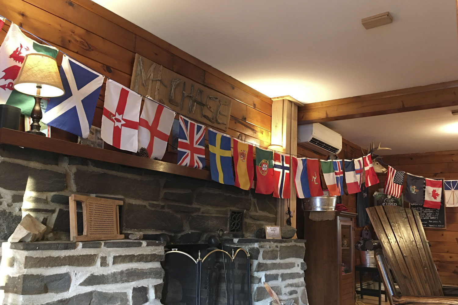
Will was kind enough to share a few of his photo albums from each section. He brought three and said he had many more at home! He also brought photos of the flags of each section that he had taken while hiking. Will said that he did much of his planning on an iPad mini during the long, dark New England winters. He also did the entire hike without a cell phone!

After hearing some of his stories of his adventures, Dick and Don presented him with a framed map of the International Appalachian Trail to recognize his accomplishment.  Will is now working on a presentation of his 15-year journey which he will hopefully present at our Annual Meeting in 2024!

Will finished his IAT journey this past summer in the Faroe Islands and the Isle of Man, as he describes in his own words below.

My International Appalachian Trail adventure began unknowingly in the spring of 2009. I answered an ad from Tom who was looking for a hiking partner in Scotland. Why not?! 15 years later I have completed my International Appalachian Trail hike.

My goal was to put my boots in all of the 26 regions that the IAT is located, in total 2,160 miles. This was the mileage of the Appalachian Trail in 1998, the year I completed my AT thru hike.

This past winter, I planned the final hike to the Isle of Man in the Faroe Islands. Joining me were two grandkids; “Frankie,” age 17 and Poppy, age 11. I searched for trail information online as well as flights, lodging, local transportation and other details.

The trip was planned for June 18 to July 4, we flew to Edinburgh and spent two days visiting the city before flying to the Isle of Man. The next morning, we began on a six-day hike on a rail trail to Peel on the West Coast. We found the “Way of the Gull” coastal path, which we would follow for 55 miles. Our lodging included a church bunkhouse, guest houses and hostels.

We commuted to the trail most days with local buses and vintage steam trains. This trail offered good coastal views, sea cliffs, rocky beaches, good and bad weather, many sheep and some road walks. We had a good hike back to Edinburgh before flying to the Faroe Islands the next day.

We arrived in Tórshavn, the capital city and arrived at our college dorm and summer hostel. We rented a car to reach the scattered trails for the next three full days of hiking. The weather here is often cold, cloudy and windy. We started with a long drive to the north coast on the island of Streymoy and hiked over a high pass between two very small villages.

The first day was a nice long walk and only a few hours of rain. The next day we hiked out of Tórshavn and hiked with coastal views to another small village with Middle Ages history. Its church was built in 1111 and continues to welcome worshipers.

Later that day, we drove to the island of Vágar and hiked to sea cliffs and a coastal waterfall. Lastly, we traveled to the north coast of Eysturoy. To get there we drove through the only undersea tunnel with a roundabout. We had overcast weather as we started to climb the highest mountain in the islands. As we reached the summit, the clouds lifted and offered good views of the surrounding coast.

Slættaratindur is my Katahdin of the International Appalachian Trail. The opportunity to hike the trail with family, good friends and many strangers was quality time and the fellowship experienced in many countries is a wonderful memory. Thanks to Dick Anderson for such a crazy idea.

Slættaratindur summit “my Katahdin”

New FarOut Guides for Nova Scotia and Prince Edward Island now available!

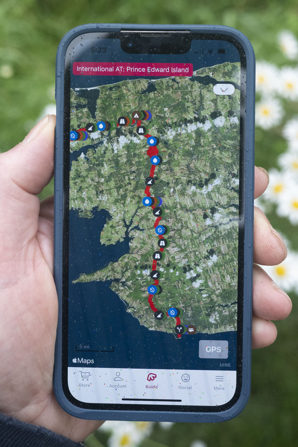
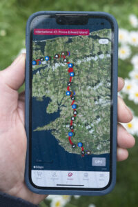
The Prince Edward Island and Nova Scotia sections of the IAT/SIA have been added to the FarOut trail app for long-distance hikers. Formerly known as Guthook Guides, the new sections join IAT/SIA guides for Maine, New Brunswick and Quebec which were released in 2020.

For those unfamiliar with FarOut, it was first developed as an iPhone app in 2012 by AT thru-hiker (and Maine native) Ryan Linn and has become the most widely used trail app for long-distance hikers in the years since.

The app allows hikers to download detailed, up-to-date maps and information on campsites, water sources, resupply opportunities and more to any smart phone. Additionally, users can share information about current trail conditions, hiker-friendly towns or places to get a good hamburger.

The guide app downloads everything to a hiker’s phone, so a cellphone signal is not required on the trail. User created comments are saved in the app and may be uploaded when cellphone or WIFI service is available. The guides can also be viewed  in a web browser on any computer.

The Prince Edward Island and Nova Scotia sections are available for $5 and $9 (USD). The original Maine and New Brunswick sections are available for $7 (USD) each and the Quebec section is $13. You can but all five sections for $30 – a 25% savings! For more information visit the FarOut website.

An Interview with Lil Buddha

Lil Buddha's Pangea Traverse
Lil-Buddha-Southernmost-Terminus-of-the-ECT_Pangaea-Traverse
Lil Buddha at the Southernmost Terminus of the ECT

This summer, I had the pleasure of speaking with thru-hiker Lo Phong La Kiatoukaysy, known on trail as Lil’ Buddha. Through our conversation, I was able to glean some insight into Lil’ Buddha’s experience on the IAT and his plans to complete the hiking route that he is pioneering, the Pangaea Traverse.

Lil’ Buddha grew up in Kansas in a Hmong-American family. When asked how he first got into thru-hiking, Lil’ Buddha noted that he was always hiking, backpacking, and camping with extended family, especially out in Colorado. Lil’ Buddha embarked on his first thru-hike at the age of 19. Two months before the fall semester at the University of Kansas, Lil’ Buddha decided to hike the John Muir Trail, which he learned about by reading Ray Jardine’s Pacific Crest Trail Hiker’s Handbook. (Jardine was the first person to popularize using homemade lightweight gear and techniques, including early start times with longer days and more mileage at a slower pace. Lil’ Buddha was part of the first generation of ultralight backpackers following Jardine.) Later in life, after moving to New York City, working in corporate America, and surviving the 9/11 attack on the Twin Towers, Lil’ Buddha used his free time and sabbaticals to hike the Pacific Crest Trail (PCT), the Continental Divide Trail (CDT), and the Eastern Continental Trail (ECT). He has since hiked each of the trail systems three times each, making him the first known Asian American and Hmong-American to achieve the Triple Triple Crown thru-hiker status.

Lil’ Buddha first encountered the IAT in 2010, after hiking the PCT and following legendary thru-hiker Nimblewill Nomad. That year, he embarked on a northbound hike of the ECT, which includes the IAT. In 2019, he completed a southbound hike of the ECT, beginning at Cap Gaspé. Finally, in 2023, Lil’ Buddha thru-hiked the ECT for the third time, from Florida to the tip of Newfoundland. This hike, completed in October 2023, marked the beginning of Lil’ Buddha’s endeavor to hike the Pangaea Traverse, “a multi-year, transatlantic expedition across the geographically separated spine of the ancient Central Pangea Mountains, from Key West, Florida, to Mount Toubkal, Atlas Mountains, Morocco.”

Lil’ Buddha noted that the concept of the Pangaea Traverse is inspired, in many ways, by the IAT. However, whereas the IAT’s trails are geographically disconnected, the Pangaea Traverse seeks to piece together the remnants of the Central Pangaea Mountains as continuously as possible. Many of the trails that make up the Pangaea Traverse (an additional 8,000-9,000 miles) are not officially part of the IAT but have been co-branded as “possible” by the organization. According to Lil’ Buddha, “since Pangea no longer exists and is now split into the continents we know today, a Pangea Traverse is not possible in the literal sense. The hypothetical route is an amalgamation of several established thru-hiking trails, backcountry routes, a cross-network of walking and cycling paths, and route planning.” Lil’ Buddha’s hike of the Pangaea Traverse has been divided into three sections, each spanning approximately 6,000 miles (the Pangaea Traverse totals about 17,500 miles).

After his 2023 hike of the North American section of the Pangaea Traverse, Lil’ Buddha planned to complete the second section of the hike – Greenland, Iceland, and the UK – this summer. However, a leg injury has kept him off trail. Lil’ Buddha will return to the Pangaea Traverse once he is fully recovered and said that he has not felt pressed for time, since this will be the most extensive hike of his career.

Lil Buddha's Pangea Traverse

When asked what he has found most special about his experience hiking the ECT/IAT/North American section of the Pangaea Traverse, Lil’ Buddha emphasized both the transition through various landscapes and peoples, and the sense of connectivity across the North American landscape.

At the southernmost point of the ECT in Florida, there is a great deal of biodiversity with the wetlands, and there are beautiful sunsets and cloudscapes. Lil’ Buddha noted that at Flagg Mountain in Alabama, the first 1,000-foot mountain of the North American section, one begins to get a sense of the Appalachian Mountains that gradually increase all the way past Katahdin (along the IAT). Such gradual changes in the landscape provide a feeling of connectivity. Additionally, Lil’ Buddha pointed out that the ECT runs from the Atlantic to the Atlantic – when he reached the northernmost terminus in Newfoundland in 2023, it was the first time he had seen saltwater in five months, since the beginning of his hike.

The ECT also passes through several peoples across North America. In particular, Lil’ Buddha noticed the changes in dialects and language, from Southern American English to Appalachian English to Québécois French to Newfoundland French. But Lil’ Buddha also recognized peoples’ hospitality towards thru-hikers in all parts of the continent.

According to Lil’ Buddha, although East Coast hiking is often overlooked, the IAT is a precious trail in the U.S. and Canada. Importantly, the IAT and its routing along roads, in particular, put thru-hikers in touch with the peoples of the most northeastern corner of North America.

Read more about Lil’ Buddha’s hiking experience and about the Pangaea Traverse on his website, https://lilbuddhahikes.org/home, or take a look at his Instagram, @lilbuddhahikes.

A Short History of the IAT-Border of US and Canada

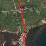
Map of Mars Hill

Bordering New Brunswick, the towns of Fort Fairfield and Mars Hill, Maine, are uniquely positioned to highlight the IAT’s mission of fostering international cooperation between the US and Canada.

When Richard Anderson conceived of the IAT, he sought to encourage Americans and Canadians to think across the border, as he had done so in his professional life. Anderson had worked along the St. Croix River (Maine-New Brunswick) as a key negotiator in the establishment of the St. Croix International Waterway Commission, approved by both Maine and New Brunswick. Anderson had also worked with the Audobon Society in Quebec, looking at migration patterns of snow geese. With a trail to link the common landscape of both sides of the US-Canada border, Americans and Canadians would be able to see past the boundary dividing them.

Historically, the northeast border between Maine and Canada was never very firm: from the time of settlement to the mid-nineteenth century, the border shifted over and again. The Webster-Ashburton Treaty of 1842 finally solidified the border after the Aroostook War (1838-1839), a dispute between civilians (mostly lumberjacks) over the international boundary between the American state of Maine and the British colony of New Brunswick. 

Despite the history of the disputed border, Maine and New Brunswick evidently share a common landscape and geological history. Additionally, single families occupy either side of the international boundary (for example, during the Covid-19 pandemic, special border-crossing exceptions were implemented for towns like Fort Fairfield and Mars Hill in order that families separated by the official border could still see each other). The boundary section of the IAT – which extends from the north slope of Mars Hill to the town of Fort Fairfield, where the trail goes along the border between Fort Fairfield, Maine, and Perth Andover, New Brunswick – embodies the commonalities that link the two countries in this northeast corner of North America.

Since the mid-1990s, the IAT has effectuated its goal of fostering cross-border cooperation. After attending an IAT board meeting in 1998, the Executive Director of the Fort Fairfield Chamber of Commerce, Cheryl Boulier, wrote: “I… was extremely impressed with all the support that I saw from different geographic areas, both from the United States and Canada for this project. It is very exciting to us that we would have an opportunity to be able to promote the [IAT] in our community as a vital link in providing a border crossing from the United States into Canada.”