
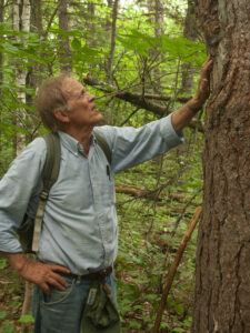
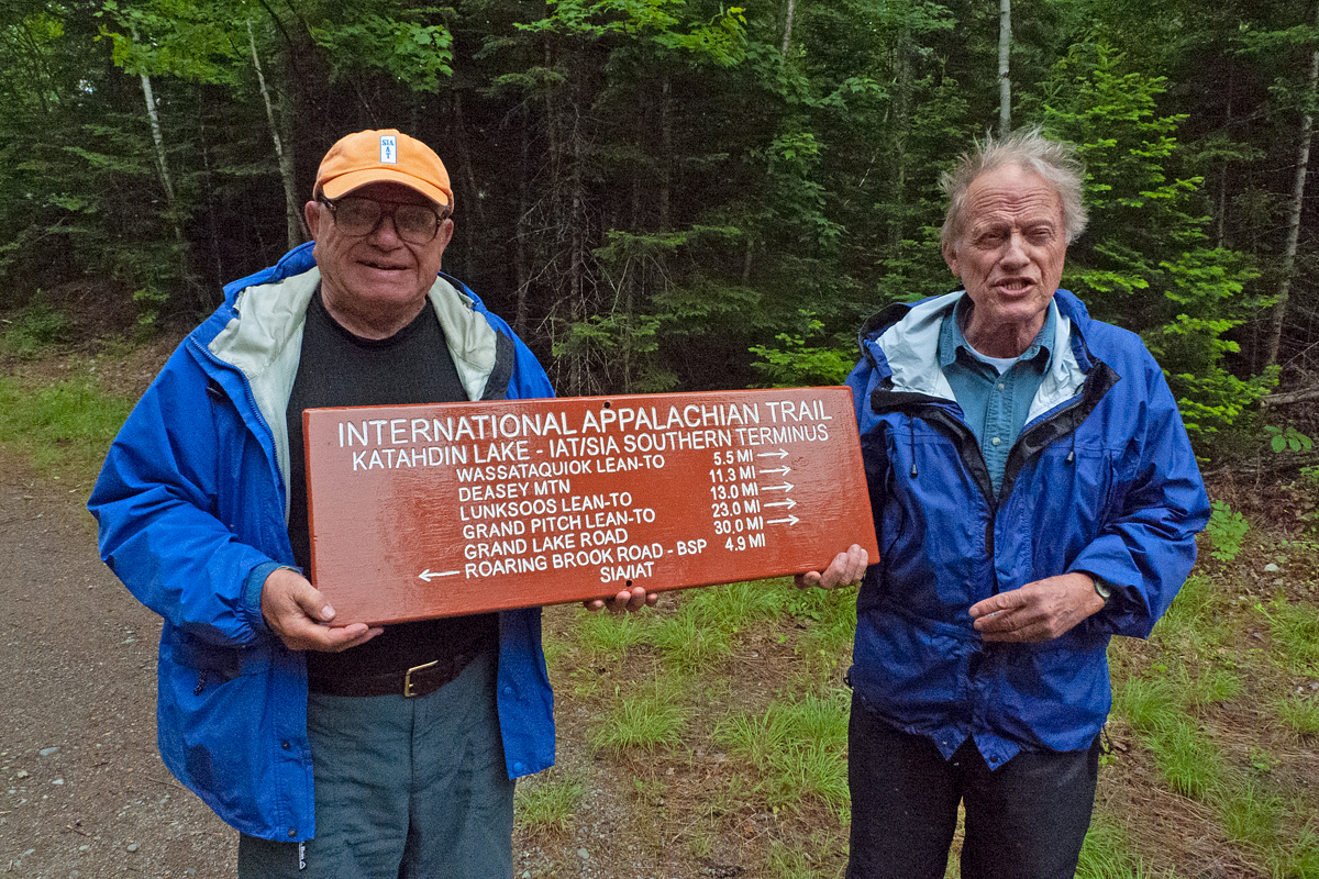
In Memory of our friend Walter Anderson
Continue reading
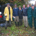
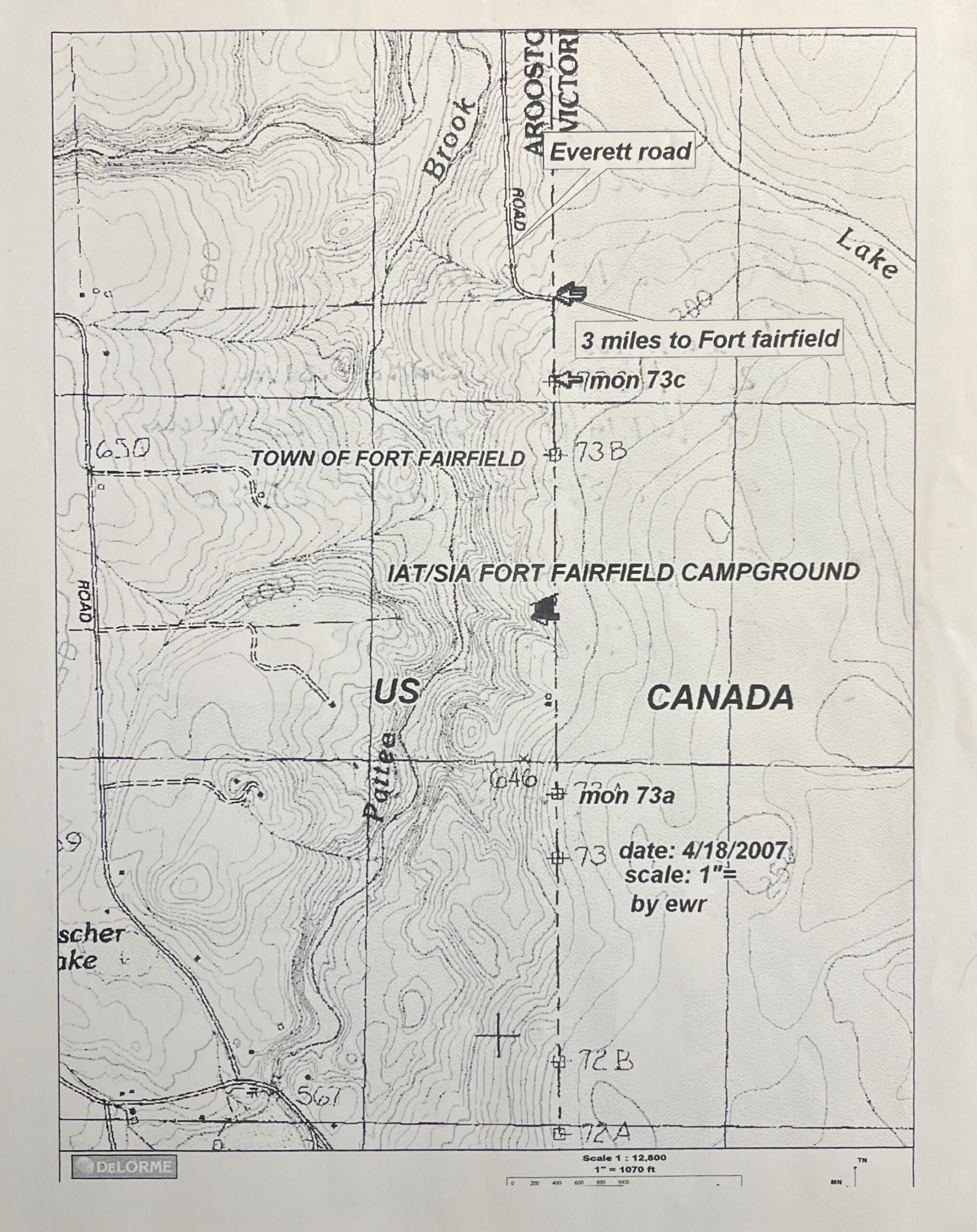
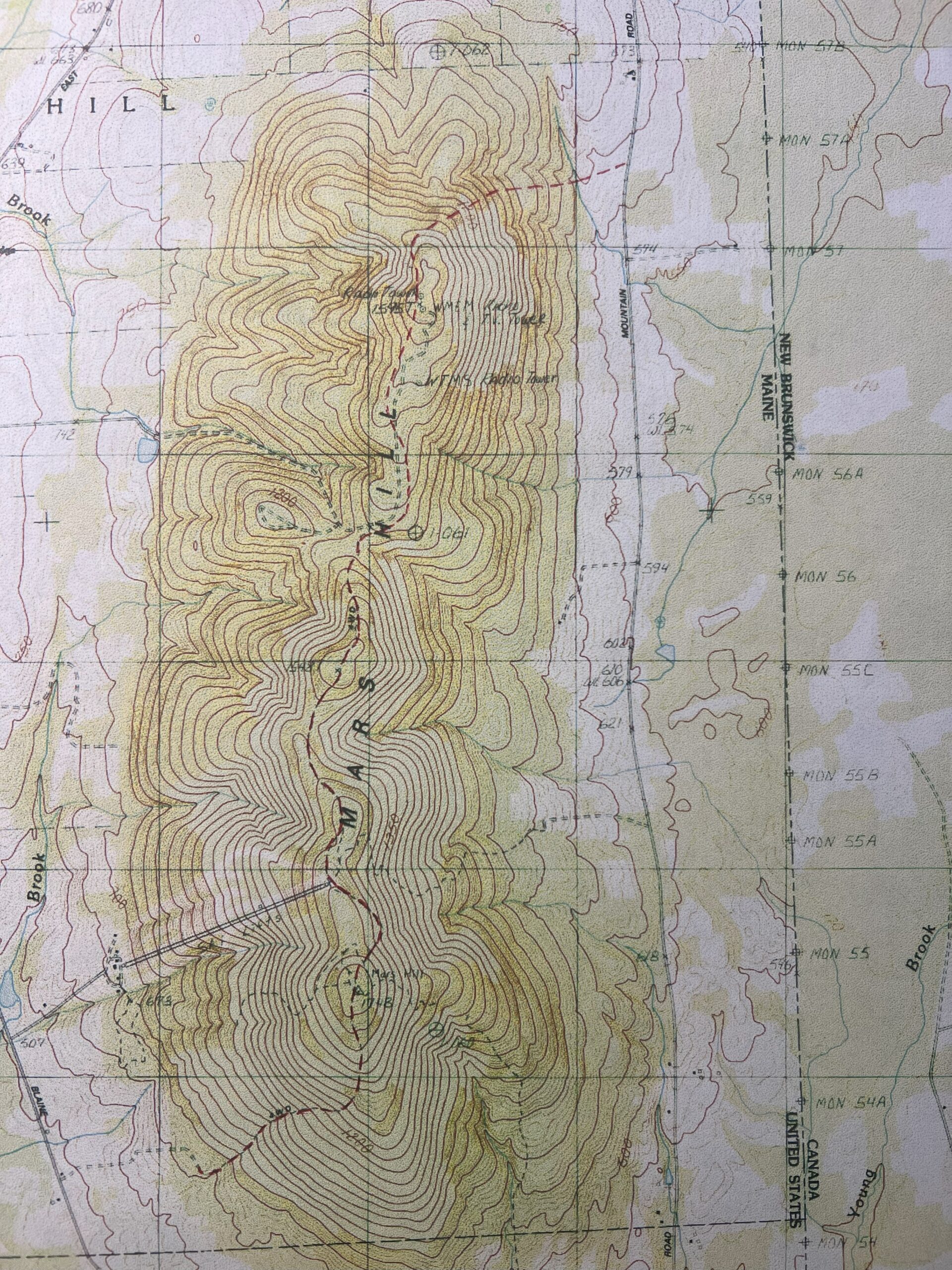
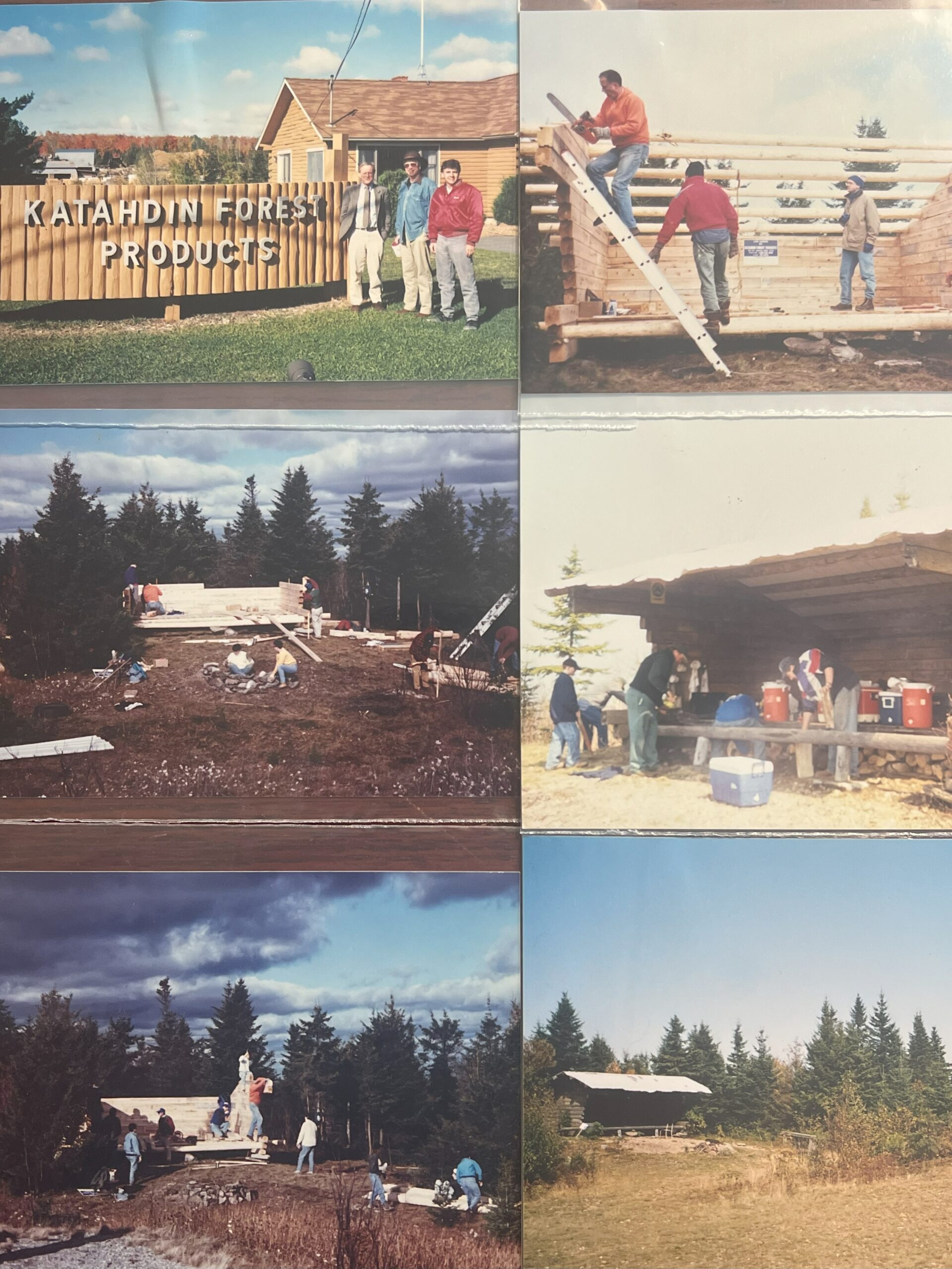
Posts about the early days of the Maine IAT
In Memory of our friend Walter Anderson
Continue reading


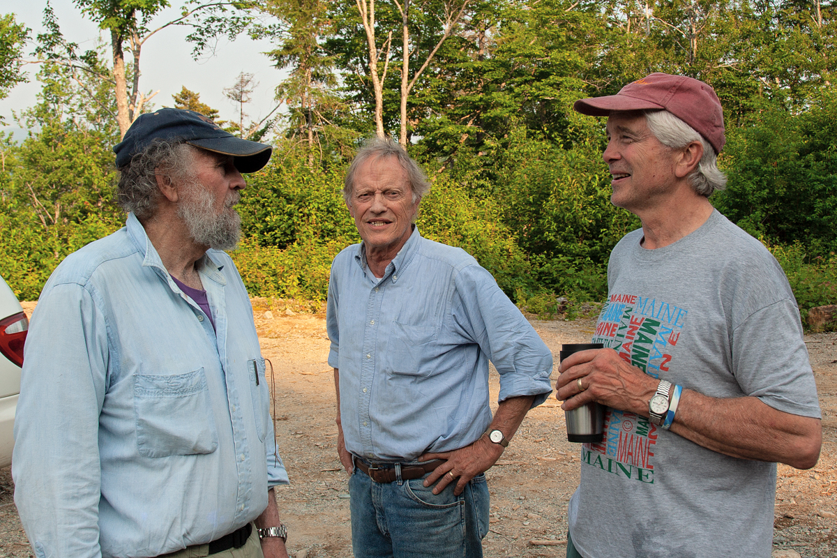
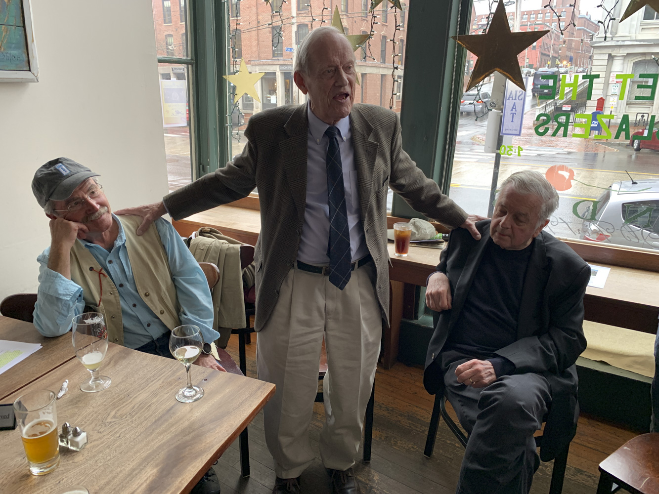


In Memoriam of our friend Earl Raymond
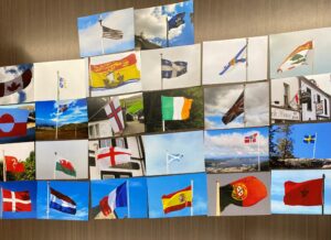
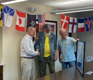
Continue readingWriteup on the visit to the Maine Historical Society exhibit
Continue reading

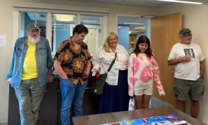


In Memoriam of our friend Torrey Sylvester
Continue reading