An Interview with Lil Buddha

Lil Buddha's Pangea Traverse
Lil-Buddha-Southernmost-Terminus-of-the-ECT_Pangaea-Traverse
Lil Buddha at the Southernmost Terminus of the ECT

This summer, I had the pleasure of speaking with thru-hiker Lo Phong La Kiatoukaysy, known on trail as Lil’ Buddha. Through our conversation, I was able to glean some insight into Lil’ Buddha’s experience on the IAT and his plans to complete the hiking route that he is pioneering, the Pangaea Traverse.

Lil’ Buddha grew up in Kansas in a Hmong-American family. When asked how he first got into thru-hiking, Lil’ Buddha noted that he was always hiking, backpacking, and camping with extended family, especially out in Colorado. Lil’ Buddha embarked on his first thru-hike at the age of 19. Two months before the fall semester at the University of Kansas, Lil’ Buddha decided to hike the John Muir Trail, which he learned about by reading Ray Jardine’s Pacific Crest Trail Hiker’s Handbook. (Jardine was the first person to popularize using homemade lightweight gear and techniques, including early start times with longer days and more mileage at a slower pace. Lil’ Buddha was part of the first generation of ultralight backpackers following Jardine.) Later in life, after moving to New York City, working in corporate America, and surviving the 9/11 attack on the Twin Towers, Lil’ Buddha used his free time and sabbaticals to hike the Pacific Crest Trail (PCT), the Continental Divide Trail (CDT), and the Eastern Continental Trail (ECT). He has since hiked each of the trail systems three times each, making him the first known Asian American and Hmong-American to achieve the Triple Triple Crown thru-hiker status.

Lil’ Buddha first encountered the IAT in 2010, after hiking the PCT and following legendary thru-hiker Nimblewill Nomad. That year, he embarked on a northbound hike of the ECT, which includes the IAT. In 2019, he completed a southbound hike of the ECT, beginning at Cap Gaspé. Finally, in 2023, Lil’ Buddha thru-hiked the ECT for the third time, from Florida to the tip of Newfoundland. This hike, completed in October 2023, marked the beginning of Lil’ Buddha’s endeavor to hike the Pangaea Traverse, “a multi-year, transatlantic expedition across the geographically separated spine of the ancient Central Pangea Mountains, from Key West, Florida, to Mount Toubkal, Atlas Mountains, Morocco.”

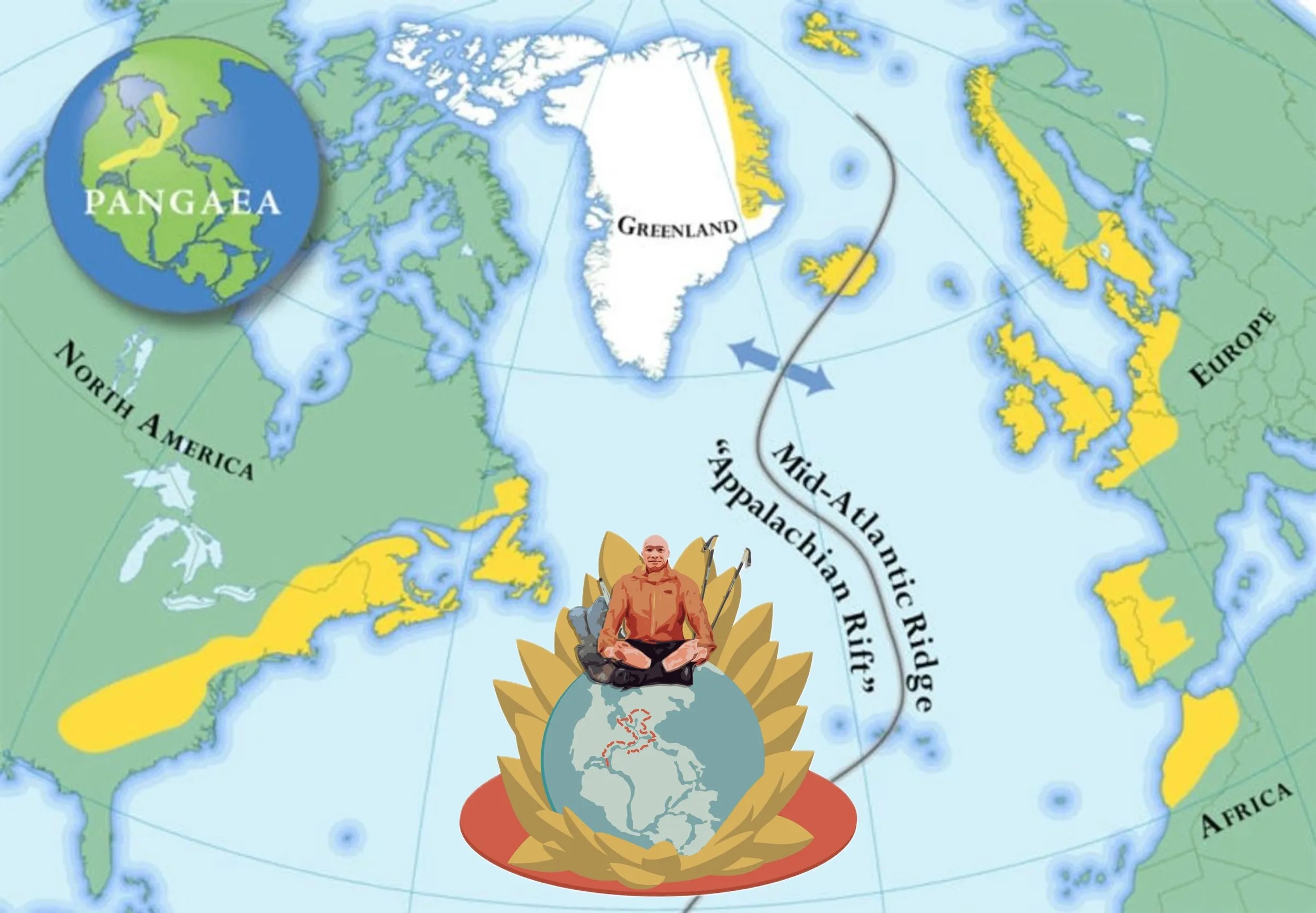
Lil’ Buddha noted that the concept of the Pangaea Traverse is inspired, in many ways, by the IAT. However, whereas the IAT’s trails are geographically disconnected, the Pangaea Traverse seeks to piece together the remnants of the Central Pangaea Mountains as continuously as possible. Many of the trails that make up the Pangaea Traverse (an additional 8,000-9,000 miles) are not officially part of the IAT but have been co-branded as “possible” by the organization. According to Lil’ Buddha, “since Pangea no longer exists and is now split into the continents we know today, a Pangea Traverse is not possible in the literal sense. The hypothetical route is an amalgamation of several established thru-hiking trails, backcountry routes, a cross-network of walking and cycling paths, and route planning.” Lil’ Buddha’s hike of the Pangaea Traverse has been divided into three sections, each spanning approximately 6,000 miles (the Pangaea Traverse totals about 17,500 miles).

After his 2023 hike of the North American section of the Pangaea Traverse, Lil’ Buddha planned to complete the second section of the hike – Greenland, Iceland, and the UK – this summer. However, a leg injury has kept him off trail. Lil’ Buddha will return to the Pangaea Traverse once he is fully recovered and said that he has not felt pressed for time, since this will be the most extensive hike of his career.

Lil Buddha's Pangea Traverse

When asked what he has found most special about his experience hiking the ECT/IAT/North American section of the Pangaea Traverse, Lil’ Buddha emphasized both the transition through various landscapes and peoples, and the sense of connectivity across the North American landscape.

At the southernmost point of the ECT in Florida, there is a great deal of biodiversity with the wetlands, and there are beautiful sunsets and cloudscapes. Lil’ Buddha noted that at Flagg Mountain in Alabama, the first 1,000-foot mountain of the North American section, one begins to get a sense of the Appalachian Mountains that gradually increase all the way past Katahdin (along the IAT). Such gradual changes in the landscape provide a feeling of connectivity. Additionally, Lil’ Buddha pointed out that the ECT runs from the Atlantic to the Atlantic – when he reached the northernmost terminus in Newfoundland in 2023, it was the first time he had seen saltwater in five months, since the beginning of his hike.

The ECT also passes through several peoples across North America. In particular, Lil’ Buddha noticed the changes in dialects and language, from Southern American English to Appalachian English to Québécois French to Newfoundland French. But Lil’ Buddha also recognized peoples’ hospitality towards thru-hikers in all parts of the continent.

According to Lil’ Buddha, although East Coast hiking is often overlooked, the IAT is a precious trail in the U.S. and Canada. Importantly, the IAT and its routing along roads, in particular, put thru-hikers in touch with the peoples of the most northeastern corner of North America.

Read more about Lil’ Buddha’s hiking experience and about the Pangaea Traverse on his website, https://lilbuddhahikes.org/home, or take a look at his Instagram, @lilbuddhahikes.

A Short History of the IAT-Border of US and Canada

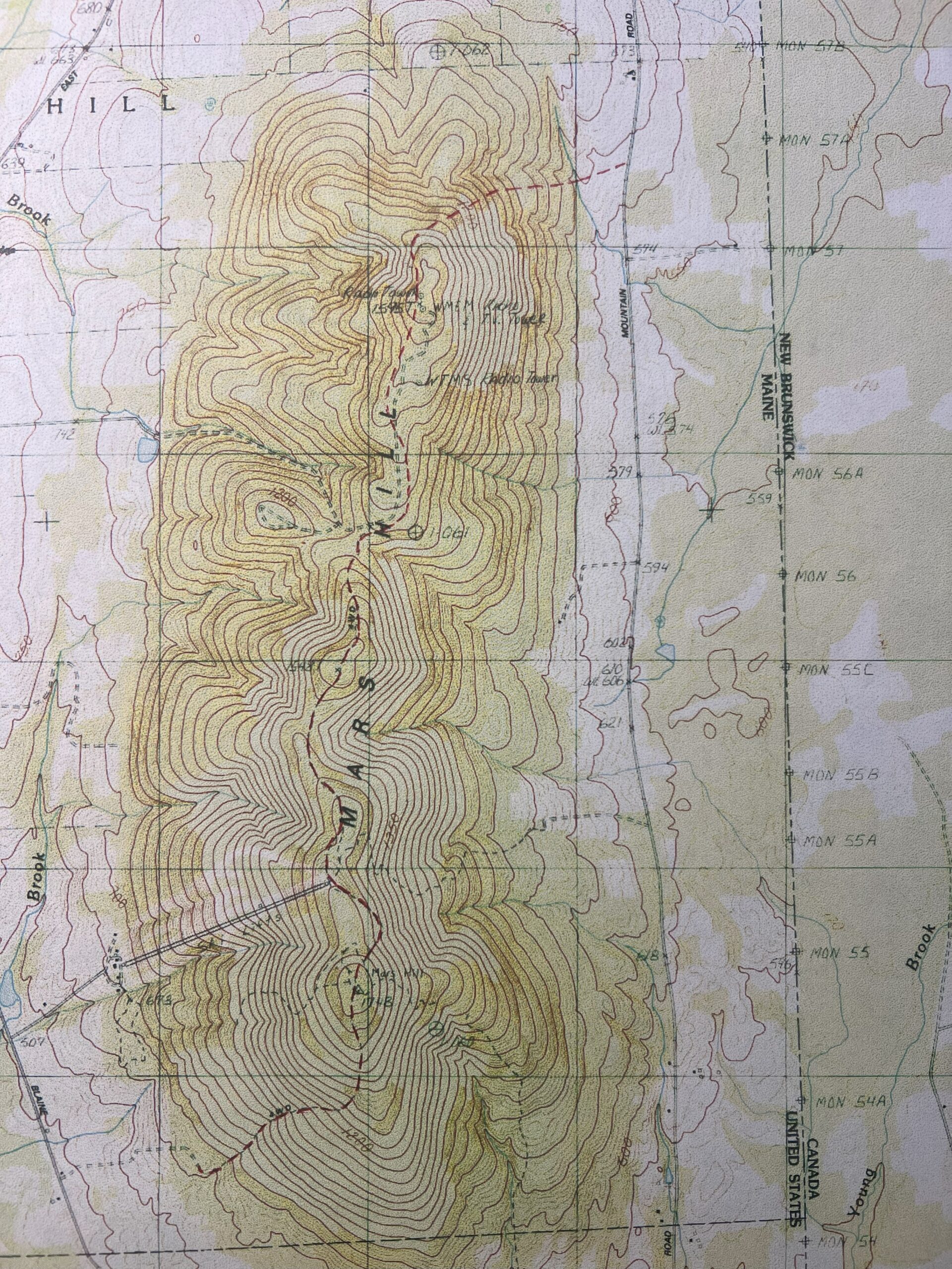
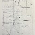
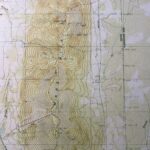
Map of Mars Hill

Bordering New Brunswick, the towns of Fort Fairfield and Mars Hill, Maine, are uniquely positioned to highlight the IAT’s mission of fostering international cooperation between the US and Canada.

When Richard Anderson conceived of the IAT, he sought to encourage Americans and Canadians to think across the border, as he had done so in his professional life. Anderson had worked along the St. Croix River (Maine-New Brunswick) as a key negotiator in the establishment of the St. Croix International Waterway Commission, approved by both Maine and New Brunswick. Anderson had also worked with the Audobon Society in Quebec, looking at migration patterns of snow geese. With a trail to link the common landscape of both sides of the US-Canada border, Americans and Canadians would be able to see past the boundary dividing them.

Historically, the northeast border between Maine and Canada was never very firm: from the time of settlement to the mid-nineteenth century, the border shifted over and again. The Webster-Ashburton Treaty of 1842 finally solidified the border after the Aroostook War (1838-1839), a dispute between civilians (mostly lumberjacks) over the international boundary between the American state of Maine and the British colony of New Brunswick. 

Despite the history of the disputed border, Maine and New Brunswick evidently share a common landscape and geological history. Additionally, single families occupy either side of the international boundary (for example, during the Covid-19 pandemic, special border-crossing exceptions were implemented for towns like Fort Fairfield and Mars Hill in order that families separated by the official border could still see each other). The boundary section of the IAT – which extends from the north slope of Mars Hill to the town of Fort Fairfield, where the trail goes along the border between Fort Fairfield, Maine, and Perth Andover, New Brunswick – embodies the commonalities that link the two countries in this northeast corner of North America.

Since the mid-1990s, the IAT has effectuated its goal of fostering cross-border cooperation. After attending an IAT board meeting in 1998, the Executive Director of the Fort Fairfield Chamber of Commerce, Cheryl Boulier, wrote: “I… was extremely impressed with all the support that I saw from different geographic areas, both from the United States and Canada for this project. It is very exciting to us that we would have an opportunity to be able to promote the [IAT] in our community as a vital link in providing a border crossing from the United States into Canada.”

Trail Work Report-June 2024

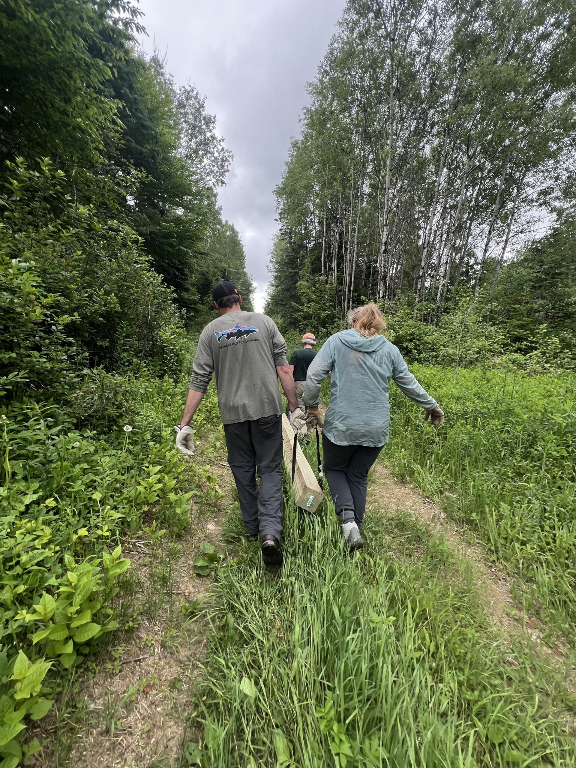
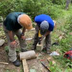
Carrying Beams to the lean-to

Trail Work-June 2024
Fort Fairfield, Beaver Bypass, and Mars Hill

On June 6, a trail crew of eight IAT members went up to the Mars Hill area to work on parts of the trail in need of maintenance.

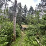
On our first day of work (June 7), we walked up to the Fort Fairfield lean-to. Originally constructed in 1998, the shelter needed to be jacked up and have some old sills replaced. Julia Daly and Bill Duffy had gotten started on the repair process back in March, sledding in new cinder blocks that would be used to replace the old ones, but our larger spring crew arrived to finish the job. After carrying two 100-pound beams to the lean-to using ratchet straps and four people on each beam, we spent the morning lifting the shelter and clearing overgrowth from around the site.

With so many trail crew members that weekend, we were able to get the Fort Fairfield work done in just a few hours. We then split into two groups: one headed to Mars Hill, while the other went to the Beaver Bypass along the US-Canada border (the Beaver Bypass was evidence of our earlier discussion that morning about beavers’ ability to drastically alter the landscape).

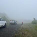
The next day (June 8) we went to work on Mars Hill. When we reached the near top of the hill, I couldn’t see the blades of the windmill through the mist but I could hear them whirring around – IAT hikers have commented on how much they’ve enjoyed sleeping to the sound of the windmills. We got out of the trucks, grabbed our tools, and zipped on our raincoats. Although it was too overcast to take in the view that looks down from Mars Hill onto New Brunswick, it was a cool experience being shrouded by mist at the top of the hill.

Our first stop at Mars Hill was the lean-to, which dates back to October 1996. The first Mars Hill trail crew had used a lawn roof rafter to get the parts for the structure up to the campsite at the hill’s summit, but our spring crew just worked on cleaning up and safety-proofing the designated fire pit, clearing weeds and charred wood.

We then continued on from the campsite to clear the rest of the trail as it winds along the hill. I must note that my favorite part of the IAT that I saw throughout the trail work weekend came about half a mile southbound from the Mars Hill lean-to: the young forest that flanks the trail is open and lush and green. Before the IAT signed an easement with the Mars Hill landowner Wendell Pierce and forest re-grew around the trail, the area had been farmland – Eric Hendrickson told me that sheep had grazed up and down the side of the hill. On June 8, 2024, the trees and ferns looked especially beautiful given the recent (ongoing) rain (downpour).

This past winter, Eric and Elaine Hendrickson had made note of fallen trees that would need to be sawed out of the way, so we focused on clearing out the trail. Given Josh’s efficiency with the chainsaw, we finished up the work by mid-day, and were finally able to retreat back into the trucks, heavily rained-on but feeling good about what we had accomplished that weekend at Fort Fairfield, the Beaver Bypass, and Mars Hill.

If you’re interested in getting involved with helping keep the trail nice for our hikers, please sign up to be notified of future trail work by visiting: Trail Work Volunteer Sign Up

Big Hikes on the IAT

The questions about hiking the IAT started coming early in the fall of 2016; questions about transportation, trail conditions in Maine, contacts for hiker information in Canada, and all the routes around the North Atlantic.

Denali, Don Hudson, Wuss
No one had proposed to walk the entire International Appalachian Trail, from the southeastern geographical high point of Flagg Mountain, Alabama, to the town of Taroudant, Morocco before Anne Conover reached out to us to learn more about the trail. Originally from Texas, Anne was teaching science in South Dakota when the IAT came across her screen. Something in the description of the trail, its origin and geologic underpinnings, and outlandish vision caught her attention. During one back and forth between Dick Anderson and Don Hudson, while discussing Anne’s plans to include some tall ship sailing to make connections between the trail in North America and the trail in Europe, the trail name of ‘Sail Away’ for Anne popped into Don’s head, and Anne accepted it enthusiastically. Plans were hatched to begin hiking north from Flagg Mountain as soon as possible after the end of the school year.
Scout
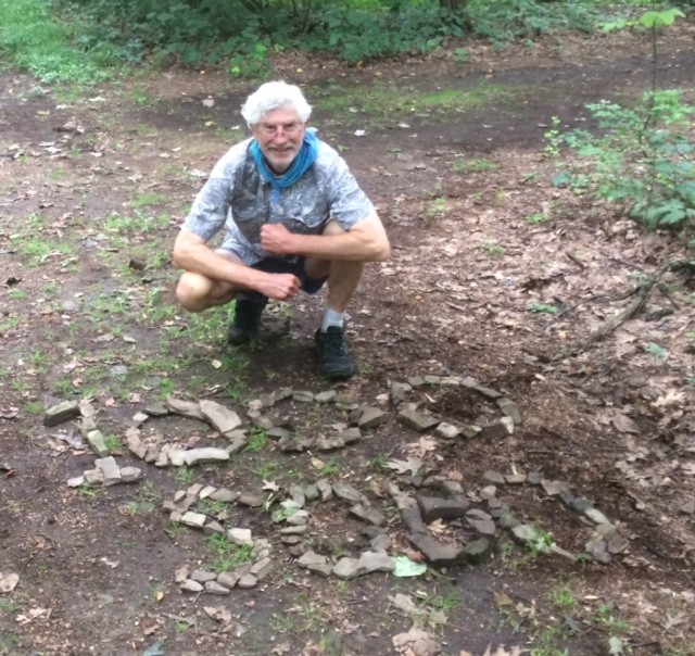
Barney ‘Scout’ Mann reached out to the Appalachian Trail Conservancy in the late winter with a request for help in promoting his new book about the Pacific Crest Trail (PCT). Barney was planning a southbound hike on the Maine section of the IAT as well as the AT, and he proposed a presentation and book signing for "someplace in Portland, Maine" in late May, just before heading out on his walk. Hawk Metheny at the northeast office of the AT in western Massachusetts put Barney in touch with Dick and Don, and they quickly added Seth Levy to the ad hoc committee charged with finding a venue for the book PCT.
Faith ‘Wuss’ McClure got in touch with Carol Gay in the IAT office in December with questions about the IAT in Maine and the connection to the AT through Baxter State Park. Faith had never done anything like this before, but she was planning to do a southbound hike of the Eastern Continental Trail from the Maine/New Brunswick border to her home state of Florida. Faith’s questions came just at the time that the Baxter State Park Authority closed the Katahdin Lake East gate used by the IAT to get from the new national monument into Avalanche Field in Baxter. We hemmed and hawed, and promised Faith that we’d have answers for her by the time in late May that she intended to start walking south.
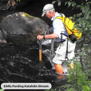
Later in the winter, we first heard from Mary ‘Denali McKinley who was planning to walk the IAT from Maine to Cap Gaspé, Quebec during her free summer (Mary is a math prof) as part of her section-hike of the entire Eastern Continental Trail. Mary had already walked all but the southern-most 100 miles of the ECT in Florida between Florida and Maine, and she was ready to begin to put the IAT behind her. Just as with Barney and Faith, our exchanges focused on how to get from the trail into Baxter now that the longstanding route past Katahdin Lake was temporarily blocked.
As this newsletter goes to press, we can report that all of these great hikes are on track or have been successfully completed.
Sail Away
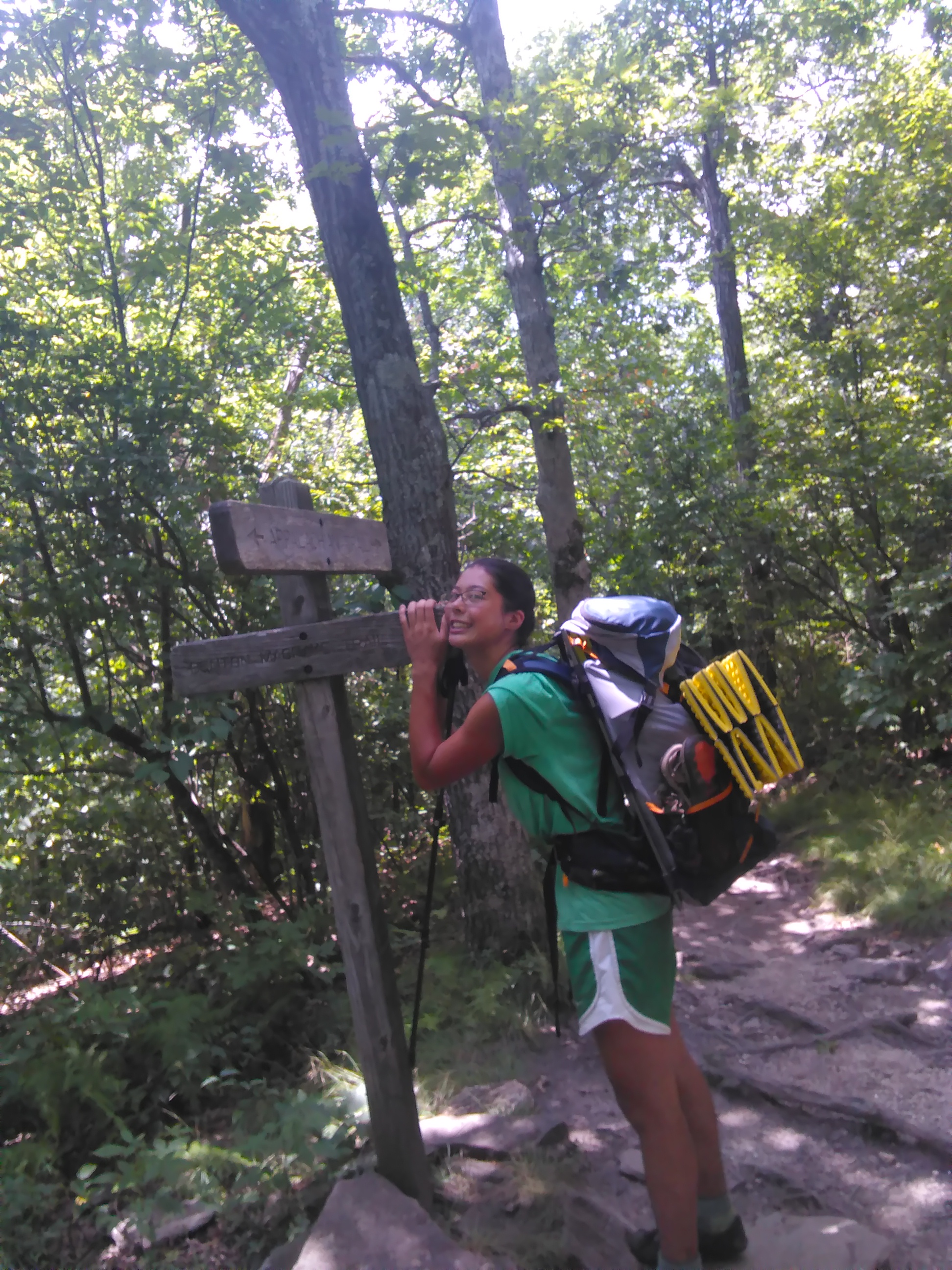
Sail Away is well on her way north, having taken a well-deserved day off to visit in farm in Asheville, North Carolina. Her brother walked with her for the first stretch, and now she’s heading north on the AT. She’ll make her way to the White Mountains of New Hampshire this fall, and stop for the winter season to earn some money and continue to plan for the trail ahead. The current plan is to complete the entire trail in four years — a challenging and inspiring goal. You can follow Sail Away’s progress at her blog – https://iatsailaway.wordpress.com.
By now, Scout, is likely walking in Maryland or West Virginia, on his way to Springer Mountain and the end of his summer’s walk on October 20th. You can follow him here – http://www.trailjournals.com/mann3. Scout makes a point to provide up to date information about trail conditions in his blog entries, and his early entries about the IAT in Maine are no exception. This kind of reporting is essential for those of us who maintain the trail.
One of the joys of working on the IAT in Maine is the opportunity to interact with the hiking community, a rich and varied collection of individuals. Half of the group presented here are southbounders (SOBOs) on the IAT. Cheryl and Kirk St. Peter stepped right up to job of ‘Trail Angels’ and helped Scout and Wuss, as well as ‘RT’ — a third SOBO who showed up serendipitously as Cheryl and Kirk were dropping off Scout in Fort Fairfield. Cheryl’s note of a few days later says it all:
5/31 – From Cheryl
Hi Scout!
First, so sorry about the tick! Really, Kirk didn’t think we had any this far north, since we’ve never encountered any or heard of anyone encountering any (until now). Also, sorry about the bogs – glad you found that a highlight. We actually followed the ATV path when it veered off the border trail when we hiked in 2010.
Second, the road walk from Shin Pond to Matagamon is not a typical road walk, since it’s all through the woods with no houses – very pleasant, actually. FYI, a really nice place to take a break is at Hay Lake; it’s worth a stop.
Third, we’ve been reading both journal entries – yours and RT’s – great entries and photos – thanks!
Attached is the story that I finally had a chance to write up for our website. Let me know if you see anything you’d like to change before we post it.
Good luck with the rest of your hike!
Cheryl (& Kirk)
P.S. Did you ever meet up with Faith “Wuss” McClure at Brookside? I wonder how she’s doing?

What about Wuss?!
When Mary ‘Denali’ McKinley got in touch to tell us that she was arriving in Portland on June 9th, Dick and Don decided to meet with her before she headed out on the trail. The connections by bus from Portland to Millinocket consume most of a day, so Don offered to drop Denali at the Mile #12 starting point of the IAT in Katahdin Woods & Waters National Monument the next day. As Don and Denali arrived at the drop-off point on the Loop Road in the monument, out of the woods walked Wuss. After dropping Denali’s pack in the Katahdin Brook lean-to, Don dropped her at the old Katahdin Lake East path before ferrying Wuss to the AT Lodge in Millinocket.
As Denali headed north, Wuss headed south. When Don reported to Denali in late July that Wuss had taken a well-deserved week off to rest her knees, she proposed that we change Wuss’s trail name to No Wuss. And, it’s done! While Denali wrapped up her hike at Cap Gaspé on August 13th, No Wuss was heading into Massachusetts on her way south. No Wuss has elected to by pass the Mahoosucs and the White Mountains until her legs are stronger and her knees more resilient.
The stories of long distance hikers put trails such as the IAT on the map. We have no idea how many people have walked the IAT in Maine or the complete trail in Canada, yet we are confident that the story of John Brinda’s walk in 1997 inspired Nimblewill Nomad — Eb Eberhart — to walk from Key West to Belle Isle.
The four stories shared here are just a handful of stories from the IAT this summer, and they will no doubt inspire others to get out on the trail in the coming months and years.
A walk in the woods is never truly a solitary experience!
Orin Falls Hike with Aislinn Sarnacki

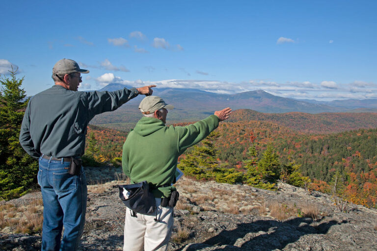
Aislinn Sarnacki of the Bangor Daily News will take you on a 1-minue hike of Orin Falls in Katahdin Woods and Waters National Monument.
Click Here to go to the full story on the Bangor Daily News website and watch the video.
About Aislinn Sarnacki
Aislinn is a Bangor Daily News reporter for the Outdoors pages, focusing on outdoor recreation and Maine wildlife. Visit her main blog at actoutwithaislinn.bangordailynews.com.

IAT Attends 2017 ATC Biennial

(L-R) Dick Anderson, Earl Raymond, Don Hudson and Paul Wylezol at the IAT booth
The Appalachian Trail Conservancy held workshop and business component of its AT Vista conference at Colby College in Waterville, Maine, between Friday, August 4th and Sunday August 5th.
The International Appalachian Trail was well-represented by the North American contingent, including Maine Chapter Board Members Dick Anderson, Don Hudson, Earl Raymond, and Herb Hartman.
IAT Maine Board Member Cliff young wears two hats; Cliff spent a busy weekend as a conference volunteer for the Maine Appalachian Trail Club. The connections between MATC and IAT Maine are growing annually in large part owing to Cliff’s participation with both groups.
The IAT workshops were well attended, beginning with a presentation by Poul Jorgensen of IAT New Brunswick and Sentier NB Trails, which included a very nice glimpse of the new southern route for the IAT — from Perth Andover to St. John, and on to southeastern New Brunswick and the links to PEI and Nova Scotia. The IAT is a bit like the Silk Road, as it is in fact a network of trails that lead from Maine through Atlantic Canada to the North American terminus at Crow Head, overlooking the United Nations World Heritage site at L’anse aux Meadows. IAT International Council co-chair Paul Wylezol followed up with an overview of IAT development across Europe, as well as an in-depth introduction to the Global Geopark system, now a UNESCO program on par with Man and the Biosphere and the World Heritage program. Paul focused on ‘Drifting Apart’, the EU-funded collaboration of Geoparks around the North Atlantic Ocean Basin, which were inspired — he suspects — by the organizing geologic principles of the IAT. There are now two Canadian partners in Drifting Apart, including Stonehammer Geopark in southwestern new Brunswick and the Cabox aspiring Geopark, named for the highest point in Newfoundland and centered on the Humber Valley and the very special tectonic history of that region. The stunning photography — is there ever a cloudy day in the Humber Valley?!! — jad a lot of people buzzing about making a trip to walk in Newfoundland. Central to IAT Newfoundland’s focus this year, and for the coming several years, is the celebration of James Cook’s explorations and mapmaking, which began in earnest in western Newfoundland 250 years ago. Look for Cook 250 reports throughout the remainder of this year in particular, as the IAT in Newfoundland winds right along the dramatic coastline where Cook cut his teeth as a chart maker for the British Admiralty.
The afternoon workshop focused on the IAT in the new Katahdin Woods and Waters National Monument. Dick Anderson opened with the history of IAT Maine’s relationship with landowner Roxanne Quimby in 2004, and the succession of land acquisition, trail, and campsite building that brings us to the present time. Don Hudson and Earl Raymond then filled out Dick’s outline, and left the audience with a good understanding of how IAT Maine Board Members helped to explore and interpret the rich human and natural history of the East Branch lands in advance of the gift by Roxanne of 89,000 acres to the nation, and President Obama’s official designation of the monument on August 24, 2016. Some concern about the status of the monument under the review of current Department of Interior Secretary Zinke surfaced. Don shared his confidence in the process, and his expectation that though some specific recommendations may result for Zinke’s review, such as the development of a model, working forest for a 13,000 acre parcel in the northeast corner of the monument, the overall status will remain unchanged. In fact, Secretary Zinke stated flatly that the best outcome might be for the monument to move as quickly as possible to National Park status. Readers of this space should stay tuned! Just as the morning session created a bit of a buzz about exploring Atlantic Canada, the afternoon session left participants wanting to have a closer look at places such as Stair Falls, Thoreau’s Checkerberry Campsite, or the Old Keep Path, which was surveyed shortly after statehood on order by the Maine Legislature to flesh out the route for a wagon road from the east to the top of Katahdin — not to be out done by the Mt. Washington Road.
The business and workshop component of the conference concluded largely Sunday evening, including the traditional reception for long distance thru-hikers, hosted this year by the Appalachian Long Distance Hikers Association and the IAT. Dick lead off the reception with high praise of retired ATC Executive Director David Startzell. Dick said of Dave, "[here add some quotes directly from Dick’s speech — Dick, send a copy of your speech to Carol, please!]. Paul and Don then presented Dave with a framed certificate as one of IAT Maine’s first class of Honorary Directors. Dave joins Governor Joe Brennan, founding treasurer Bill Nichols, and the indomitable Torrey Sylvester, who almost single-handedly acquired 8 of our 9 lean-tos as outrigh donations from Katahdin Log Homes. This first group of Honorary Directors is an exemplary band of friends and champions of the trail.
Conference goers will stay in the Waterville area through August 11th to enjoy field trips and a variety of half- and day-long workshops on a range of aspects of trail building and maintenance, as well as search and rescue and other aspects of organizational responsibility and leadership.
The 2020 AT Vista Conference will be at Ramapo College in New Jersey, and the IAT will be there!

MCIAT Annual Meeting

The 23rd Annual Meeting of the Maine Chapter of the International Appalachian Trail was held May 18, 19, and 20 at Shin Pond Village and Mt. Chase Lodge.
One of the principle objectives of the meeting was to certify our trail crew volunteers for work on the new Katahdin Woods and Waters National Monument. A special chainsaw certification workshop was held Thursday morning and afternoon, leading up to our traditional gathering at the Patten Lumberman’s Museum. The Curator of the museum, Rhonda Brophy welcomed us with an update of work, and especially on the significant impact that the designation of the national monument has had on visitation. Following the designation in late August 2016, the number of visitors to the museum has doubled.
Thursday night’s dinner at Shin Pond Village was followed by a presentation by author Catherine Schmidt on her recently published book – The President’s Salmon: Restoring the King of Fish and its Home Waters. Catherine has chronicled the decline of the historic population of salmon in the Penobscot watershed, as well as the efforts by conservationists, the Penobscot Indian Nation, politicians, and scientists to restore the river to some semblance of its former health and vitality.
The Friday program included an important introduction to the leadership of the new national monument, and expectations for the support and work of volunteers, as well as a series of reports on topics ranging from current management projects in Baxter State Park, a new muscle-pwered, multi-use trail planned for the stretch of national monument and neighboring land from Grindstone Rapids to the Sebois River Gorge east of the East Branch of the Penobscot River. We heard about the efforts of current businesses to support the monument, as well as the status of the Matagamon Dam and the work of the Department of Marine Resources to restore salmon in East Branch.
A highlight of the late afternoon business meeting was the award to Torrey Sylvester, IAT Board Member since 1995, of Honorary Director. Among many other contributions, Torrey secured every one of the IAT lean-tos — 9 of the 10 through outright donations by log home building companies in Aroostook County. Torrey joins Joe Brennan and Bob Nichols as our first Honorary Directors.
Following a sumptuous dinner at Mt. Chase Lodge, Bart DeWolf spoke about the search for the location of historic dams — now long gone — along Wassataquoik Stream, as well as key fords of the stream used by early explorers of Katahdin and the region.
A small group of hikers joined Bob Marvinney for a good walk up Sugarloaf to view the historic geologic site described by Bob Neuman. Neuman’s identification of fossil brachiopods on Sugarloaf as a Europeans species identical to ones found in Ireland and Wales helped launch the theory of plate tectonics to its prominence, explaining the fundamental and dynamic Earth system.
Lastly, thanks to Walter Anderson for finding the speakers and coordinating another productive and enjoyable Annual Meeting.

Scout & Rolling Thunder (RT) Start SOBO IAT Maine

Why in the world would two southbound (SOBO) Appalachian Trail (AT) thru-hikers start at the U.S./Canada border crossing in Fort Fairfield, Maine? Well…because both their Pacific Crest Trail (PCT) and Continental Divide Trail (CDT) hikes started (and ended) at an international border! Therefore, Barney “Scout” Mann and John “Rolling Thunder” or “RT” Henzell started their AT thru-hike at the northern terminus of the International Appalachian Trail (IAT) in Maine – the border crossing in Fort Fairfield – on May 27, 2017. It was a beautiful, sunny spring day in northern Maine, albeit with the typical complement of black flies in attendance. My husband, Kirk, and I met them and Scout’s wife Sandy (trail name “Frodo”) for breakfast at Subway in Fort Fairfield to go over maps and offer some advice.

Earth Day

Happy Earth Day!
Thank you to everyone who has been involved with the IAT. Today, we are celebrating 23 years of successfully moving ahead on the idea of "thinking beyond borders" and expanding and improving the International Appalachian Trail.
The vision to build a hiking trail through the northern Appalachian Mountains was proposed at a news conference on Earth Day, April 22, 1994, in Portland, Maine, by former Maine Governor Joseph E. Brennan and Maine conservationists Dick Anderson, Don Hudson, Cloe Chunn and Dick Davies. It was designed as a project that would give Mainers an opportunity to work with and get to know their Canadian neighbors by using the geology of the landscape as a guide to link us together with a narrow walking path.
The plan was to work with New Brunswick and Quebec to develop a hiking trail that followed the Appalachian Mountains, from Maine’s Katahdin to Mount Carleton in New Brunswick and then on to Mont Jacques Cartier in Quebec’s Gaspé Peninsular.
And look at us now! Thank you for your support over the past 23 years. We hope you can continue to be members of this wonderful organization and join us at our annual meeting in Shin Pond on May 18 – 20.