Spring on Mars Hill Mountain

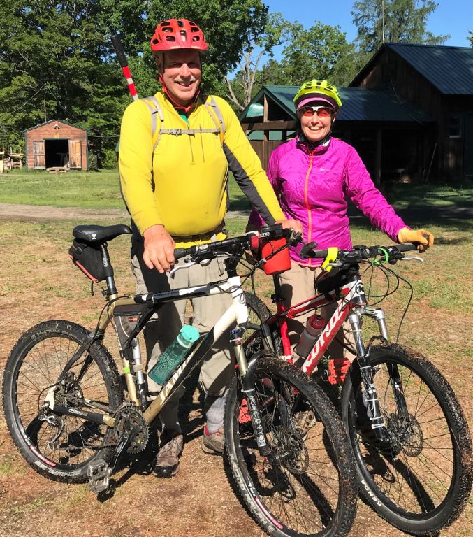
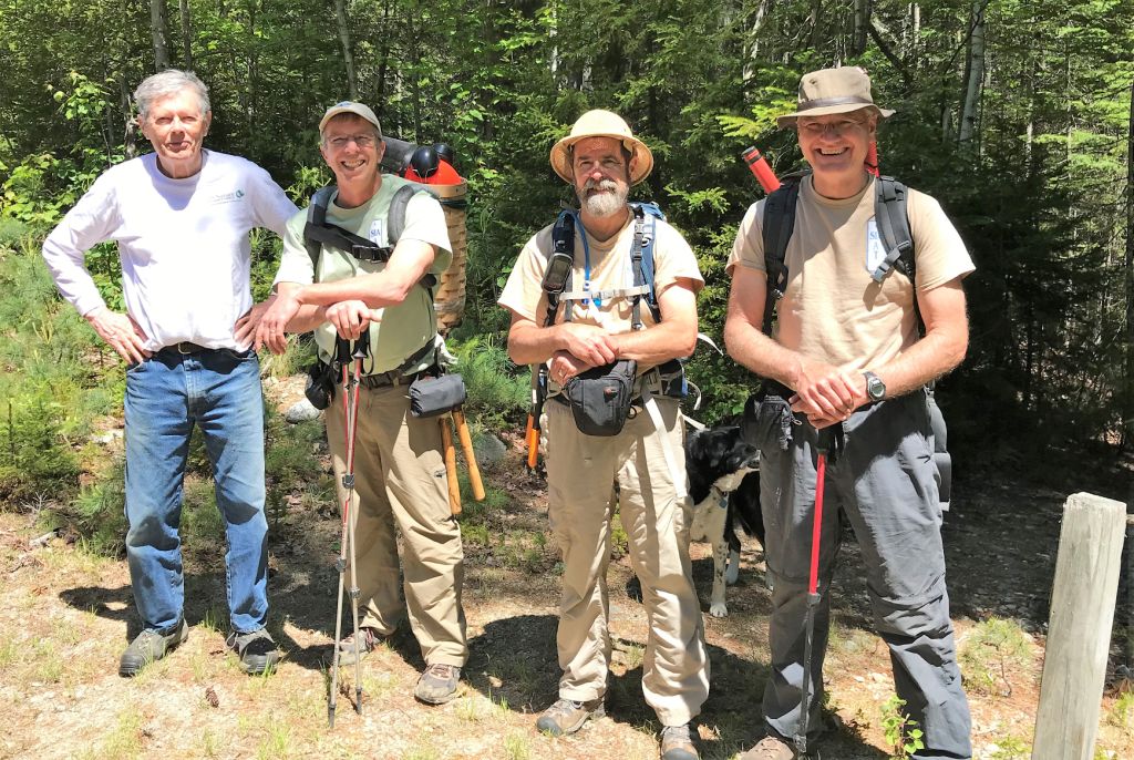
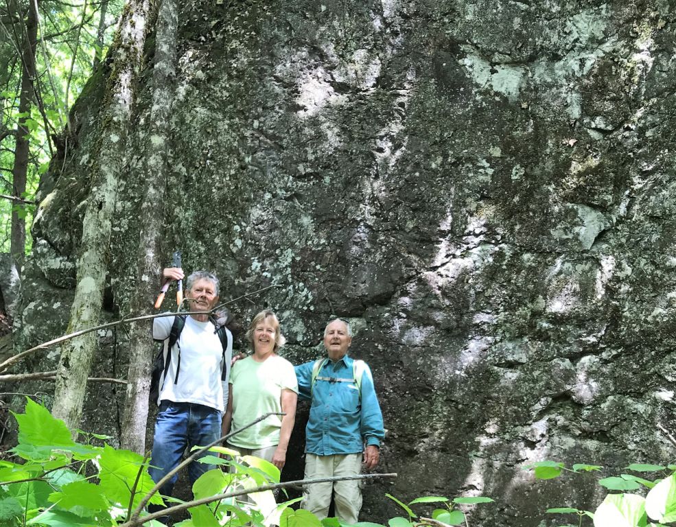
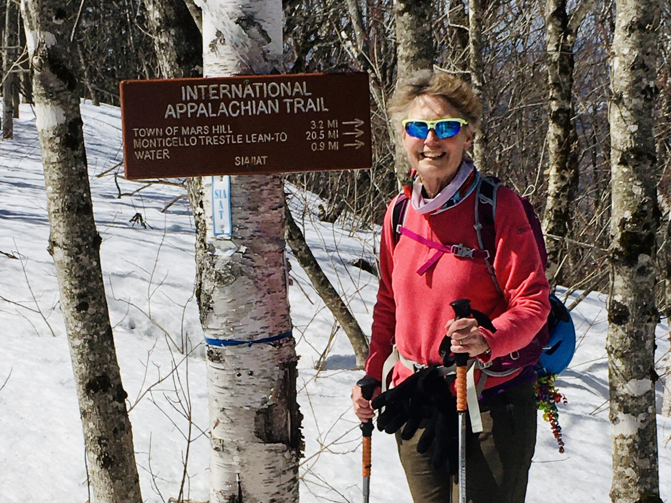
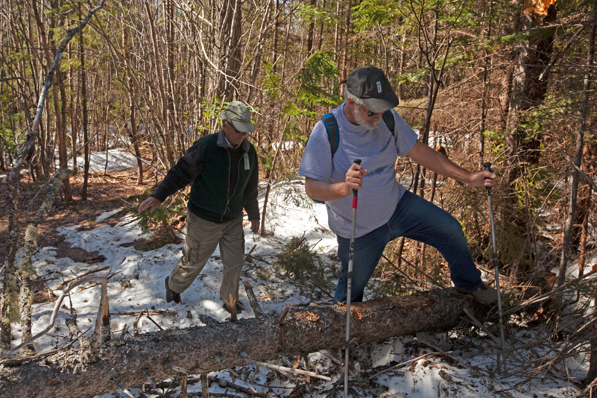
Maine IAT Board Member, Elaine Hendrickson and her husband Eric, have been two of our most enthusiastic and energetic trail supporters for many years. With the postponement of our Annual General Meeting at Shin Pond and only limited access to the IAT in the Katahdin Woods & Waters National Monument, Elaine and Eric have taken advantage of nearby Mars Hill Mountain to get out of the house and enjoy Maine’s spring.

Continue reading

Trail Status Update

The IAT comprises a network of trails that pass through public and private land and crosses a dozen international borders. Whereas the decision to close the Appalachian Trail to long distance hiking, camping and maintenance has been made by the ATC, no single authority can make a comparable decision for the IAT.

Continue reading

Head North Ski Days on the IAT

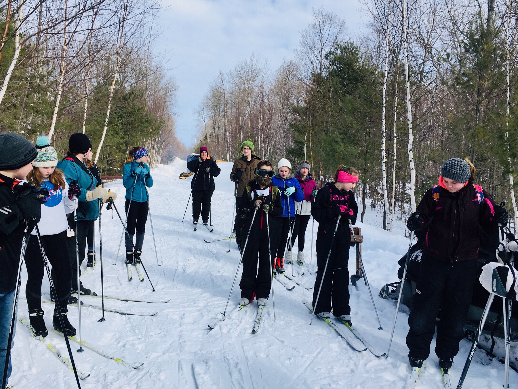
As the winter snows settled over the North Entrance of Katahdin Woods and Waters National Monument and the IAT that crosses the land, not only could birds be heard chirping, but laughter and screams of excited students echoed through the forest.

Continue reading

Sisters on Six Day Winter Adventure

In 2016, I (Ellen Wilcox) solo-hiked the IAT East Branch route in Katahdin Woods and Waters National Monument, and ever since, I’ve wanted to explore the area in winter.  And so, on February 9th, my sister, Karen, and I packed up our sleds and headed out on a six-day winter adventure.  Our goal was to x-country ski and/or snowshoe the IAT route from the North Entrance of Katahdin Woods and Waters to Lunksoos Lean-to, then slackpack to the summits of Lunksoos and Deasey Mountains and return to Bowlin Camps.  As it turned out, Mother Nature had other plans for us.
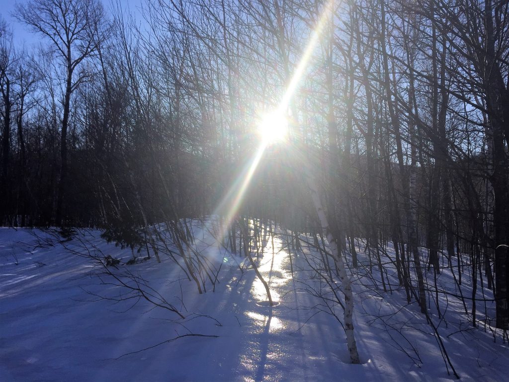
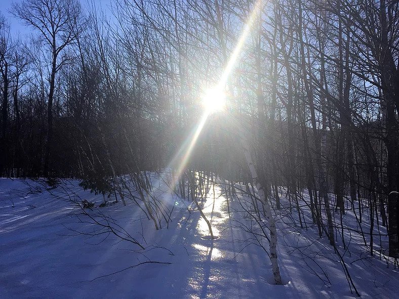
The afternoon sun near Haskell Gate

Day 1 (North Entrance to Haskell Hut):  After parking my car at Bowlin Camps, we headed out — southbound from the North Entrance of Katahdin Woods and Waters — on x-country skis, pulling our camping gear and snowshoes behind us on sleds.  The sun was low over the mountains and the snow was covered in a veneer of ice that shone in the late-afternoon sun.  It didn’t take long for me to realize my skis weren’t going to work on the icy groomed trail so shortly after Haskell Gate, we switched to snowshoes.  After sun set, we traveled quietly, under a dark sky filled with bright stars and a beautiful half-moon. At Haskell Hut, we were greeted by a couple from Bar Harbor who had the fire blazing and hot water on the stove.  We had an enjoyable evening.

Day 2 (Haskell Hut to Bowlin Camps):Another day of sunshine and blue skies! Shortly after Haskell Hut, the groomed trail came to an end, so we switched to snowshoes for the rest of the trek. We stopped to enjoy the view at Haskell Deadwater, then at Haskell Rock Pitch we took the IAT route along the East Branch of the Penobscot River. It was a long, hard day. We zigzagged back and forth across mud-filled streams trickling down the trail, suddenly sunk in deep sinkholes in the snow, and endlessly pulled our sleds over, under, and around downed trees with the x-country skis (which were strapped to the top of our sleds) catching on every branch and tree in our path.
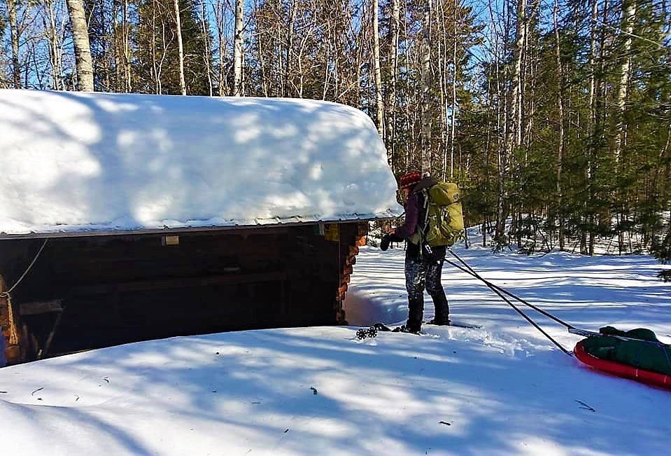
Grand Pitch Lean-to

At lunch time, we crawled down into Grand Pitch Lean-to which had a 4-foot wall of snow in front of it.
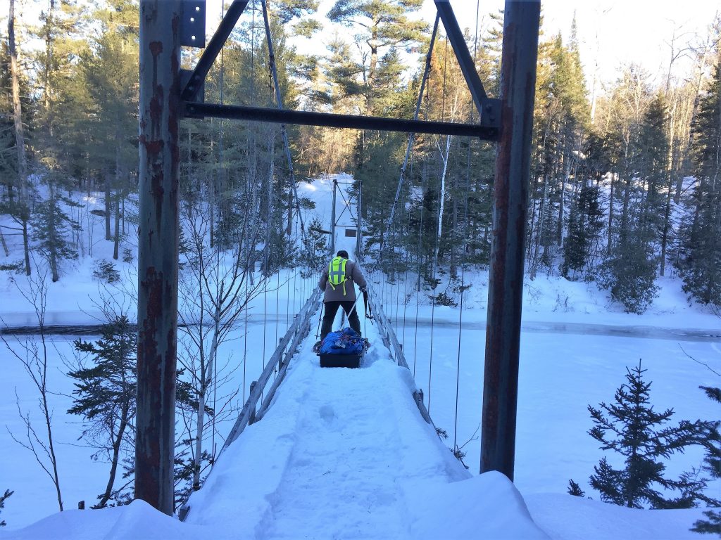
Suspension bridge to Bowlin Camps

Late afternoon, we finally made it to the suspension bridge which would take us to a warm cabin at Bowlin Camps on the other side of the river.However, the snow was to the top of the guardrails which meant our sleds could roll or slide off the side of the bridge and take us with them! Big Sister went first and bravely walked across with her snowshoes on, pulling her sled behind her (I couldn’t watch!).  Then I crawled across on my hands and knees, staring down at the torrential water rushing by below me – twice!  The first time, I dragged my pack and snowshoes across and the second time, I dragged my sled across with Karen’s help.  We enjoyed a relaxing evening at Bowlin Camps – the hosts were fantastic, and our cabin was perfect.  Since my car was parked there, we were able to resupply and get rid of the x-country skis.
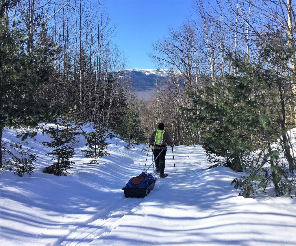
On the trail to Big Spring Book Hut

Day 3 (Bowlin Camps to Big Spring Brook Hut):  It was a beautiful day, but there was a snowstorm in the forecast, so we reluctantly abandoned our plans to snowshoe the IAT route to Lunksoos Lean-to.  Instead, we went to Big Spring Brook Hut which was only four or five miles away.  We had to cross the suspension bridge again but this time, I “boldly” crawled across in one trip.  We broke trail via the K Comp Trail, then at the intersection to Big Spring Brook Hut, we got lucky – the trail was packed down and frozen enough to walk the rest of the way in boots and crampons.  Once again, the ice-covered snow gleamed in the sunshine and views of the mountains were magnificent.  At the hut, we lit a fire, shoveled out the latrine, and settled in.  So much for roughing it!

Day 4 (The Lookout):That morning, the sun was shining so we snowshoed up to The Lookout, a 2,000-foot peak overlooking the mountains in the eastern Katahdin foothills.
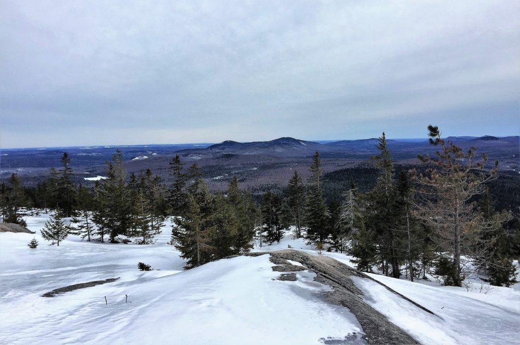
View from the Lookout

As we ascended, dark clouds rolled in and we could see the snow was moving in.  The 180-degree view from The Lookout was truly spectacular!
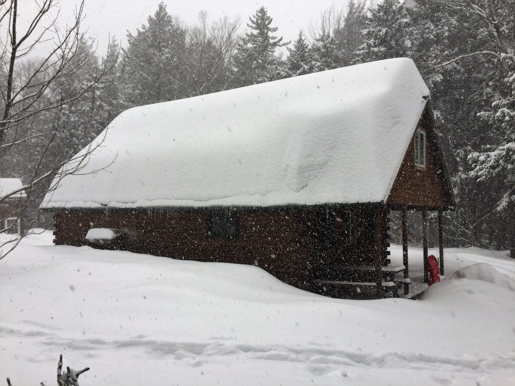
Big Spring Brook Hut

Day 5 (Snow day at Big Spring Brook Hut):  We woke up to snow and it snowed all day.  Karen worked on a jigsaw puzzle and I listened to an audiobook.  At one point, I snowshoed up the trail and attempted to toboggan down the hill on my sled, but the snow was too powdery.  Karen shoveled a path to the latrine while I brought wood in from the shed.  The hush of the falling snow and the solitude of the woods were absolute bliss!
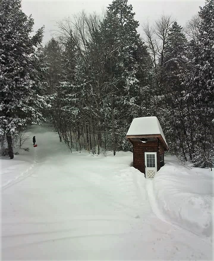
BSB Hut latrine

Day 6 (Big Spring Brook Hut to the North Entrance):  We woke up to blue skies, sunshine, and 17 more inches of fresh, powdery snow.
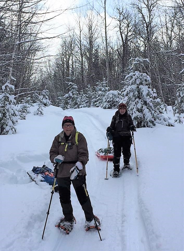
Big snow

Our original plan was to snowshoe back to my car at Bowlin Camps, but the additional snow made the suspension bridge impassable, leaving us no choice but to snowshoe nine miles to Karen’s car at the North Entrance.  We were resigned to breaking trail most of the day and possibly having to camp out overnight.  We’d covered only two miles in three hours when suddenly, a snowmobile came flying over the hill in front of us!  Neither of us heard it coming and the driver didn’t see us, so we quickly dove into the deep snow to get ourselves and our sleds out of the way. Then another snowmobile came flying over the hill!  It was Mark and Susan, the trail groomers.  Thanks to these two amazing trail angels, we were able to snowshoe the rest of the way on groomed trails and didn’t have to camp out overnight.  They even shoveled Karen’s car out for us.  They also told us a group of kids from Camp Chewonki were clearing the IAT route along the river that day.  We didn’t cross paths with them, but we certainly saw the results of their hard work.  Bless them all!
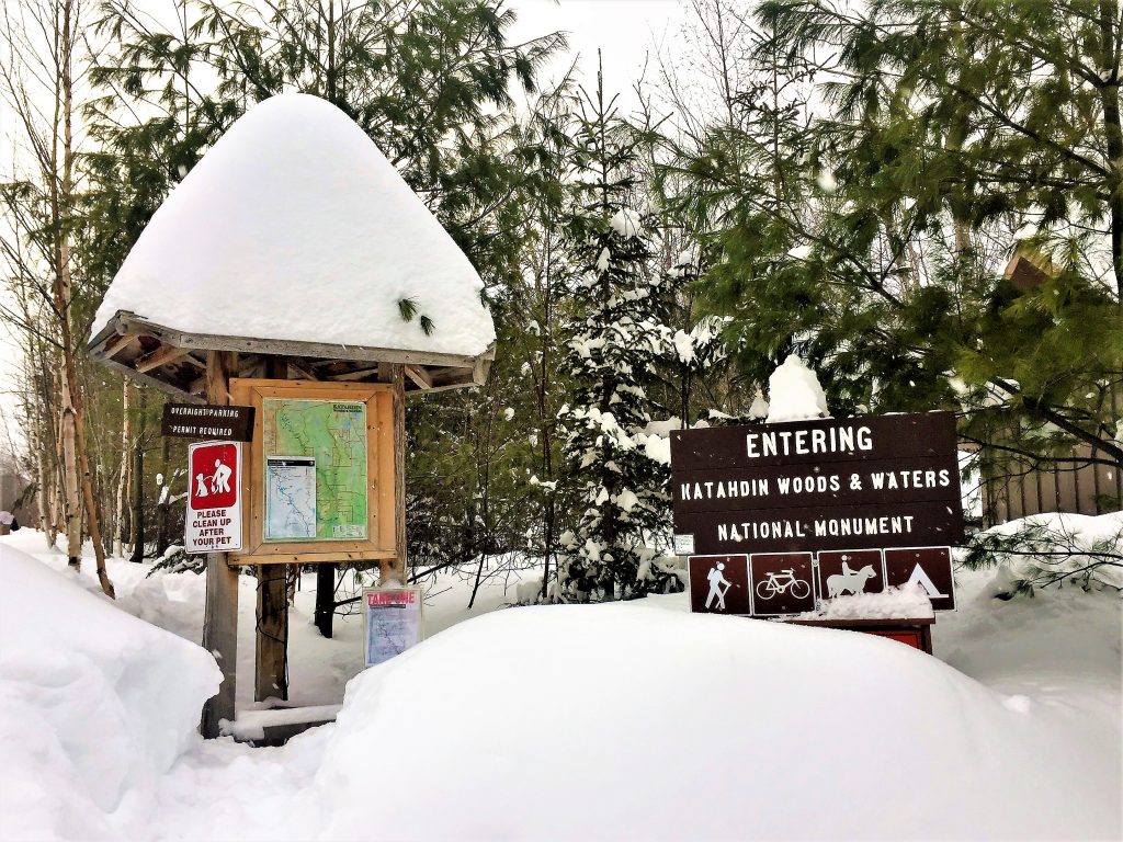
North entrance to KWW

From the North Entrance, we drove to Bowlin Camps and dug my car out.We enjoyed a celebratory supper at Shin Pond Village, then Karen headed home to Augusta, and me to Nova Scotia.I so wanted my sister to see the waterfalls and pitches and had my heart set on summiting Lunksoos and Deasey Mountains in winter, but neither was meant to be.  I guess we’ll just have to come back and try again next winter.

Spring 2018 Trail Work Trip Report
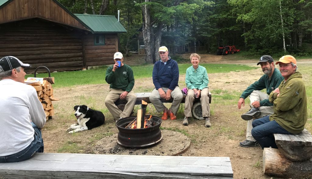
(L-R): Dave, Trip, Kirk, Eric, Elaine, Bill and Don the first night at Bowlin Camps, enjoying a campfire before the rain started.
 
Wednesday, June 13, 2018
 
Kirk and Cheryl St. Peter met Dave Rand, Elaine and Eric Hendrickson, Don Hudson and Bill Duffy (with his trail dog Trip) at Bowlin Camps in the late afternoon, had a wonderful dinner in Bowlin’s dining room and even had blueberry cake with candles in honor of Kirk’s 61st birthday! We had No Aces cabin for the guys (which is very comfortable and now has a refrigerator), Kirk and Cheryl had their old “Coachmen” camper, and Elaine and Eric had their “Adventure Van” for the night.
 
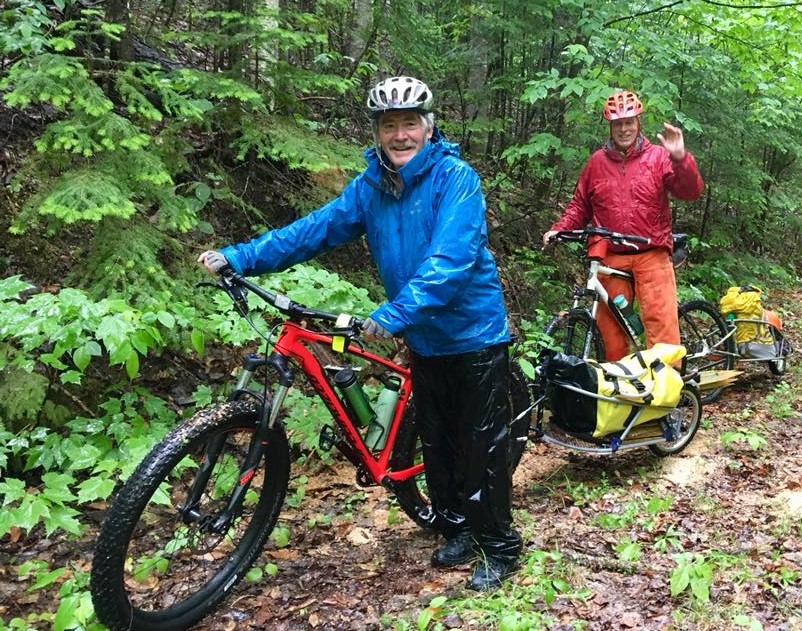
Don and Eric with their bikes and “bobs” on the trail in the rain!
 
Thursday, June 14, 2018
 
It rained during the night and was raining when we started out after one of Kirk’s “artery clogging” breakfasts (as Bill likes to say) and after a tailgate safety meeting. Everyone had also completed all other required National Park Service (NPS) paperwork and packed a bag lunch before heading out. Thanks to Elaine for the great homemade cookies to pack!
 
Susan and Mark Adams had come for breakfast and with their bikes headed south with Eric (who had a chainsaw in his bike “bob”), Elaine, and Don, who had some posts and tools in his bob to replace some knocked over signs heading to Lunksoos lean-to. Due to the continuous rain, ceaseless bugs, and tough conditions (lots of brush in places on the trail and many blowdowns), they did not make it to the lean-to that day, but left the “bobs” on the trail and planned to head back the next day to finish the tough work clearing the trail to Lunksoos lean-to. They had cut about 20 trees with Eric’s chainsaw and cleared another 30 or so with handsaws and loppers.
 
Kirk, Cheryl, Bill and Dave hiked north past Grand Pitch lean-to on foot with Kirk carrying his chainsaw and the others lopping. The northbound crew cleared about 5 blowdowns and some brush and found Grand Pitch lean-to in good condition, but missing a logbook, which should be replaced asap. They came back via the K Comp Road to loop back to the IAT again for a 9.2 mile day.
 
We again enjoyed a wonderful meal in Bowlin’s dining room, then Mark & Susan headed back home, while the rest of us spent a restful night in the cabin or our campers and it finally stopped raining! Thanks go to Mark & Susan for their tireless help on a very cold, wet and buggy day!
 
Eric & Elaine starting from Bowlin on the 2nd day, happy to have no rain.
 
Friday, June 15, 2018
 
After breakfast, making bag lunches again and another tailgate safety meeting, Kirk, Cheryl, Dave and Bill left Bowlin and headed south to Sandbank Stream Campsite in KWWNM to work on the southern section of trail. Don, Eric and Elaine biked south from Bowlin towards Lunksoos lean-to to try to finish clearing that section of trail.
We met Richard Heath at Sandbank and took Kirk’s truck to the Wassataquoik ford. While Kirk, Bill and Richard crossed the ford and cleared the trail (cutting about 6 downed trees) to the intersection with the Ed Werler Trail (leaving Kirk’s chainsaw there), Cheryl and Dave checked the Wassataquoik lean-to and mineralized the area around the fire pit. The logbook was also missing from this lean-to! Cheryl and Dave then drove the loop road to the Barnard Mountain trailhead parking and worked at the Katahdin Brook lean-to (mineralized around the fire pit, lopped brush around the site and up the trail to the privy and photographed log book entries). There were carpenter ants in the roof support logs at the junction with the north wall of the lean-to, which we should deal with during the fall work session.
 
Eric and Elaine arrived at Sandbank 8:45 pm and had a very late supper of Kirk’s burgers, potato salad, baked beans, and cold green bean salad; we had strawberry shortcake for dessert. Don headed home from Bowlin Camps after working all day because his anniversary was the next day! Eric, Elaine and Don had made it to Lunksoos lean-to and had cleared significant brush and some blowdowns in certain sections, plus put up a few more signposts during a very long trail work day. This section could use more brushing for sure during our next work session from Bowlin (next spring?).
 
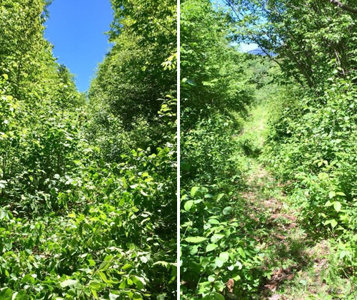
Before and after!
 
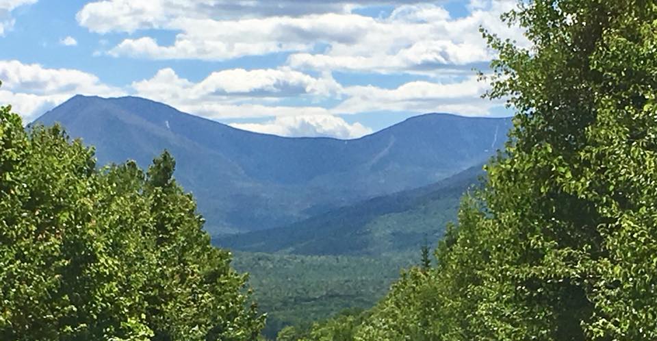
The rewarding view of Katahdin’s Great Basin after finally making it to Lunksoos lean-to and the second hard day of trail work! (Taken by Elaine)
 
Saturday, June 16, 2018
 
After breakfast, making bag lunches and a tailgate safety meeting, Kirk, Bill, Richard, Dave and Earl took Bill’s truck to the Wassataquoik trailhead parking and crossed the ford. Richard used Dave’s big chainsaw to clear a large blowdown just past the beaver dam (aka “Kirk’s Cutoff”) while Dave scythed the grown in areas between the ford and the beaver dam. Kirk and Bill quickly hiked to where they had left the chainsaw at the Ed Werler trail and cleared blowdowns (approximately 10 total) all the way to the Lunksoos lean-to. Bill also cleared the trail of brush in a few places that were severely grown in. After the lean-to, they continued on the IAT, then made a loop by taking what we’ve termed “Dave’s cutoff” down to cross the Wassataquoik where the Orin Falls trail intersects the IAT and continuing back to the trailhead parking (12.3 miles by Bill’s gps track, 11.6 by ours). They made it back to Sandbank at about 6 pm, very tired but also satisfied with the work they completed!
 
(L to R) Dave, Kirk, Bill, Trip (hiding in back), and Richard – the crew at the Wassataquoik ford just arriving for a day’s work from Sandbank Stream Campsite.
 
Eric, Elaine and Cheryl also went to the ford, brought a notebook to leave at the Wassataquoik lean-to, then crossed the Wassataquoik and lopped until they met Earl and the others. Eric and Elaine headed back with Richard (who all had to leave that day) while Cheryl, Dave and Earl continued up to Earl’s erratic, lopping and adding a few tags. Since both Earl and Dave were also leaving that day, all three turned around there and headed back to Sandbank.
 
Kirk, Cheryl, and Bill had lasagna, garlic bread and salad, with brownies for dessert (while Trip only had dry dog food!), then spent a quiet night at Sandbank and headed home early the next morning. Thanks to everyone for their very hard work during this early summer trail work session in KWW!
 
(L to R) Dave, Cheryl and Earl at Earl’s Erratic on the last day of trail work.
 
Notes:
 
The IAT from Wassataquoik ford all the way north of Grand Pitch is now cleared of blowdowns and some areas have been well cleared of brush. However, the trail north of the Fire Warden’s cabin to Lunksoos lean-to requires some significant additional brush clearing, which we will tackle during a fall work session (tentatively planned for October 5 – 7, 2018). Additional IAT tags are also need on the a few sections of trail, particularly between Earl’s Erratic and Ed Werler Trail junction.The logbook needs to be replaced in Grand Pitch lean-to. Carpenter ants in the Katahdin Brook lean-to should be dealt with during the fall work session. There is (still) a rusted and broken eye bolt on the NW corner of the Deasey Fire Cab that needs to be replaced. A small shovel that Bill purchased was left at Lunksoos lean-to for ease of mineralizing around the fire pit. Bill is compiling a list of IAT Mileage signs and directional posts and will submit a list of signs that need to be replaced due to damage and a list of proposed new signs to make trail navigation easier. Work in the northern trail sections that require it (Mars Hill and the border trail) will be scheduled soon for the County contingency.

‘Monumental’ – A Journey through Katahdin Woods and Waters

On August 24th in 2016, 87,563-acres of land in the heart of Maine was designated the Katahdin Woods and Waters National Monument by President Barack Obama. Although met with controversy on all sides, the area had yet been explored on a large scale. In September 2017, a team of four Maine-born photographers set out on a three-part journey through Katahdin Woods and Waters to investigate. The goal? To refocus attention from the debate back onto why the monument was created in the first place: to protect and encourage public access to Maine’s outdoor resources. The short film Monumental showcases the area’s sweeping beauty and undeniable value to outdoor enthusiasts.

Katahdin Woods and Waters comprises miles of serene forest, winding rivers, and exquisite mountain peaks. The vast land is adjacent to Baxter State Park and was donated by the Quimby Family Foundation in addition to funds that would jumpstart its establishment. The location boasts premier hiking, canoeing, mountain biking, camping, hunting, fishing, kayaking, wildlife viewing, and sightseeing.

Fall 2017 Trail Work Trip Report
September 14, 2017
 
Kirk and Cheryl St. Peter met Bill Duffy and Josh Bowe at Sandbank Stream Campsite in Katahdin Woods & Waters National Monument (KWW), reviewed and initialed the appropriate Job Hazard Analysis forms (JHAs) as part of a tailgate safety meeting, and completed other required National Park Service (NPS) paperwork, then headed out to the Wassataquoik ford. While Kirk, Bill & Josh crossed the ford and investigated a possible alternate route to get to Lunksoos Lean-to, Cheryl mineralized the area around the Wassataquoik Lean-to fire pit and photographed the log book entries. She then drove the loop road to the Barnard Mountain trailhead parking and worked at the Katahdin Brook Lean-to (mineralized around the fire pit, lopped brush around the site and up the trail to the privy and photographed log book entries).
 
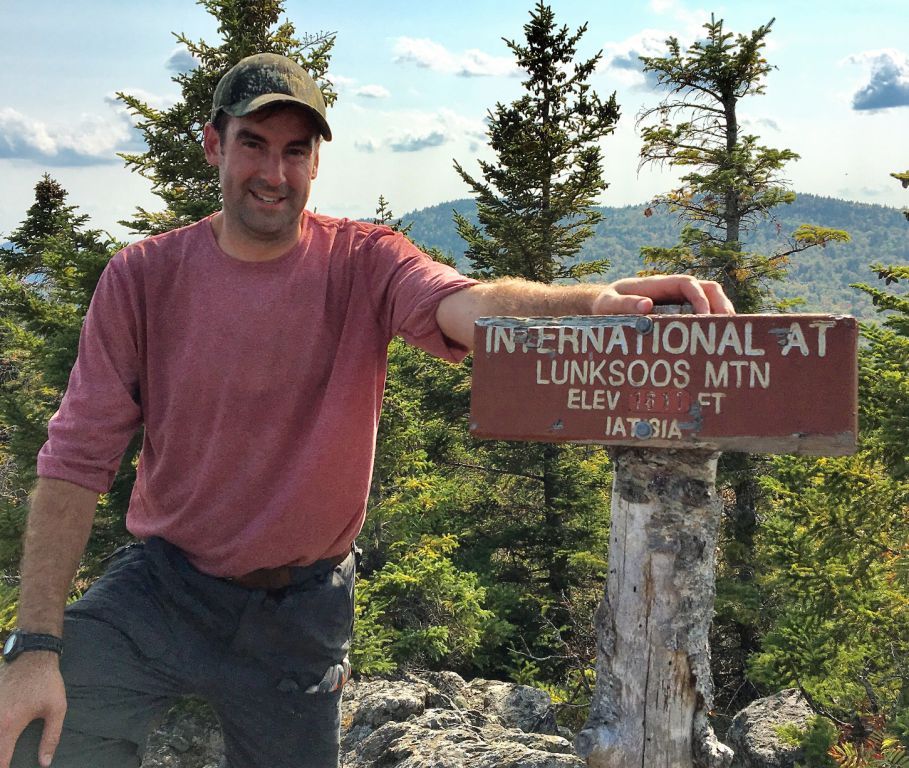
Maine IAT Board Member, Josh Bowe on Lunksoos Summit for the first time!
 
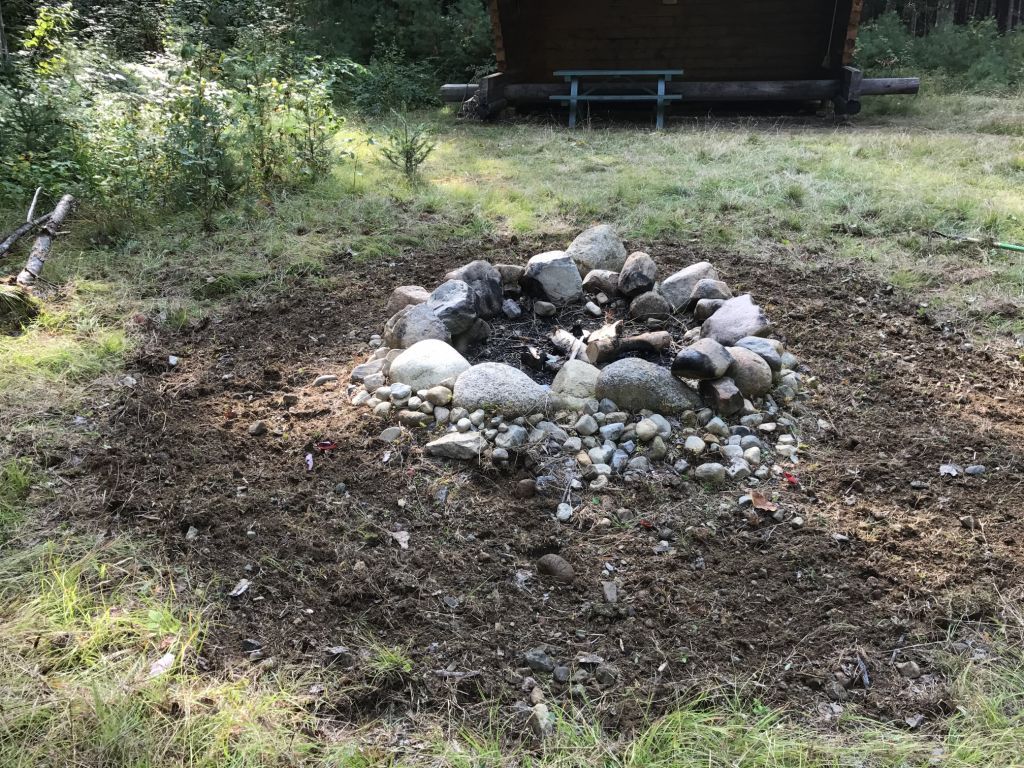
No one’s favorite task – mineralizing around the fire ring!
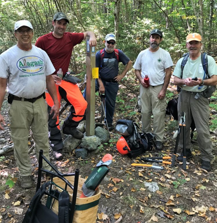
(L-R) Kirk St. Peter, Josh Bowe, Cliff Young, Bill Duffy, and Don Hudson at the junction of the old Keep Trail and the IAT
 
After returning to Sandbank, it was determined that the alternate route explored today was not feasible and that we would all cross the ford tomorrow and clear the trail at least up to the old Fire Warden’s Cabin, leaving a chainsaw at the cabin for work on Saturday. Don Hudson and Cliff Young arrived to help with the work tomorrow.
 
September 15, 2017
 
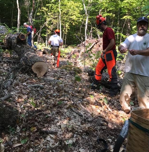
After reviewing the appropriate JHAs during a tailgate safety meeting and signing/initialing NPS forms, all six workers (Kirk, Cheryl, Bill, Don, Josh, and Cliff) drove to the Wassataquoik trailhead parking, crossed the ford and cleared trail north to the Fire Warden’s Cabin, with Kirk and Josh leapfrogging each other and using chainsaws to clear the multiple blowdowns. Everyone else used loppers and/or handsaws to clear brush; a few tags were added. We stopped at the cabin for lunch and left the smaller chainsaw there for work tomorrow. A few older trees that could be stepped over were left due to the time.
 
After returning to Sandbank, we determined that Bill and Cliff would investigate an alternate route to Lunksoos Lean-to tomorrow by crossing the Wassataquoik where the IAT diverges from the trail to Orin Falls and then heading straight up past the east side of a pond to old logging roads, flagging the route if it appeared useable. Kirk and Josh would go the other way, following the IAT, while clearing blowdowns from the Fire Warden’s Cabin north. Cheryl and Richard Heath, who arrived that evening, would wait for Tom and Naomi Lynch (arriving in the morning) and do some additional work on the trail with loppers at least to the Fire Warden’s Cabin.
 
September 16, 2017
 
Kirk and Josh followed the IAT to the Fire Warden’s Cabin, where they picked up the chainsaw and cleared approximately a dozen blowdowns from there all the way north to Lunksoos Lean-to. Between the summit of Lunksoos and the lean-to, they met Bill and Cliff going the other way (they had stopped at the lean-to and mineralized around the fire pit). Kirk and Josh continued, following the alternate loop route that Bill and Cliff had flagged with orange flagging back to the Wassataquoik (potential trail name “Dave’s Cutoff” recommended by Earl Raymond due to his and Dave’s exploration of this route and all of Dave’s hard work on the trails). Bill and Cliff continued south on the IAT back to the trailhead. Cheryl, Richard, Tom and Naomi moved some posts with tags at the beaver dam crossing, then brushed the trail towards the Fire Warden’s Cabin. Since Naomi did not feel well, she and Tom turned back at the lookout and Cheryl and Richard continued to the cabin. Cheryl waited for Richard there as he continued to Deasey’s summit with loppers.
 
Cliff clears while Kirk and Josh cut and Bill “supervises”.
 
Notes:
 
The IAT from Wass. ford to Deasey’s Summit is in excellent condition, with a developing treadway and it is mostly clear of brush, with sufficient tags for a novice to follow. There are a few old blowdowns that can be stepped over. There are also two very active ground hornet’s nests: one along the Wass. north of the beaver dam crossing and one near the lookout.We left a post with tags at the first “beaver dam” post, which should be taken up to another turn where we determined that a post would be useful. There is a rusted and broken eye bolt on the NW corner of the Deasey Fire Cab that needs to be replaced. The IAT from Deasey’s Summit to Lunksoos Lean-to is free of blowdowns, but could definitely use significant additional brush clearing. A small shovel could be left at Lunksoos Lean-to for ease of mineralizing the fire pit. There is an approximately 11½ mile route that could be developed as a useable loop trail from the Wassataquoik trailhead following the IAT to Lunksoos Lean-to, continuing on an old logging road and an older trail (that would require additional investigation and clearing) to cross the Wassataquoik at the junction of the IAT and the Orin Falls trail, back to the trailhead.This route also allows for trail workers to continue working over Deasey and Lunksoos to the lean-to with an easier downhill route back.

Barnard Mountain Hike 2017
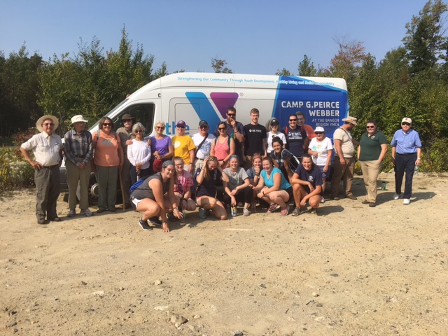
On Saturday September 16, 2017 EPI (Elliotsville Plantation, Inc) sponsored a hike along the IAT (International Appalachian Trail) to Barnard Mountain overlook. The group met at Sand Bank Campground and then travelled to the parking area on the IAT where the hike would begin.
 
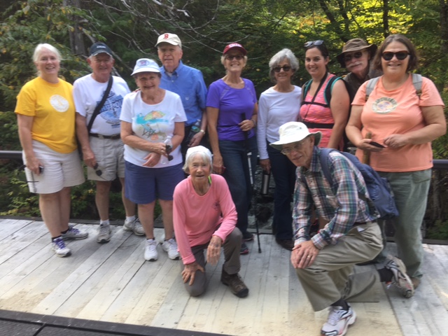
There were twenty people who had travelled in two busses from the Bangor “Y” thanks to a National Park Foundation Transportation grant they have used for multiple excursions to the Monument over the past year. The older ten were members of a group called “second wind” and were guided by Maureen. The younger student group of ten had their own guides.
 
After a short introduction to the group about the KWWNM (Katahdin Woods and Waters) area, and the IAT that they were about to follow, both groups started for the overlook on Barnard Mountain.
 
The younger group headed directly up the IAT Trail and on to the summit while the older hikers proceed at their own pace, some of them reaching the summit. The students spent time enjoying the view from the summit and the surrounding area. They had another information session about the history of the area and the view they were seeing to the west of Katahdin Lake and Katahdin.
 
On the way back some of the group met two young IAT through hikers who were following the IAT into Canada and on to Gaspe, Quebec. Their trail names were SCALLYWAG & GIGGLES and they had hiked the 2000 plus mile Appalachian Trail from Georgia to Katahdin after starting in Pensacola, FL in March of this year.
It was a beautiful Maine September afternoon and a successful adventure after which both groups attended the camp fire and star viewing.