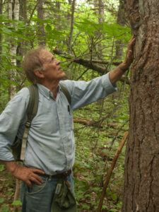
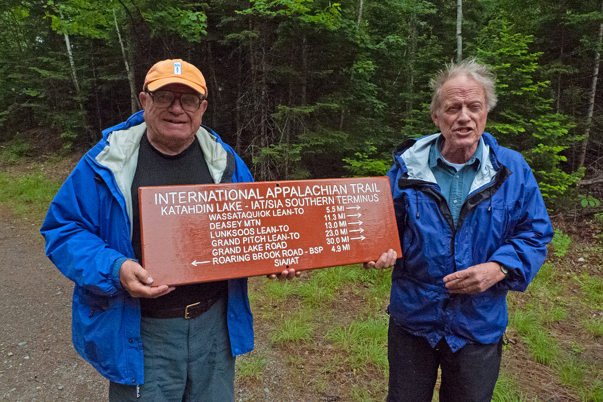
In Memory of our friend Walter Anderson
Continue reading
In Memory of our friend Walter Anderson
Continue reading


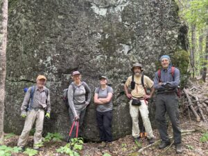
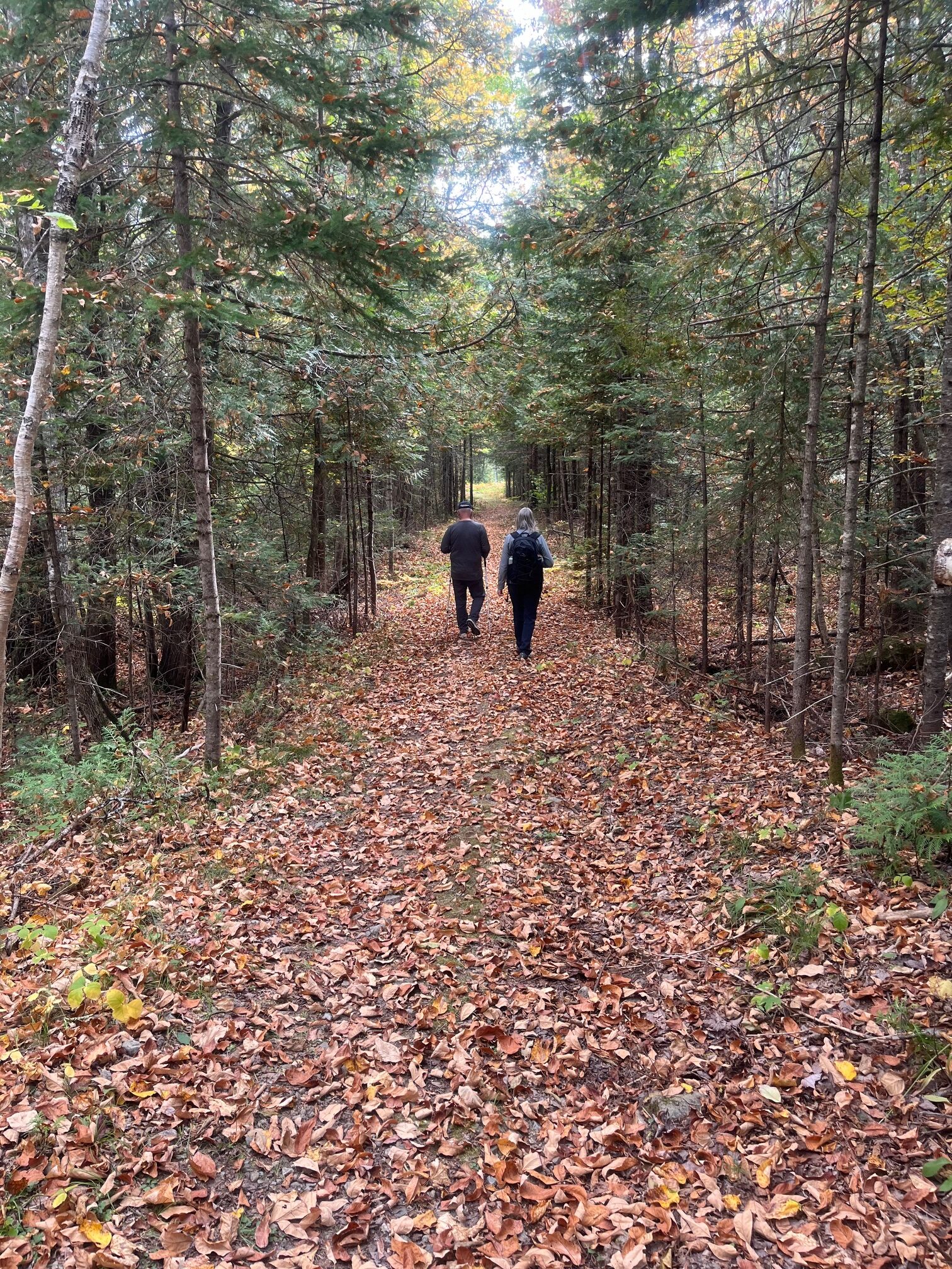
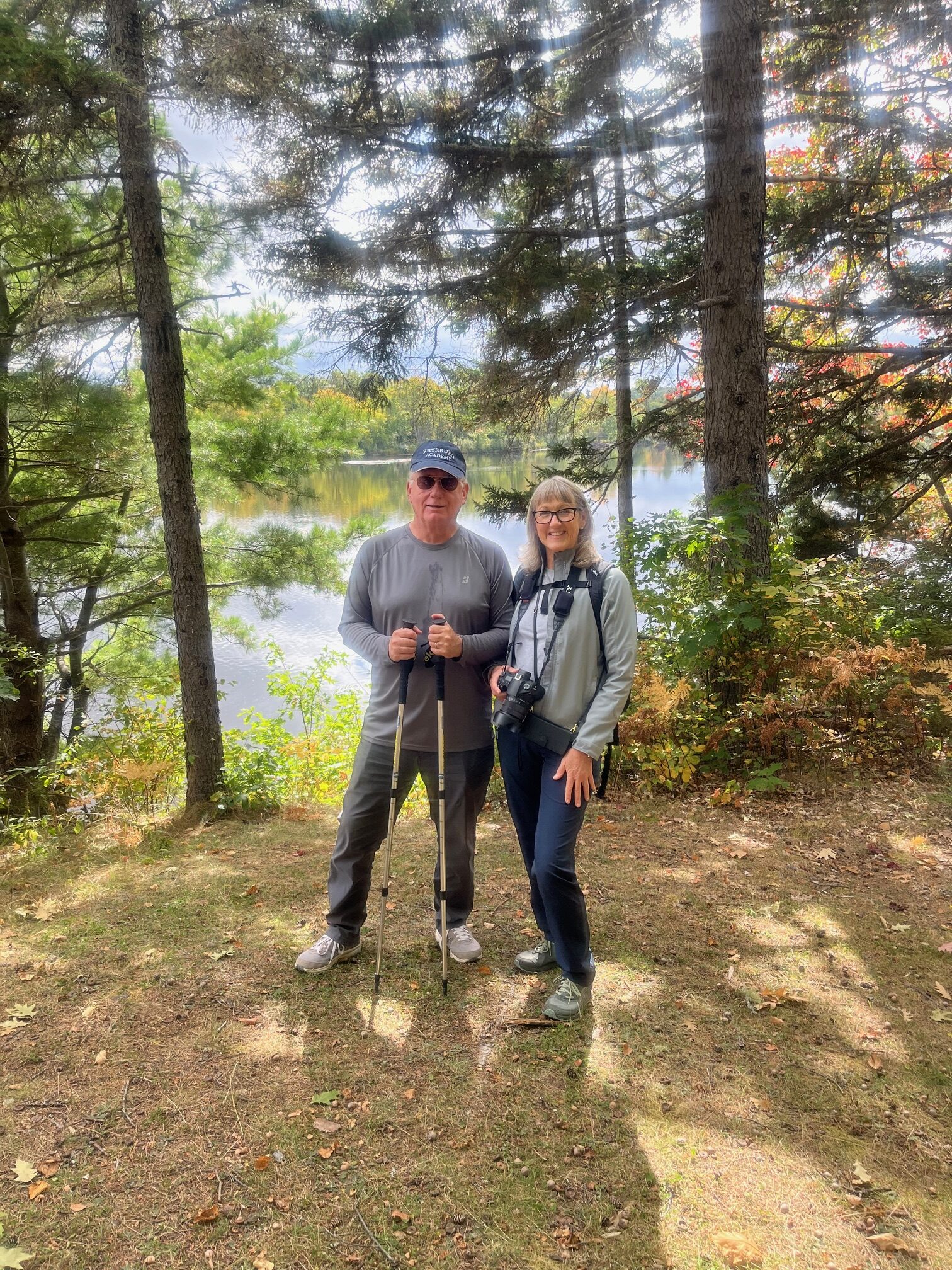
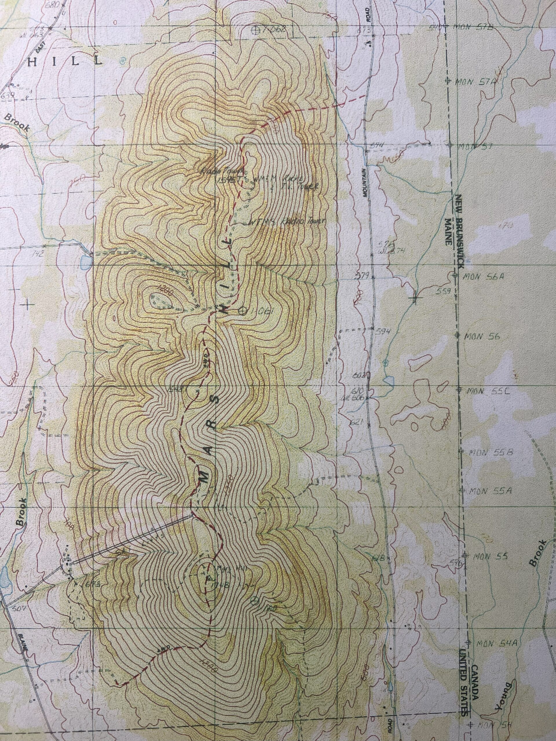
![Jas, Sophie, Bill, and Julia learning about how the map would have been used to locate fires (thank you, Bill, for the lesson!)]](https://www.maineiat.org/wp-content/uploads/2025/06/Photo-6-scaled.jpg)
![Jas, Sophie, Bill, and Julia learning about how the map would have been used to locate fires (thank you, Bill, for the lesson!)]](https://www.maineiat.org/wp-content/uploads/2025/06/Photo-5-1-scaled.jpg)
![The dinner table we returned to after a long day. Again, thank you, Nancy!]](https://www.maineiat.org/wp-content/uploads/elementor/thumbs/Photo-7-scaled-r7jklrevjwmdd1txwidaf2q62jdkzk7jiytzng97f4.jpg "The dinner table we returned to after a long day. Again, thank you, Nancy!]")

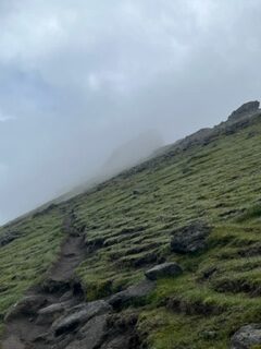
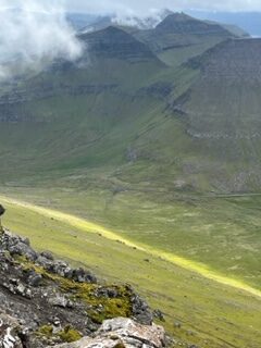
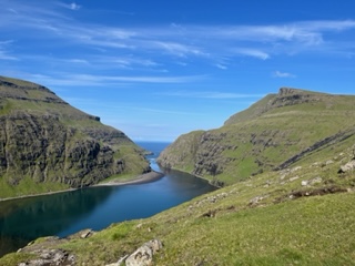
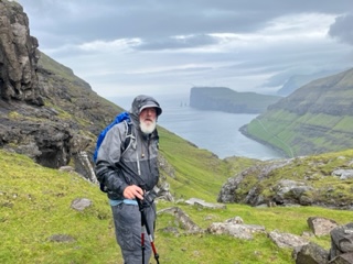
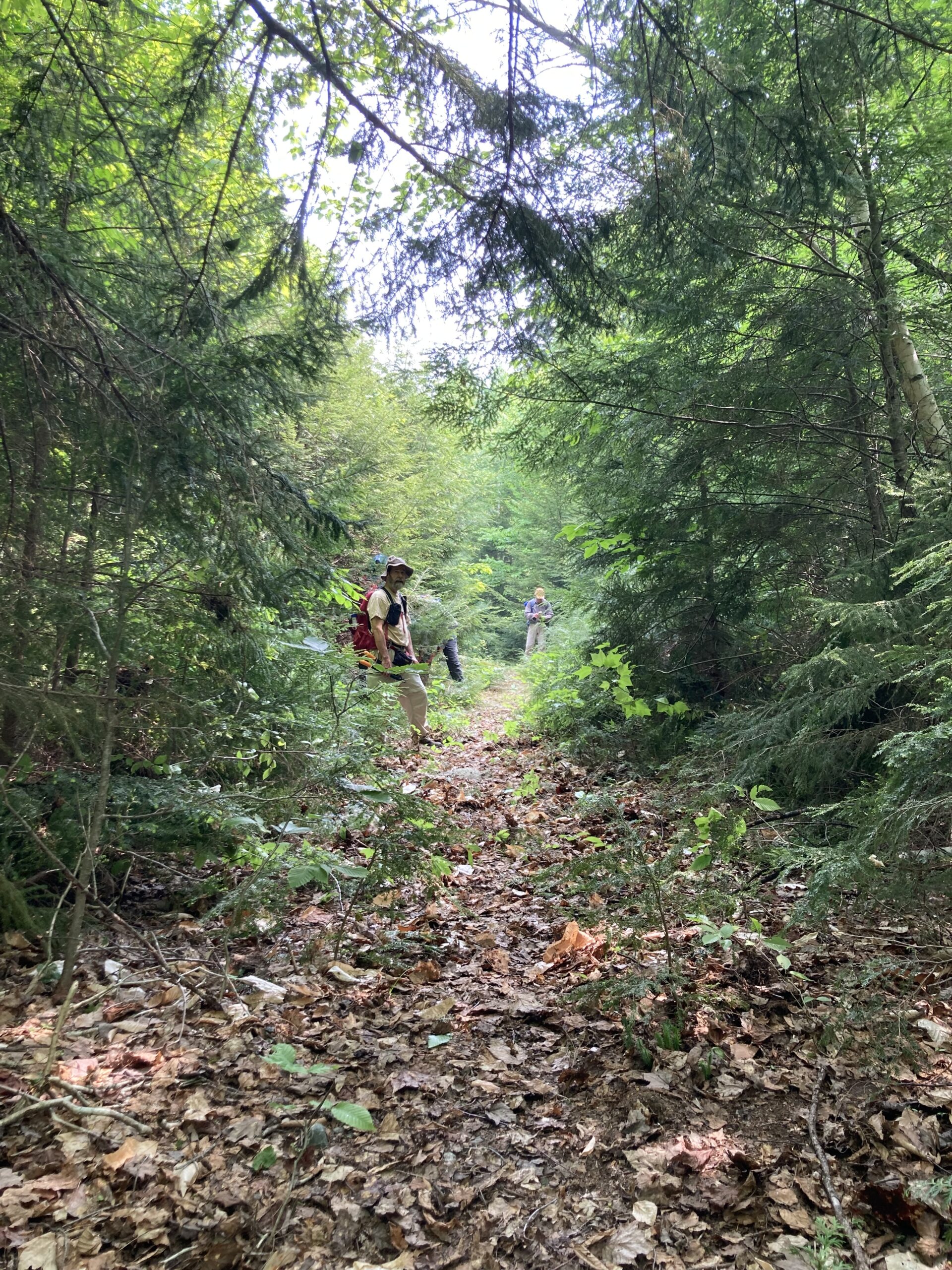
In response to rising interest and trail use, the Maine section of the International Appalachian Trail (IAT) has become much more hiker-friendly following a significant upgrade on the mobile navigation platform “FarOut Guides” in 2025.
Continue reading
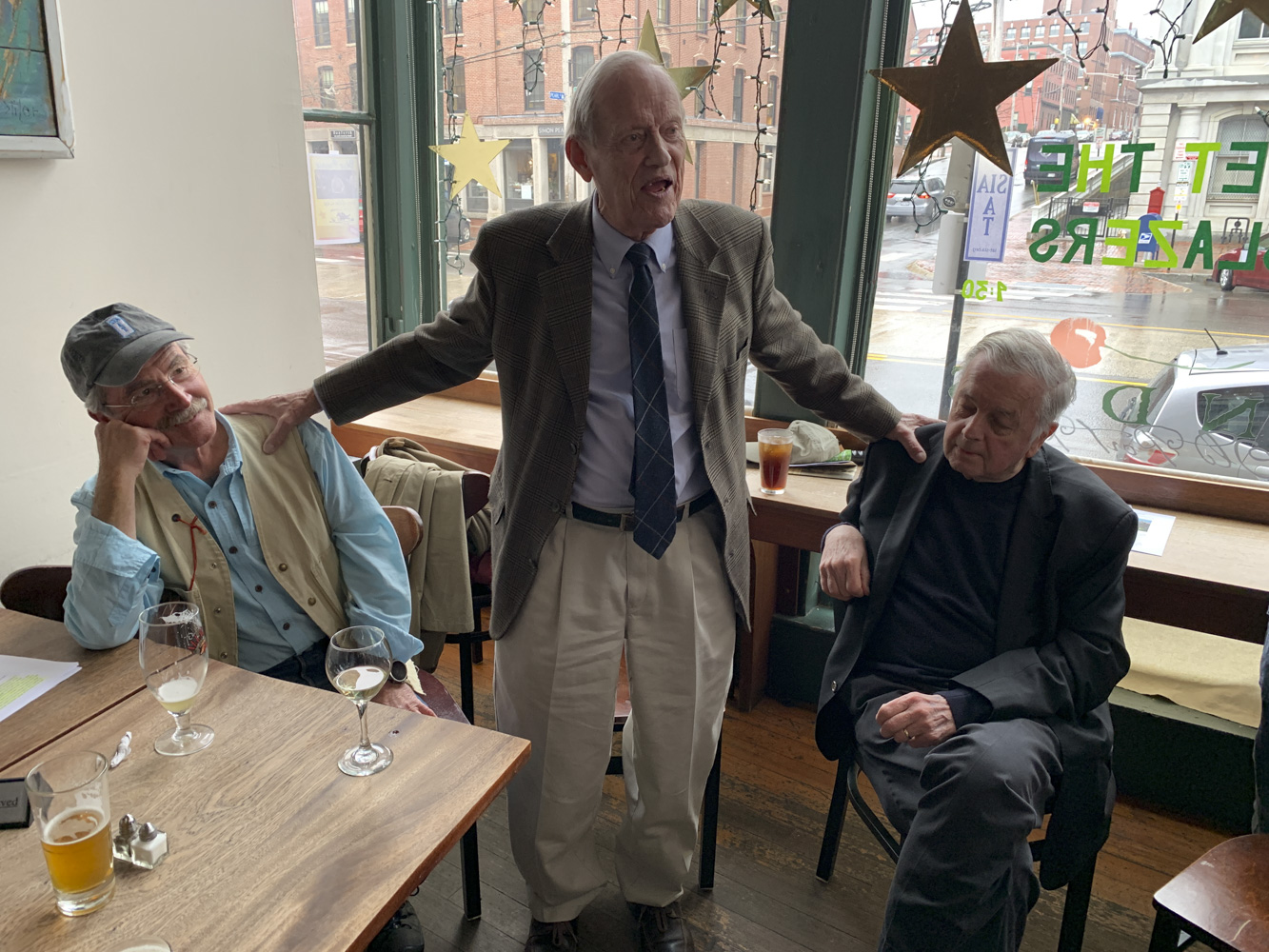


In Memoriam of our friend Earl Raymond
Continue reading