


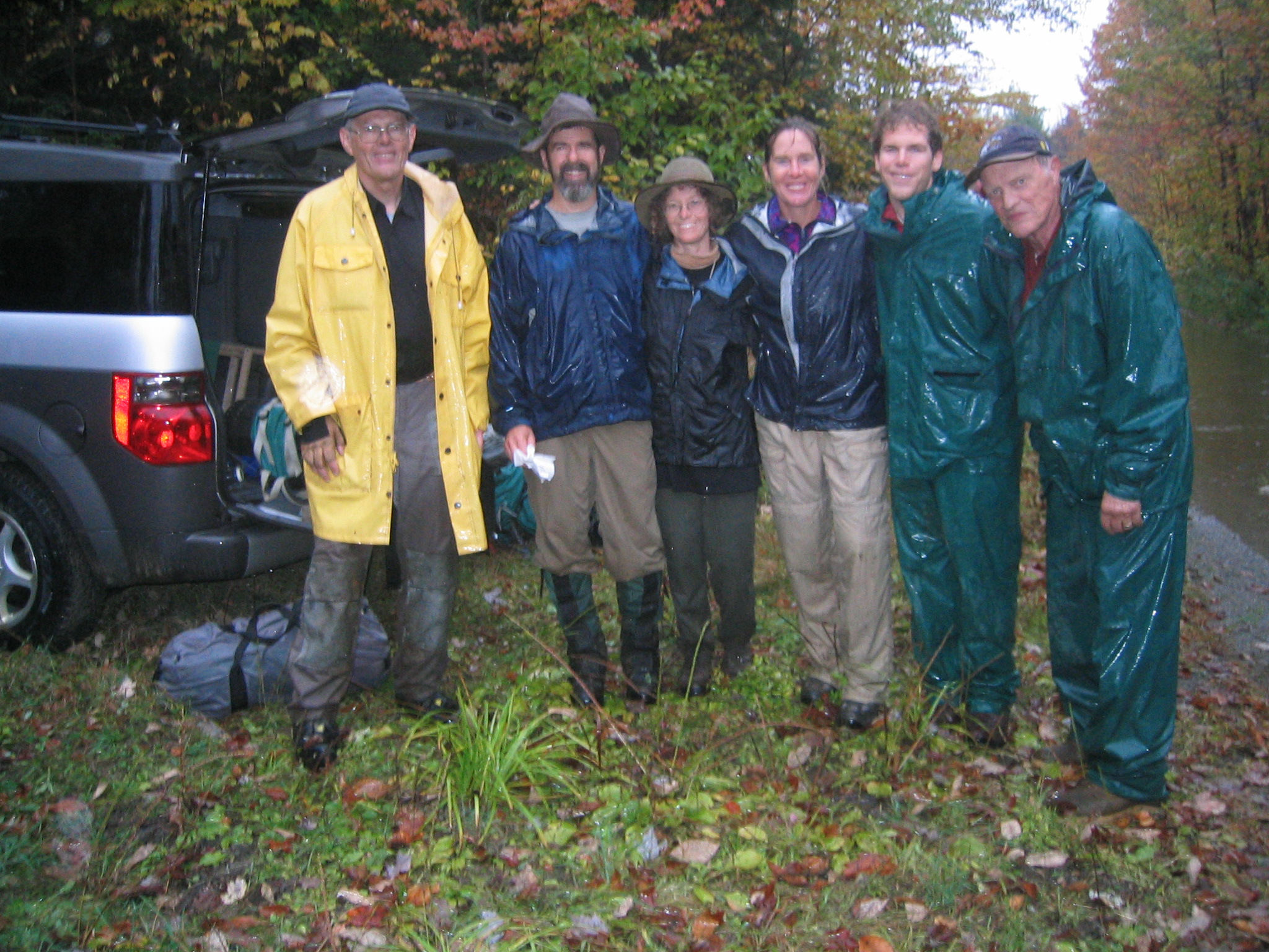
![Jas, Sophie, Bill, and Julia learning about how the map would have been used to locate fires (thank you, Bill, for the lesson!)]](https://www.maineiat.org/wp-content/uploads/2025/06/Photo-6-scaled.jpg)
![Jas, Sophie, Bill, and Julia learning about how the map would have been used to locate fires (thank you, Bill, for the lesson!)]](https://www.maineiat.org/wp-content/uploads/2025/06/Photo-5-1-scaled.jpg)
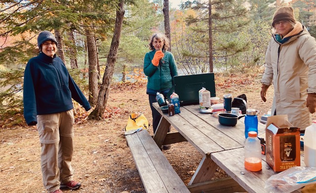
![The dinner table we returned to after a long day. Again, thank you, Nancy!]](https://www.maineiat.org/wp-content/uploads/elementor/thumbs/Photo-7-scaled-r7jklrevjwmdd1txwidaf2q62jdkzk7jiytzng97f4.jpg "The dinner table we returned to after a long day. Again, thank you, Nancy!]")


The Maine Chapter of the International Appalachian Trail will hold its 30th Annual Gathering on May 18th, 2024
Continue reading
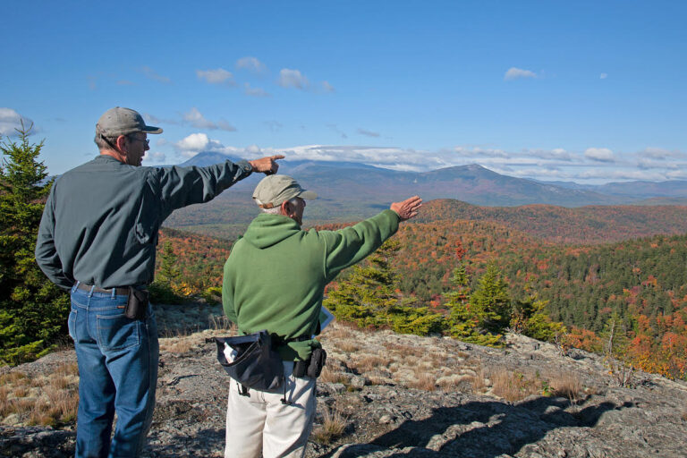
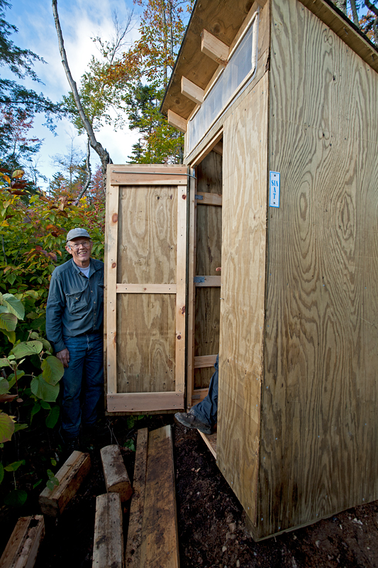
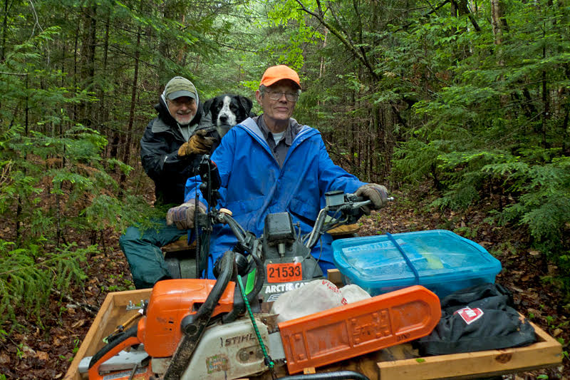
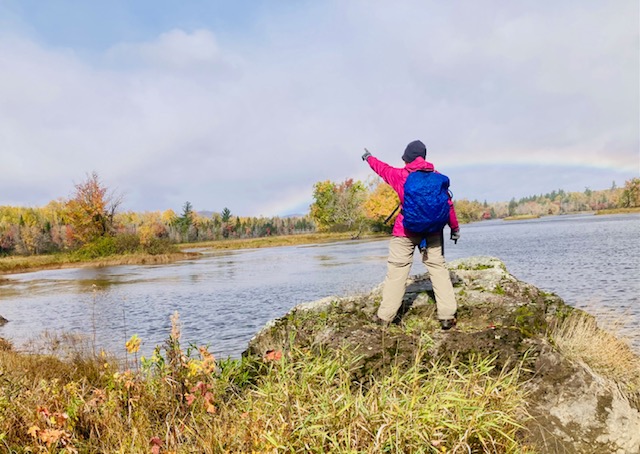
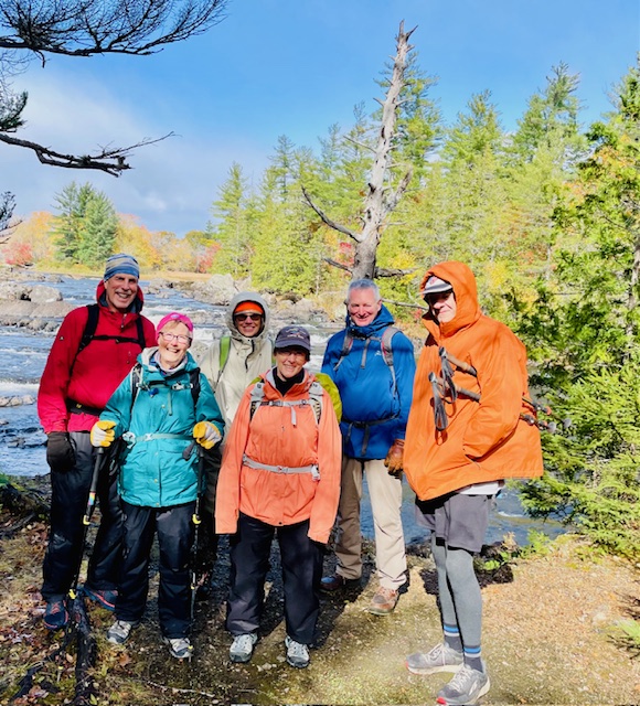
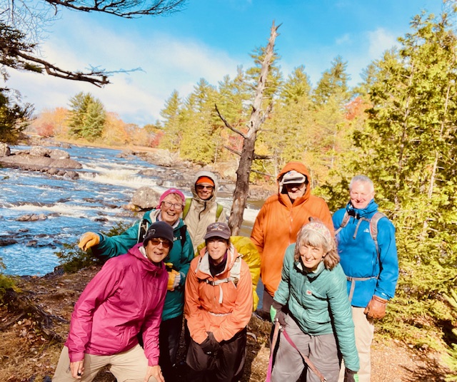
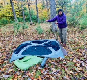
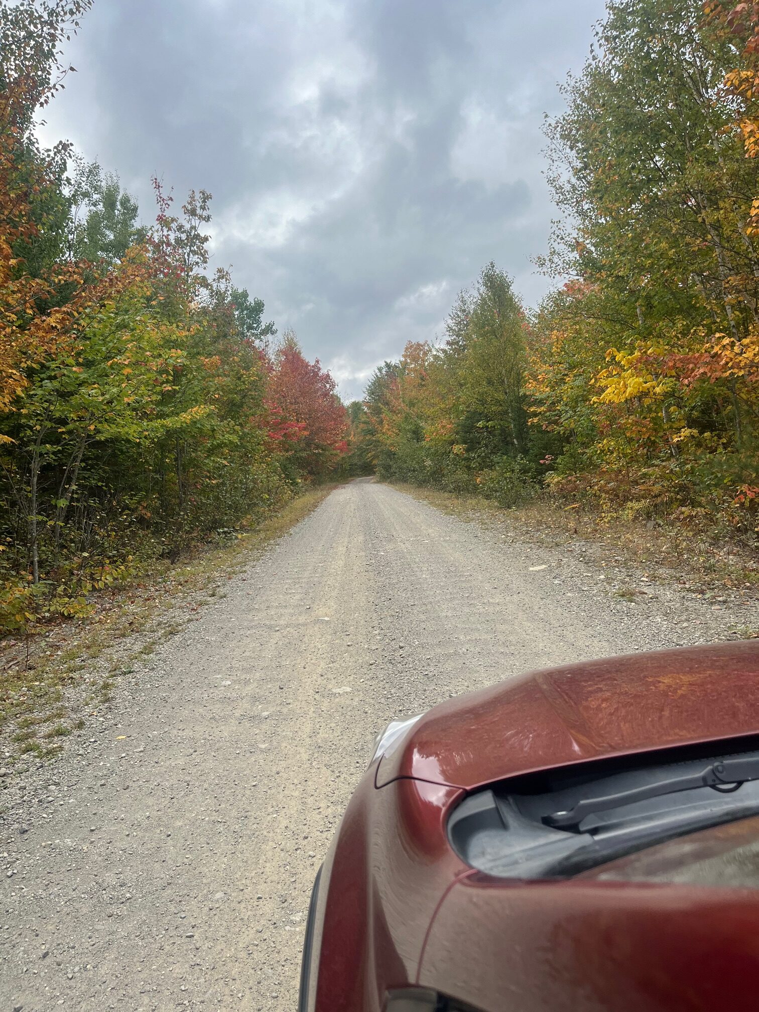
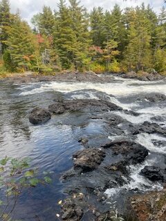
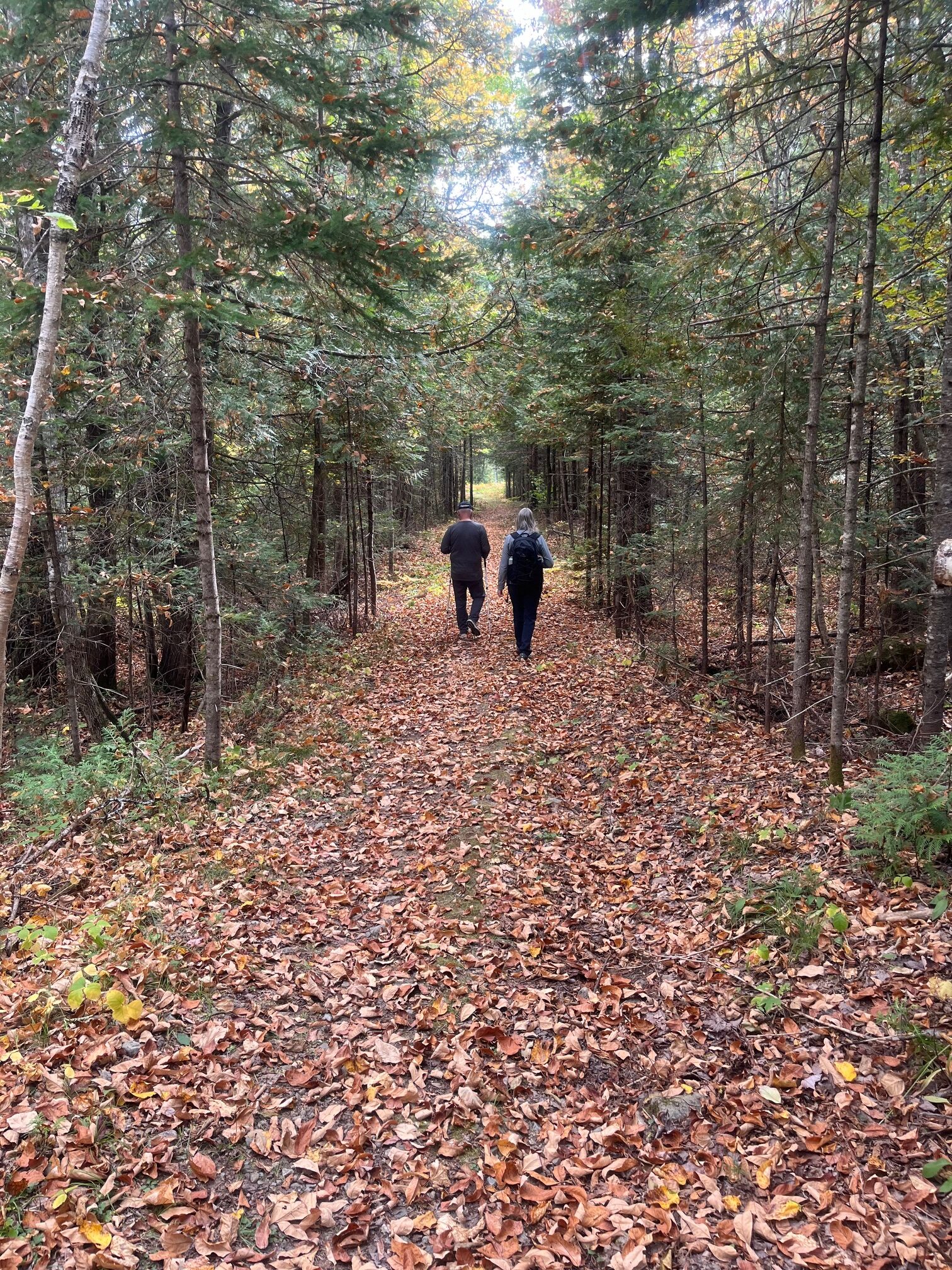
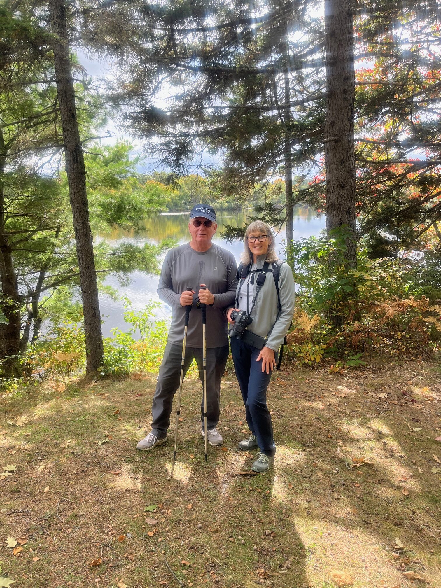
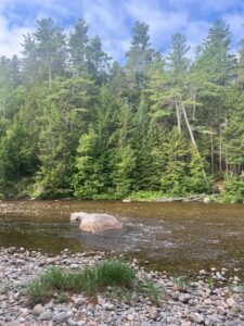
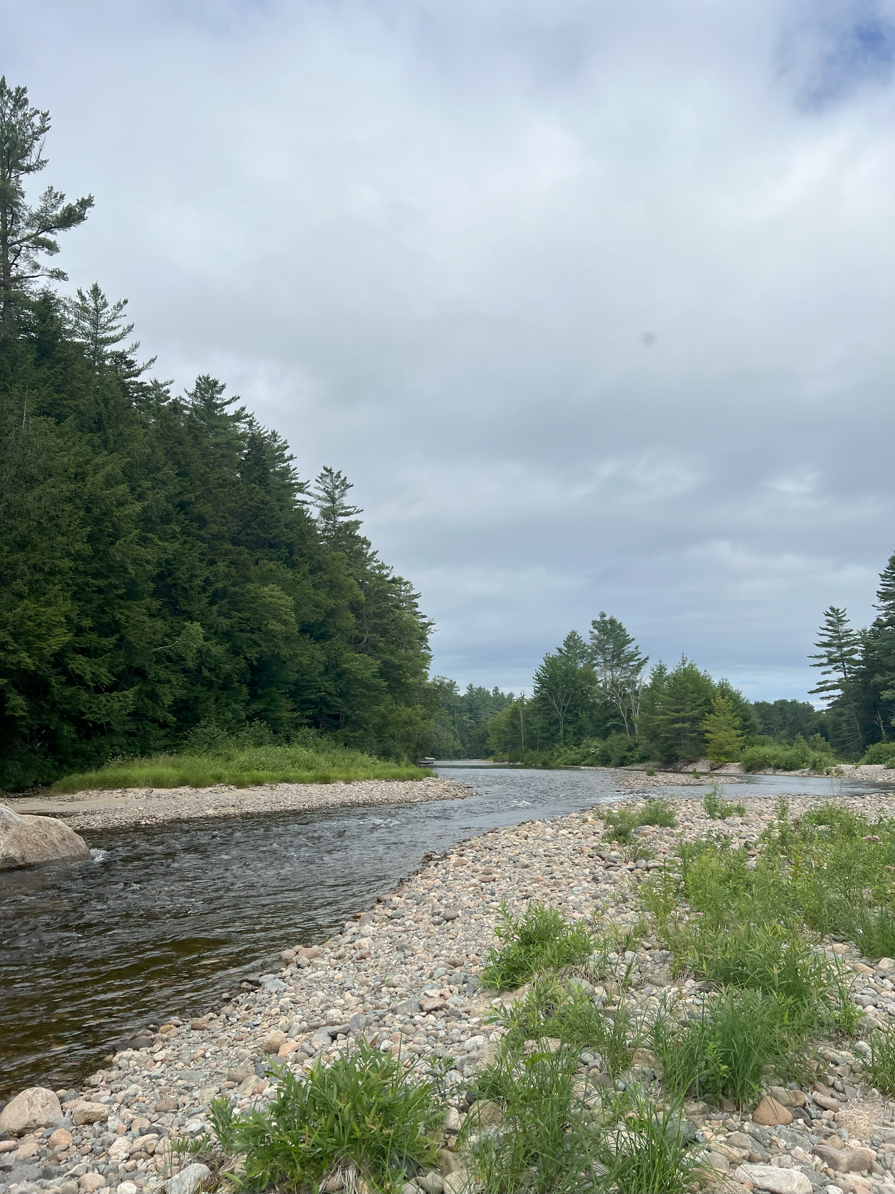
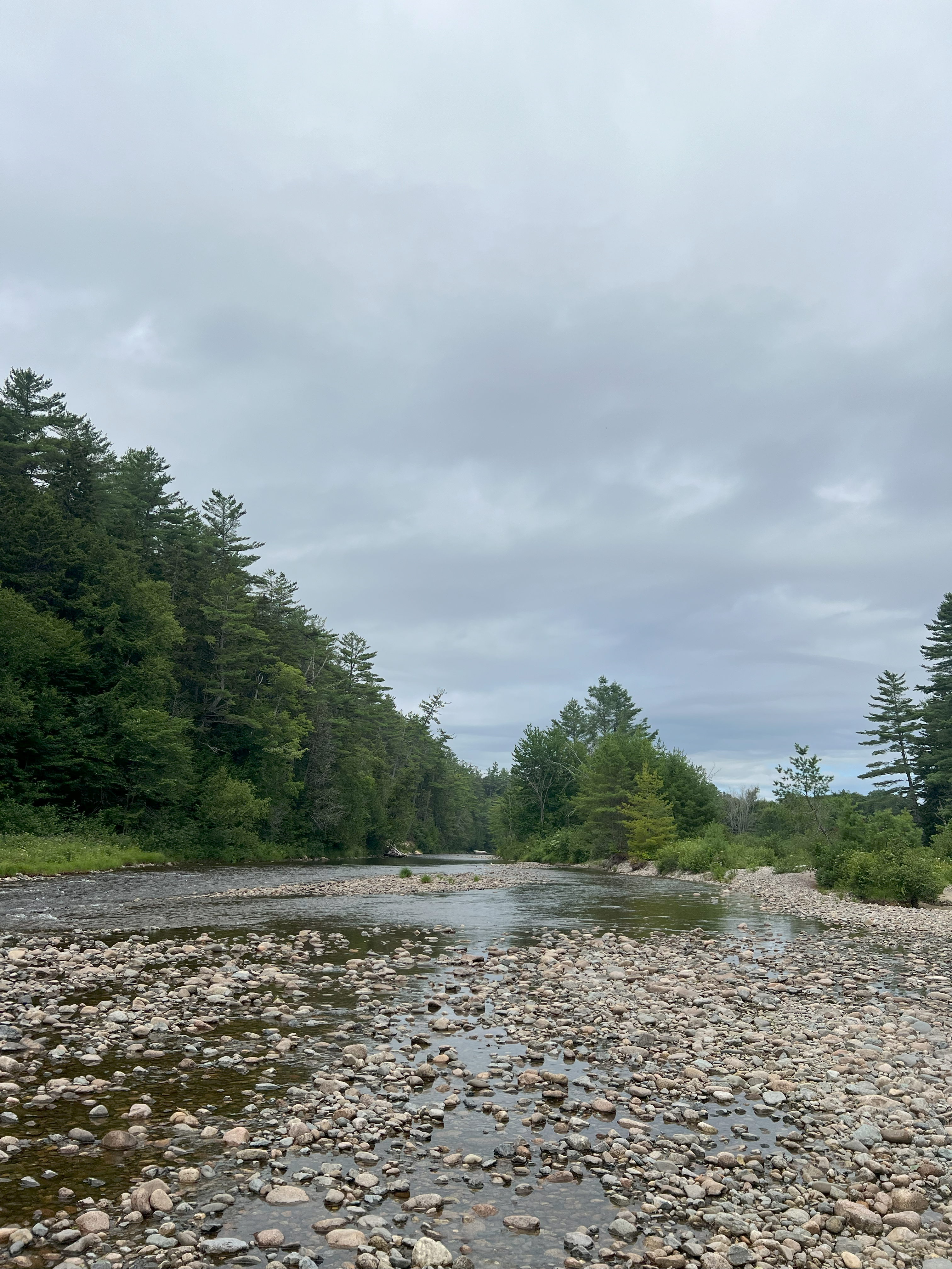
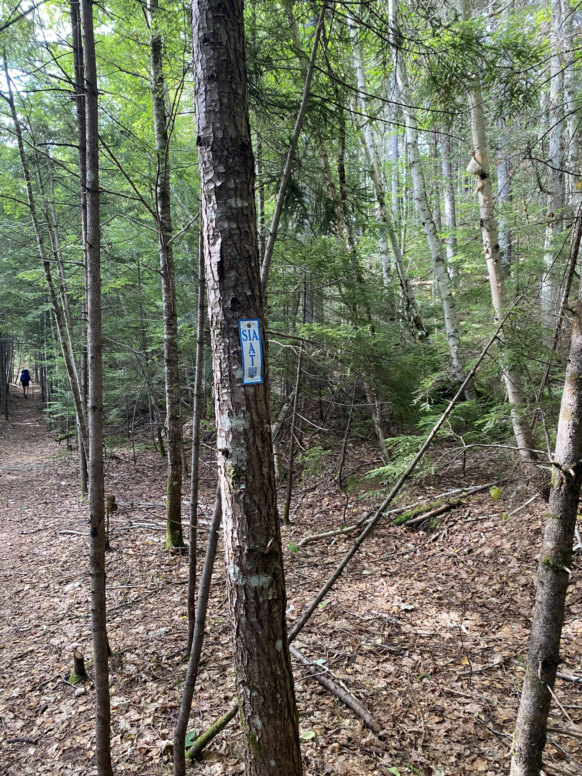
A trip report from the Katahdin Woods & Waters Weekend Hiking and Camping Trip
Continue reading
A trip report from the Family Nature Journaling Hike on June 24, 2023
Continue reading
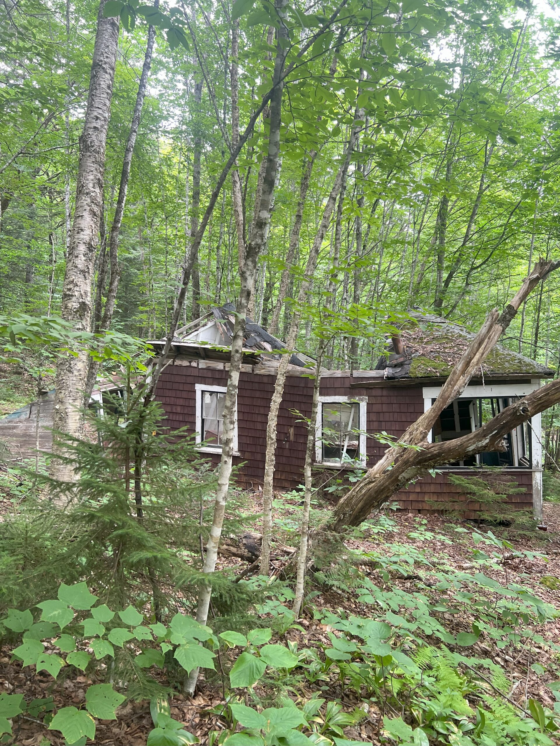
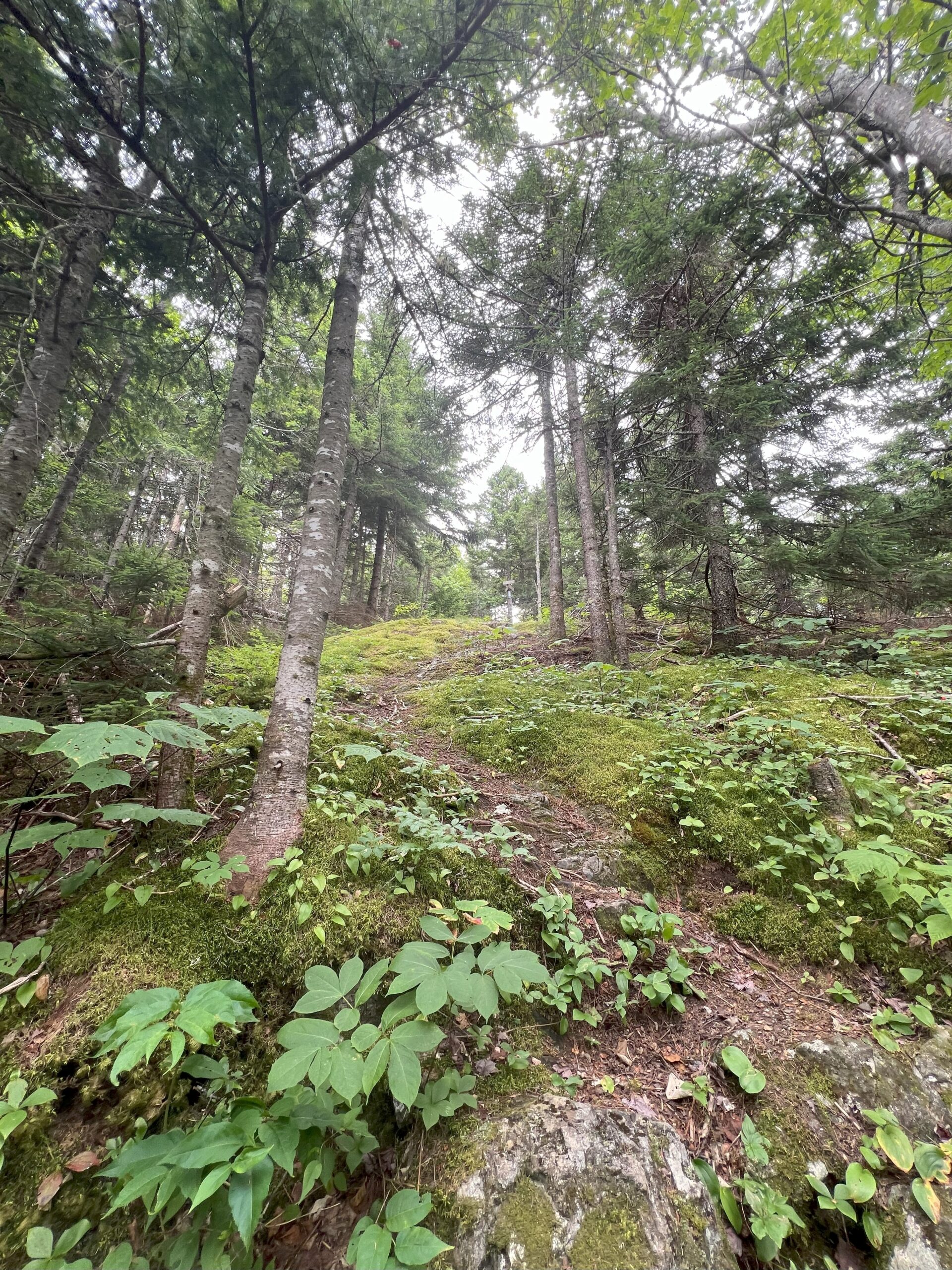
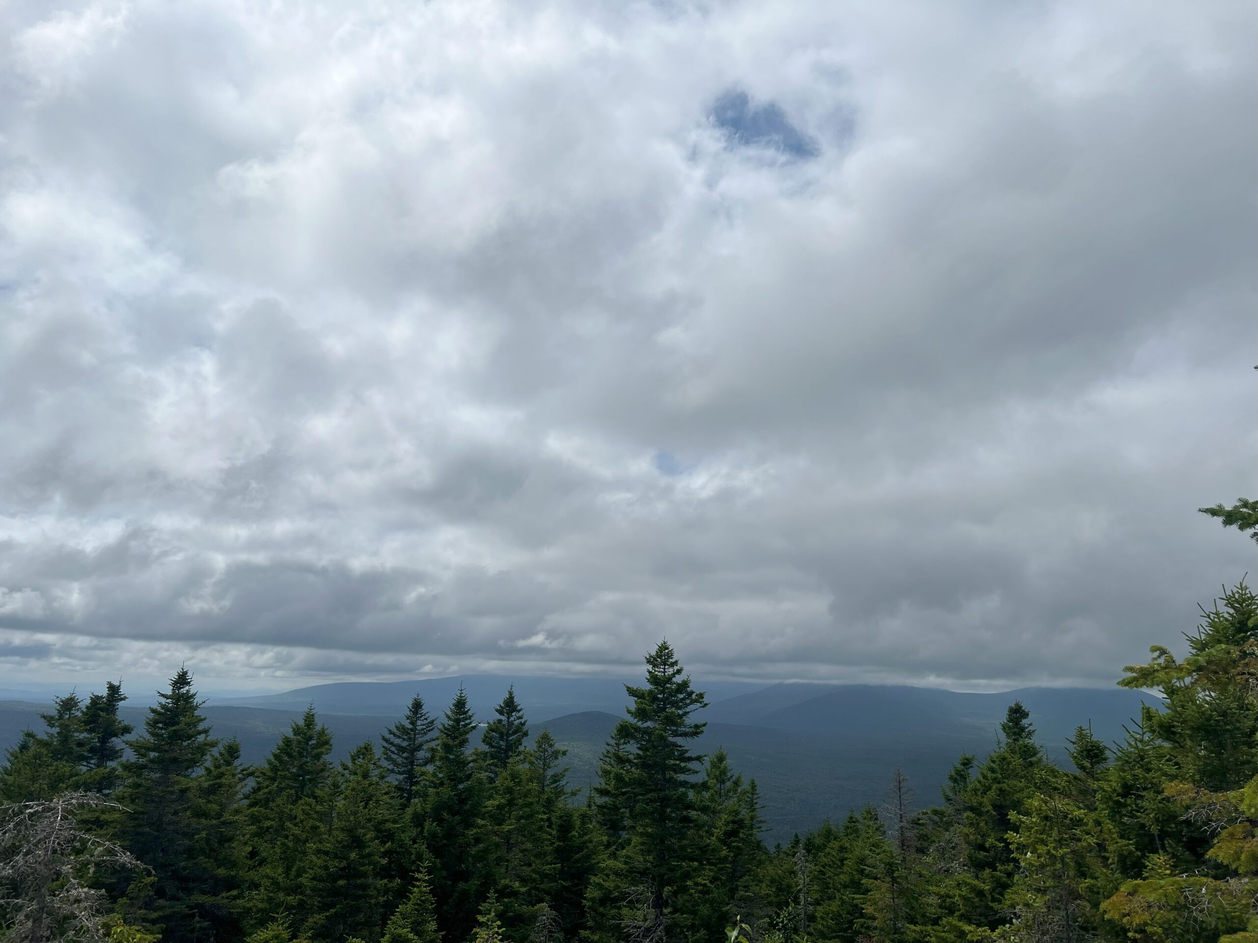
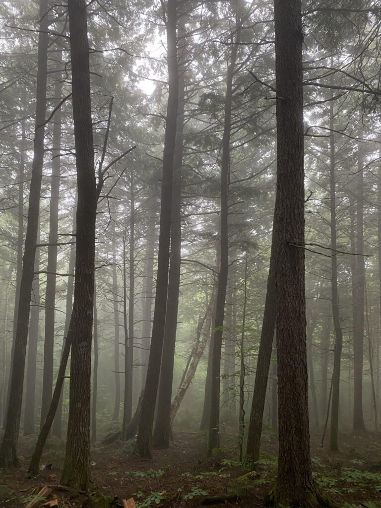
A trip report from the Deasey Mountain hike on August 27, 2022
Continue reading