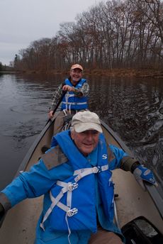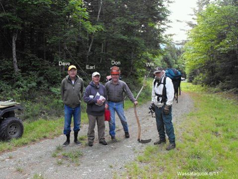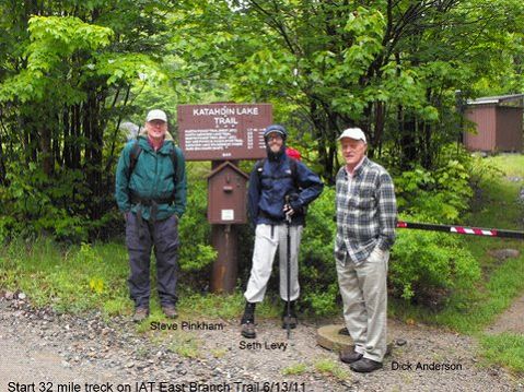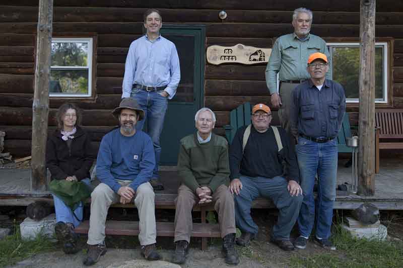
FRONT: Jude Eldridge, Bill Duffy, Earl Raymond, Walter Anderson, Dave Rand
BACK: Jas Smith, Herb Hartmann
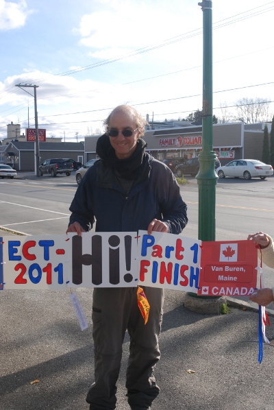
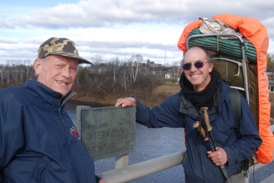
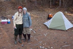
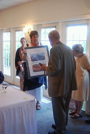
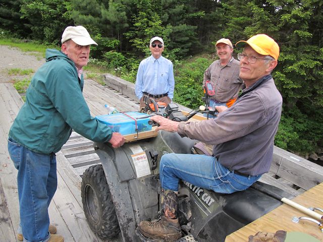
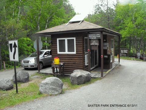
Bowlin Camps Based Work Trip: Bowlin Camps, on the East Branch of the Penobscot River, was the base for a three-day, Maine Chapter, IAT/SIA work trip June 3, 4, 5, 2011.
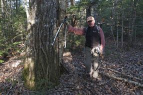
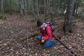
Bill Duffy, Jude Eldridge, and Bill’s dog, Trip, checked the trail while hiking to the summit of Deasey, completed and marked the Warden Camp cut-off trail and spent two nights in the cab.
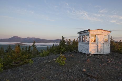
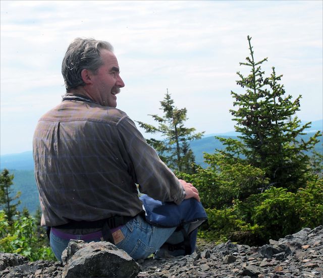
Deasey Summit
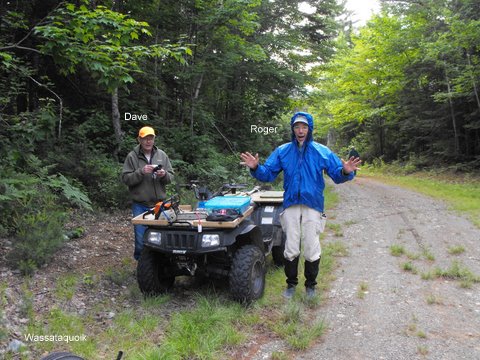
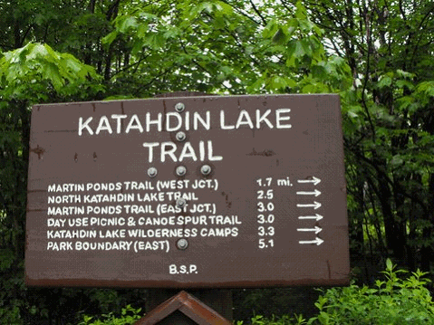
Dave Rand, Earl Raymond, and Jas Smith inspected and cleaned the Lunksoos campsite area, and trimmed brush on the trail. Dave’s scythe work was particularly impressive. Jas checked the trail to the summit of Lunksoos Mt.
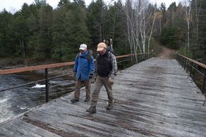
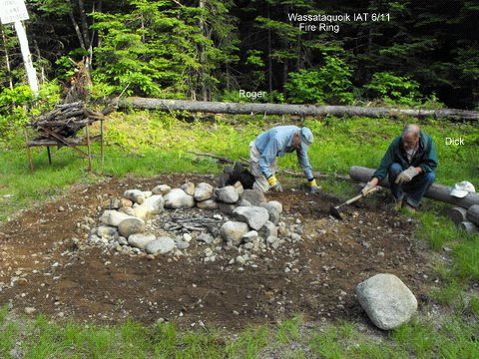
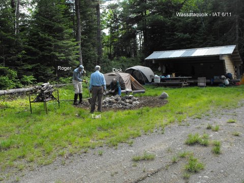
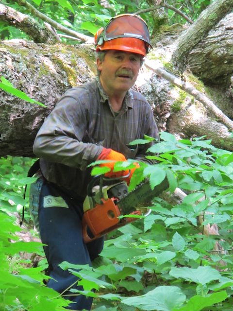
The ATV ford at Little Hathorn Brook was improved (the dilapidated bridge has been completely removed); Grand Pith campsite cleaned, the fire ring grubbed; and the trail inspected as far as the junction with the Little Messer Pond Road.
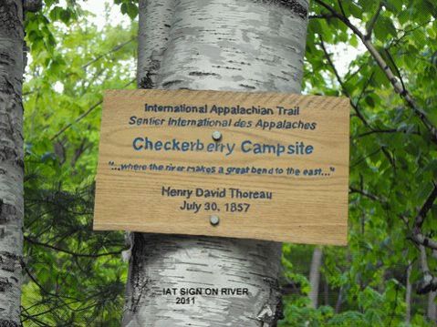
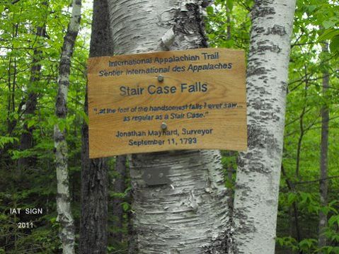
Walter Anderson and Earl installed Don Hudson’s routed signs at Thoreau’s Checkerberry Tea site and Stair Falls and inspected the trail by vehicle from the Matagamon Road south as far as they could drive.
Walter provided food and cooked superbly. A wonderful turkey dinner was provided by Bowlin Camps Sunday evening. The entire crew departed Monday morning satisfied they had accomplished more than they had set out to do.
The Artist and the Mapmaker
by Jude Eldridge, IAT Poet Laureate
The sun was shining on the ridge,
Shining with all his might:
He did his very best to make
The trees all green and bright –
And this was odd, because it was
The middle of the night.
The air was hot as hot could be,
The culverts pulled – some dry.
You could not see the trail because
The hobblebush was high.
No markers flying over head –
There were no tags to spy.
The Artist and the Mapmaker
Were hiking IAT
They wept like anything to see
Such quantities of tree.
‘If this were only cleared away,’
They said, ’How grand t’would be!’
‘If seven guys with seven scythes
Slashed for half a year,
Do you suppose,’ the Artist said,
‘That they could get it clear?’
‘I doubt it,’ said the Mapmaker,
And shed a bitter tear.
‘O Blackflies, come and walk with us!’
The Artist did beseech,
‘A pleasant walk – a pleasant talk,
Among the ash and beech:
We cannot do with more than four
To give a hand to each.’
Four thousand Blackflies hurried up,
All eager for the treat:
Their coats were brushed, their faces washed,
Their teeth were clean and neat –
And this was odd, because, you know,
They hadn’t any teeth!
Four thousand Blackflies followed them,
And yet another four,
And thick and fast they came at last,
And more, and more, and more –
All flying through the mottled woods,
And scrambling to the fore.
The Artist and the Mapmaker
Walked on a mile or so,
And then they rested on a rock
Conveniently low:
And all the little Blackflies stopped
And waited in a row.
‘The time has come,’ the Artist said,
‘To talk of many things;
Of Earl – and Herb – Dave’s ATV –
Of cabbages – and kings –
And why the snoring never stops –
And what is it Walter sings?’
‘But wait a bit,’ the Blackflies cried,
‘Before we have our chat;
For some of us are out of breath,
And all of us are fat!’
‘No hurry!’ said the Mapmaker,
They thanked him much for that.
‘I weep for you,’ the Artist said:
‘I deeply sympathize.’
With sobs and tears she aimed her hand
At those of largest size,
Holding fly-doped handkerchief
Before her streaming eyes.
‘O Blackflies,’ said the Mapmaker,
‘You’ve had a pleasant run!
Shall we be trotting home again?’
But answer came there none –
And this was scarcely odd, because
They’d swatted every one.