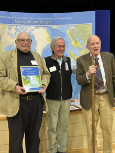
Amy’s note: Waterlilly completed her New Brunwick section of the IAT this summer. You may remember her story of the Maine section from last year (There and Back Again). She was kind enough to do another writeup for us, with more of her fabulous journal pages! Without further ado, I present her story, in her words.
Just Something Ya Gotta Love About The SIA-IAT
Despite the long road walks: it’s Canada.
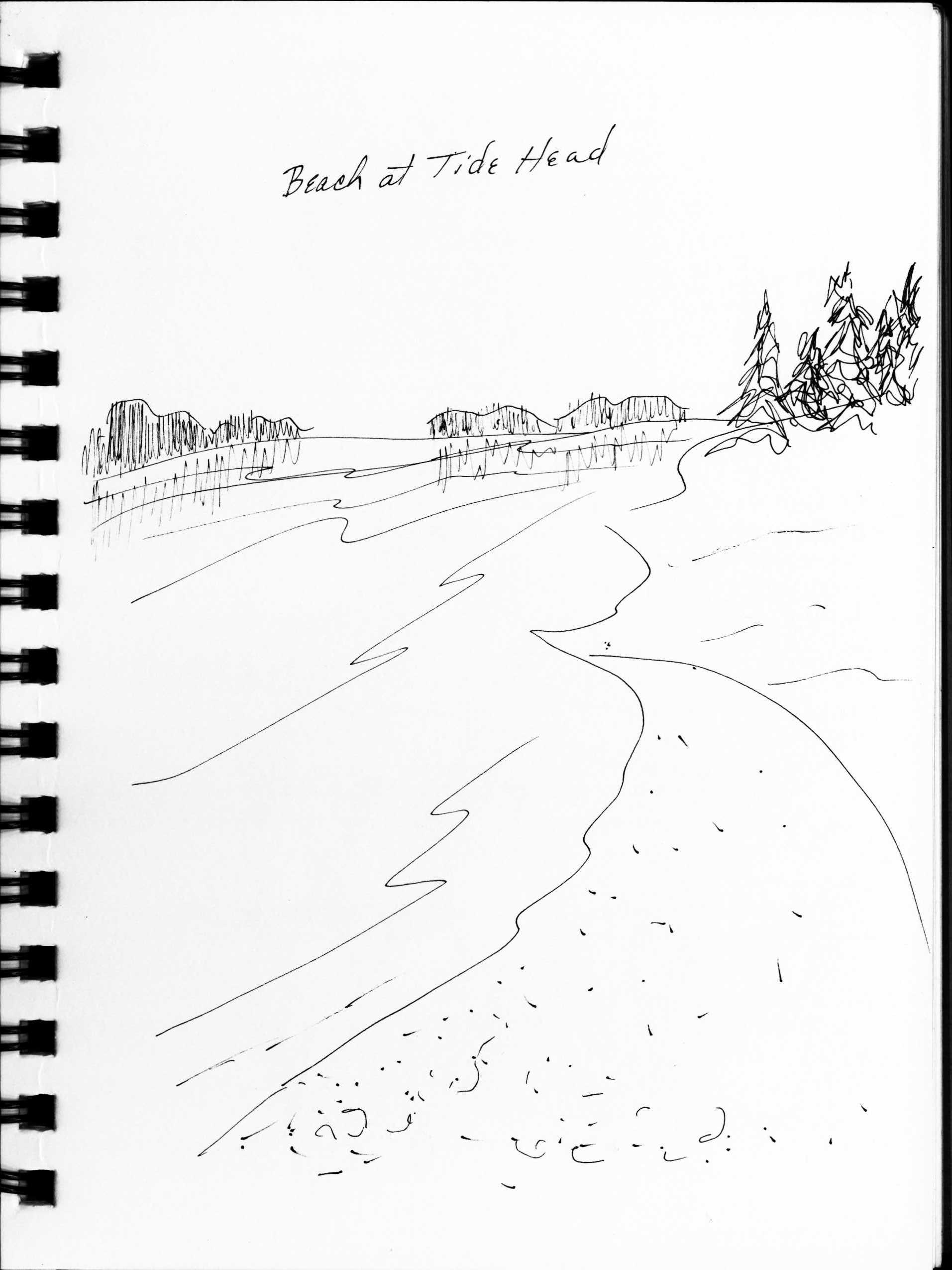
New Brunswick section hike into Quebec
Summer 2023
By Waterlilly
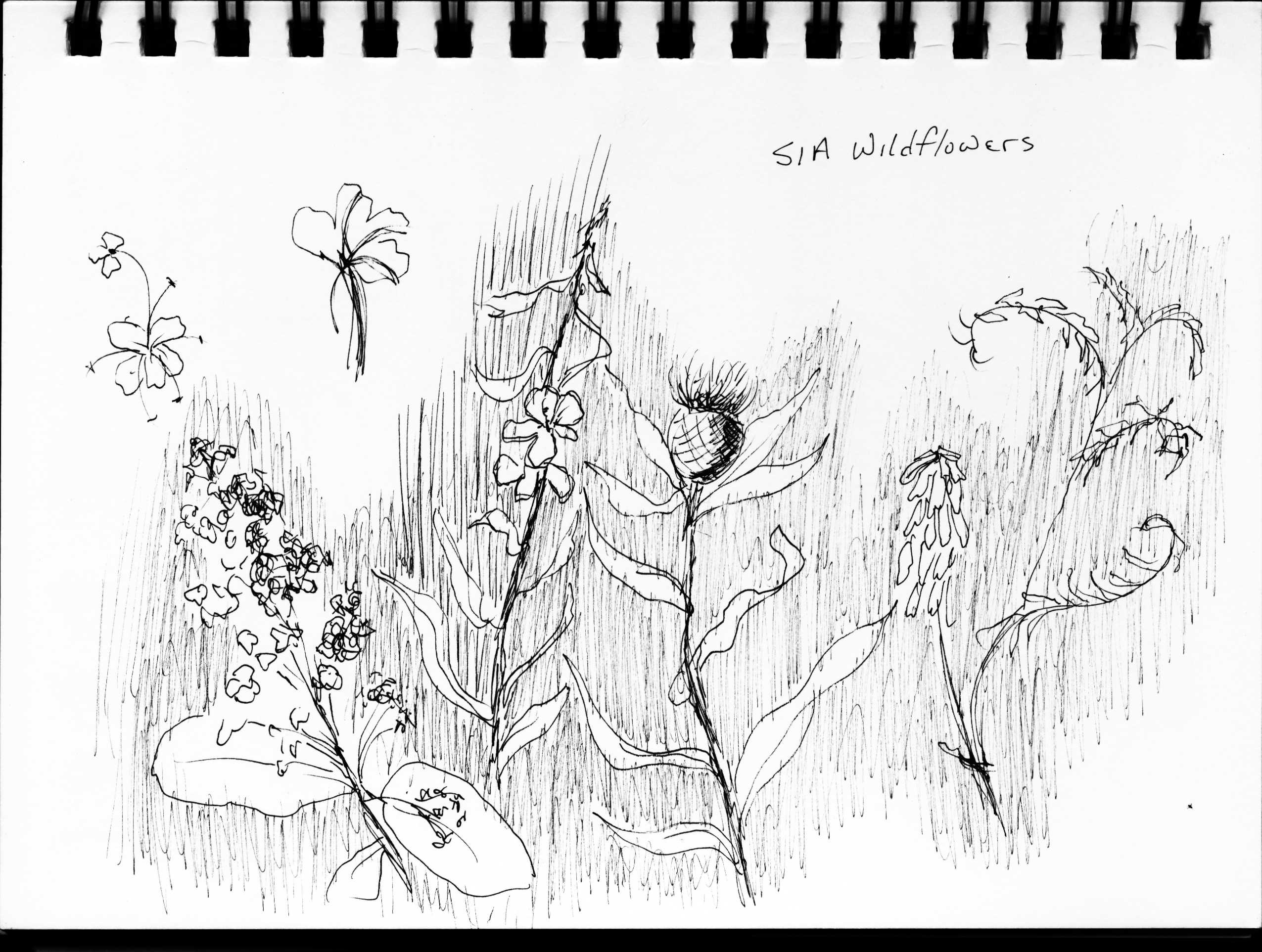
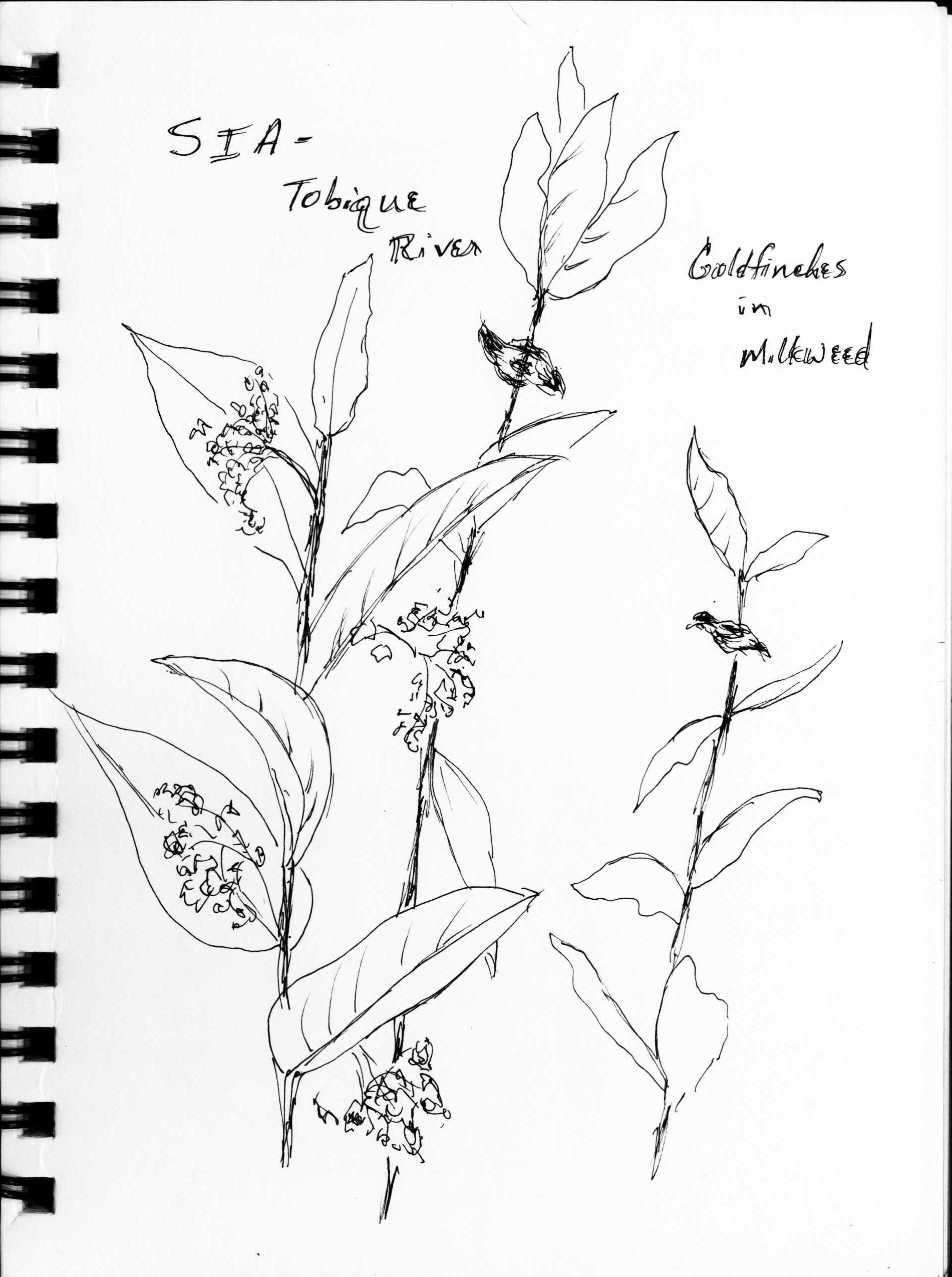
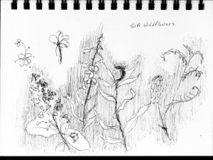
Mounds and mounds of lush wildflowers. Orange day lilies, sunny yellow daisies, purple bell flowers, coyingly sweet-scented milkweeds. Flower season may be shorter here, but just seems profoundly lusher.
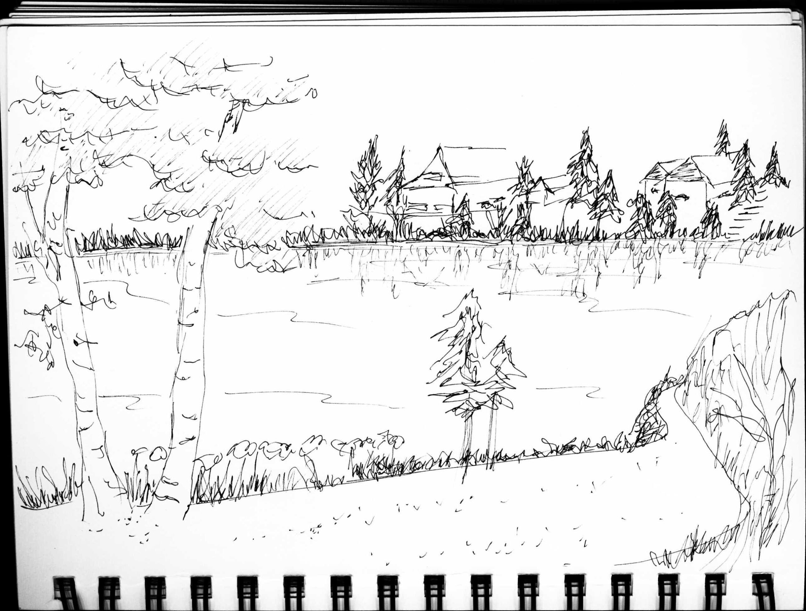
Views of the Tobique River, sitting on the banks in Perth Andover with a cold soda, watching kayakers and cormorants playing in the water. Upscale rustic cottages further along, curious welcoming trail neighbors. Landmarks like Squaw Cap mountain. And later, the beach on the Restigouche and overlooks back from the Quebec side.
Lots of nice swimming holes in the side creeks. Quite cold. Feels sooooo good on your feet after hiking all day.
Canada geese just seem more feisty here. Not just summer visitors, this is THEIR territory. Cars stop way back so the dawdling geese can waddle across the roads in slow motion, like they’re very respected.
Even time itself is different here [time zone change]. And time zones don’t run north and south here. Crossing the northern border of NB and into Quebec, you’re back in Eastern time. Many of the maritime islands seem to have circular time zones, literally existing in a romantic- sounding, separate time of their own.
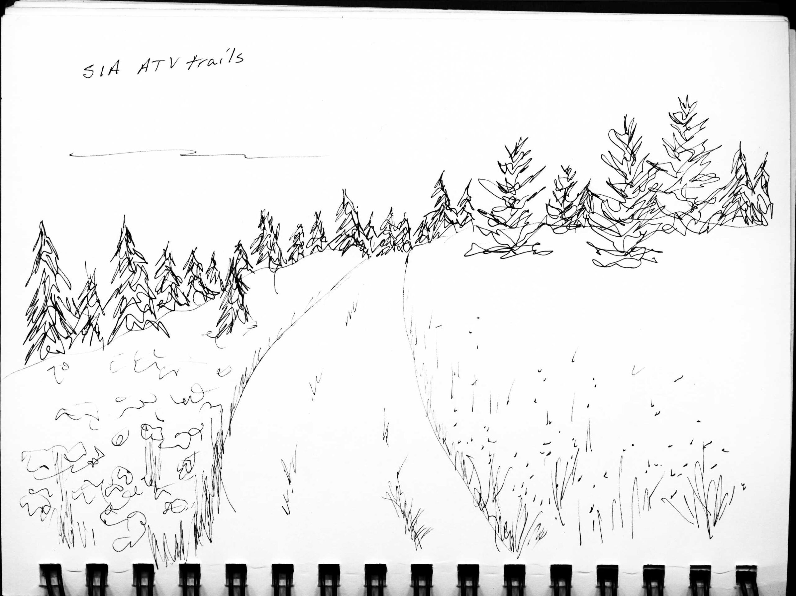
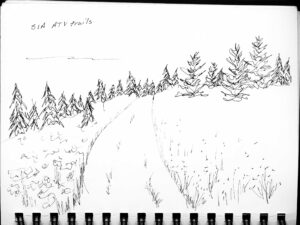
Days of ATV trails and roadwalks?
It’s all about getting in the mindset. My expectations weren’t that high. I was wrong.
In Virginia, ATV trails? No way – they aim for you, all about ripping up the trails, general rudeness, mostly young guys.Should have known, from the Maine section last year: ATV trails here, something else entirely. Once I settled into what it is here [Canada], I discovered there’s even trail community and trail magic on the New Brunswick section. It comes from the ATV’ers.Considerate, polite, always waved, moved over, slowed down so they wouldn’t splash or spray me with stones, often stopped to ask if I was ok, needed water, a ride, anything else. Mostly a family thing, grandparents taking the grandkids fishing, young families, older couples. Even middle school boys always called “Merci, merci” every time I stepped off when they passed on their bicycles.
Unending forest. For as many trees as there are here, a surprising lack of shade [ATV trails and roads are wider than the shade.] But the main issue with ATV trails – seldom any place to sit to rest, very few campsites. A couple flooded ATV sections, but it had been raining. But flat and not rocky, so can make really good trail mileage.
Walking the roadwalks, I kept thinking, I’m entirely surrounded by huge tracts of forest, why couldn’t they have worked something out to get the trail into the woods, or following one of those dirt secondary roads shown on my atlas. Soon realized: it’s all logging land, logging roads. And you REALLY don’t want to be hiking in that.
At least the road walks were rural and not too busy with traffic. After the road walk though, reaching Saint Quentin, never thought I’d be so glad to be back on ATV trails.
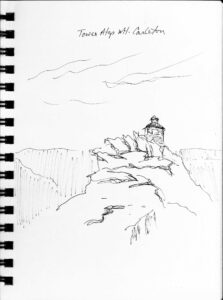
Side trip to Mt. Carleton: definitely worth it.
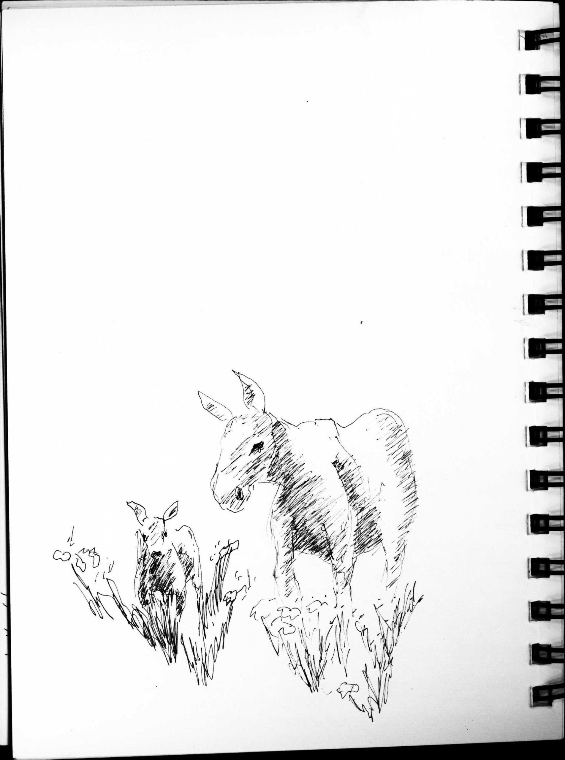
Riverwalk views were nice, but most of the way, you’re down within the trees and don’t get a view. Up on Carleton, an incredible view of the entire region. Clouds cleared just as I got to the summit. Plus I saw a very curious Mommy and Baby moose real close up.
You won’t need to know French, New Brunswick’s bilingual. Yeah. But . . .
NB is bilingual, but the further north you get, the more French it is, sometimes a person had to go get someone else to answer detailed questions. You can easily get by with no French, but really wish I’d learned a few basics, out of respect. It would have been nice to have the basic tourist phrases, and some hiking specific phrases, whatever questions and phrases you normally use when hiking – is there a campsite up ahead, where’s the next road crossing, can I pet your dog, what’s his name, whatever it is you usually ask or talk to people about out on the trail, or in the towns.
A long distance trail section without a trail club:
New Brunswick section’s trail club is out of commission currently, so many of the usual tools you’d use for planning a long hike just aren’t available.
Complete lack of maps: I was really nervous about heading out to hike a long distance trail across the border without hiking level trail maps, but they just weren’t available. How many of us are gonna let that stop us though?
I just figured I’d figure it out when I got there, hoping once I got on trail, if nothing else I’d just follow the blazes. [Not quite how it worked out, but figuring out what to do when things don’t work out as planned is all part of backpacking. Makes for better stories that way too.]
With no maps, I transferred the route from an online map that I could not print, onto a road atlas with a pink highlighter, and carried the relevant pages with me. That’s all I had, but it was enough, primarily because it was ATV trails and roadwalks.
Trail signage and blazes: there was some, but often not where most needed, like ATV trail junctions, road crossings, decision points.
Everyone knows of the SIA [and seem to think positively of it], but many do not realize it runs on that ATV trail out their back door. So not everyone could give helpful route advice. Stronger signage especially in towns and road crossings, in addition to public access trailheads with SIA info kiosks would help greatly.
Along with prominent signage all along the route, making a big deal of it, local trail days and celebrations might go a long way for neighbor awareness [but not sure how any of that gets done without an active trail club.]
So backpacking the NB section was totally do-able without technology, apps, FarOut, etc. [Because of being ATV trails and road walks.]
Don’t think many of those technologies would work in this area anyway: seems to be no cell phone signals. Didn’t see a single person walking around with, or talking on, or typing on, a phone or any electronic device, on trail or even in towns. Refreshing. People actually looked at you and talked with you rather than being distracted by their devices.
Thank you to the Maine section, who are the contact for NB while the NB club is out of service: their encouragement and advice was much appreciated.
Border Patrol don’t quite know how to comprehend section hikers.
Couldn’t understand what I was going to do with the car, apparently for good reason. My plan: leave the car at a trailhead, and hike out from there.
There were almost NO trailheads. Thought there’d be parking every time an ATV trail crossed a road, but at crossings, there was seldom space for even one car to park. [Where do the ATV’ers park to unload their ATV from their trucks? Can they really all be driving from their houses? Maybe it’s more a means of daily transportation than a recreation activity?]
I did find a trailhead just south of the bridge at Arthurette [parking for 4 or 5 cars], camping and parking behind the Tourist Information Center in Kegewick who happily give permission, probably could have left a car at the Upsalquitch road crossing, and a nice trailhead, hiker lot at Tidehead [obvious from the trail, but not at all from the road, completely unmarked about a mile south of the trail/road crossing in Tidehead].
Only used 2 of these for my section hike, but in hindsight, there were probably many places it would have been fine to leave the car parked, especially if I could find anyone around to ask permission. Not like Virginia. Many similar places in Virginia, I’d get towed if I parked a car for a few nights or weeks. But here, they seem just fine with it. [Kedgewick, they said just leave it in front of the library, the shopping center, anywhere. Seems to be the feeling in most trail towns.]
Camping was the same: felt like I was doing a lot of stealth camping, is it a legal spot, will I get run out in the middle of the night? Especially in farmland and town areas. But only got folks stopping to see if I was ok, needed anything. Their attitude about camping, outside of national forests and parks, and in communities seems welcoming.
I did find some great campsites, but never knew how far ahead or not one might be, without having a real hiking map. I won’t detail their locations here though, cause I’m not at all sure whether they were legal or ok. Although I think the locals would have been ok with it either way.
Be careful camping anywhere near logging roads. Even though I was back in the woods in an official campsite one night, it was nevertheless near an active logging road. Much worse than camping near a highway: those logging trucks start running non-stop around 3am, loud and heavy.

All in all: can’t wait to get further into Quebec on my next section.