International Appalachian Trail at a Glance:
Length: 650 kilometers (404 miles) Location: Canada, Province of Québec, Gaspé Peninsula Trail Type: Thru-hike with many options for day hikes and section hikes, divided in three territories
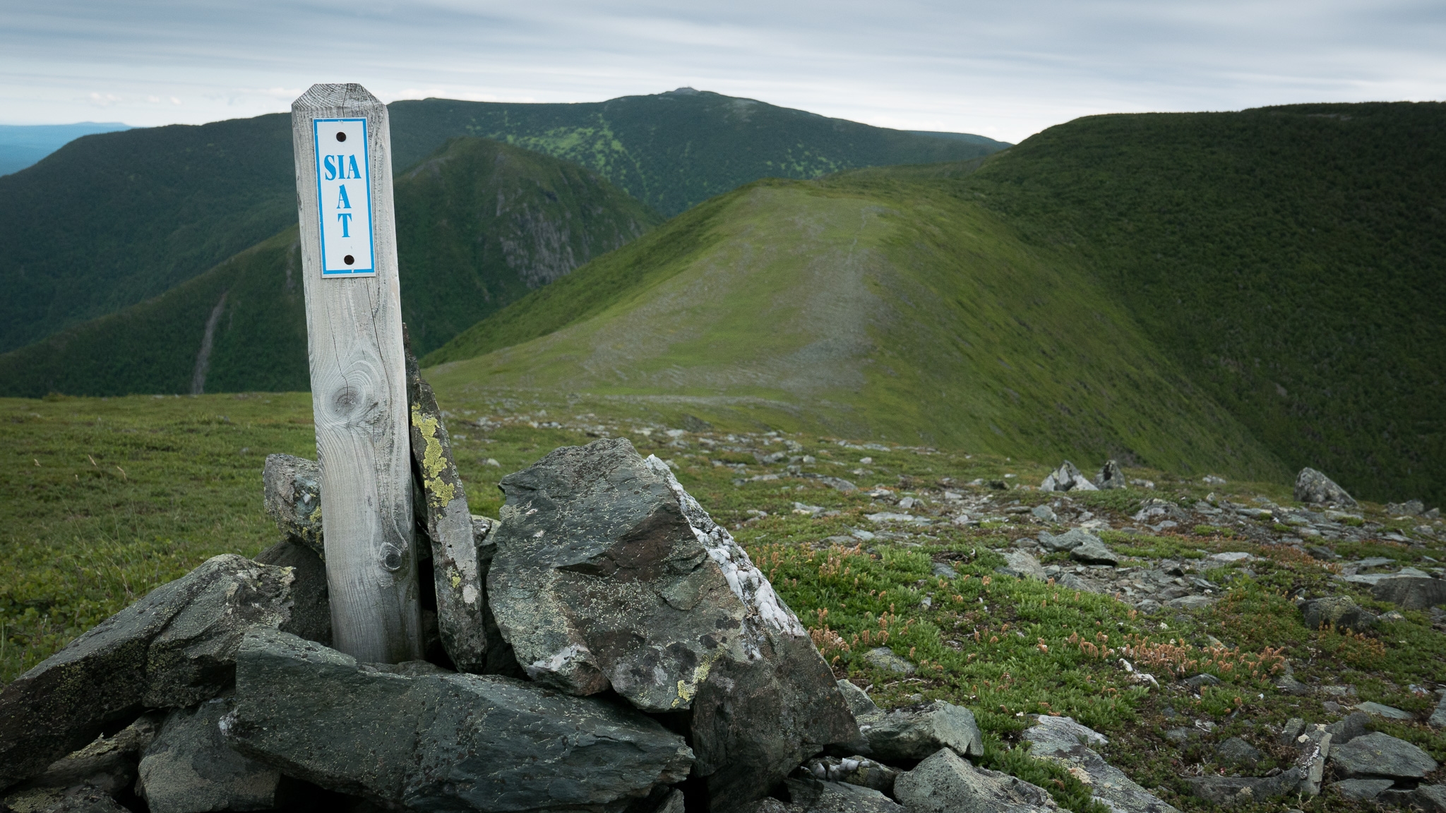
The Valley (115 miles) The trail goes through some forests and farmland, the first few days sees some steep climbs and a couple of river fords, but it smooths out afterwards.The Chic-Chocs (156 miles) The trail follows the peaks of the Chic-Chocs and McGerrigle mountain ranges. Very remote and rugged section, especially in Matane Wildlife Reserve. Some of the best views are in Gaspésie National Park with summits above treeline.The Coast (134 miles) The trail goes from village to village along the St-Lawrence river. This section is generally easier, but it still climbs from time to time in the mountains near the coast.
Navigation: Official guidebooks and maps can be found on the IAT website