Bill Duffy, Sophie Leigh (our history intern this summer), Don Hudson, Julia Daly, and Jas Smith all met up at the Lunksoos Lodge in the late afternoon/evening. There wasn’t a shared meal that night, so dinners ranged from meals people brought to snack bars and peanuts. The mantles were causing problems, but solar lights turned on at 9:30 pm and didn’t shut off until 2 am, which was a problem for people sleeping. We ended up using headlamps and unplugging the solar lights as the trip went on. Sophie set up shop in the lodge on a mattress in the back room, Don slept on the porch, Julia and Bill both slept in their cars, and Jas slept in the Deasey cabin all by himself.
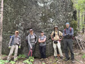
Don, Julia, Sophie, Bill, and Jas in front of Earl’s Erratic on the first workday
Friday, June 6, 2025
The day started off bright and early with granola and yogurt for breakfast, the preparation of lunches, and an hour-long drive down to the trailhead where the IAT fords the Wassataquoik Stream. Smoke from the recent wildfires in Manitoba was visible in the sky, obscuring any views of Katahdin, though it wasn’t too noticeable at ground level. There was a bit of sun throughout the day.
We met up with Amy and Dylan from the National Park Service, signed the appropriate paperwork, grabbed gear, and hit the trail. Dylan, an NPS archaeologist, was tasked with collecting data on the area surrounding the trail in hopes of identifying potential archeological sites, as well as documenting severe blow downs and new tags that were added to the trail. Amy was responsible for making sure we didn’t do anything we weren’t supposed to do. We successfully forded the stream and headed north up the trail toward Deasey Mountain.
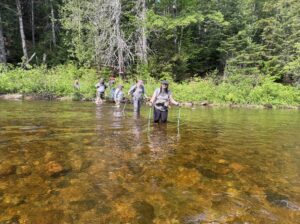
Don, Dylan, Jas, Amy, Julia, and Sophie fording the Wassataquoik, which was thigh deep for some of us
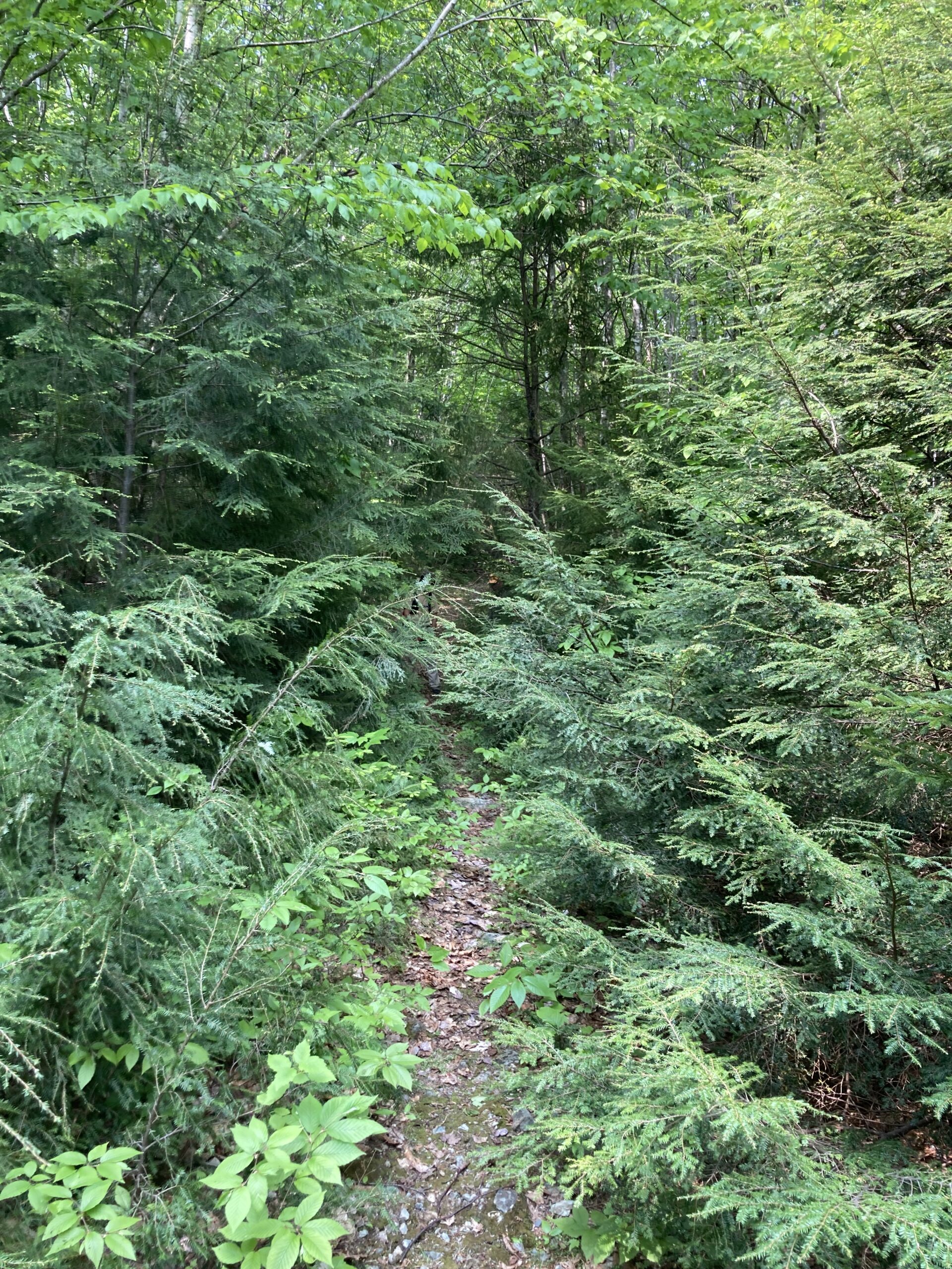
The trail was in relatively good condition, with few major blow downs that we couldn’t clear with loppers, hand saws, and determination. Several new blazes were put up, and a handful of existing blazes were re-affixed or replaced. In some particularly dense areas, or areas where the trail had been recently re-routed, tags were added to clarify the route. The black flies were relentless, but we pushed on and made it all the way up to the Nose of Deasey for lunch. Sophie, Bill, Julia, and Jas hiked onward the little ways up to the Fire Warden’s Cabin, which remains in poor condition. Around 2 o’clock, everyone began the hike back down the trail toward the Wassataquoik.
After an 11-mile day on the IAT, we headed back to Lunksoos Lodge where we met up with Nancy Hathaway, who had just returned from California after a grueling 20-hour travel day (thank you for your dedication, Nancy!). Sophie went for a swim, and we all enjoyed spaghetti with a choice of pesto or marinara sauce with beef and Italian sausage (or both) to close out a hard but fulfilling day. Nancy camped out on the couch in the lodge.
Saturday, June 7, 2025
The day began again with granola and yogurt, the preparation of lunches, and the hour-long drive down to the trailhead. Nancy decided not to join us on our trail work excursion and instead hung back at the lodge and assigned herself dinner duty. Amy and Dylan also did not join us for this second day, as was planned. Though there was some rain expected in the forecast, everyone stayed mostly dry.
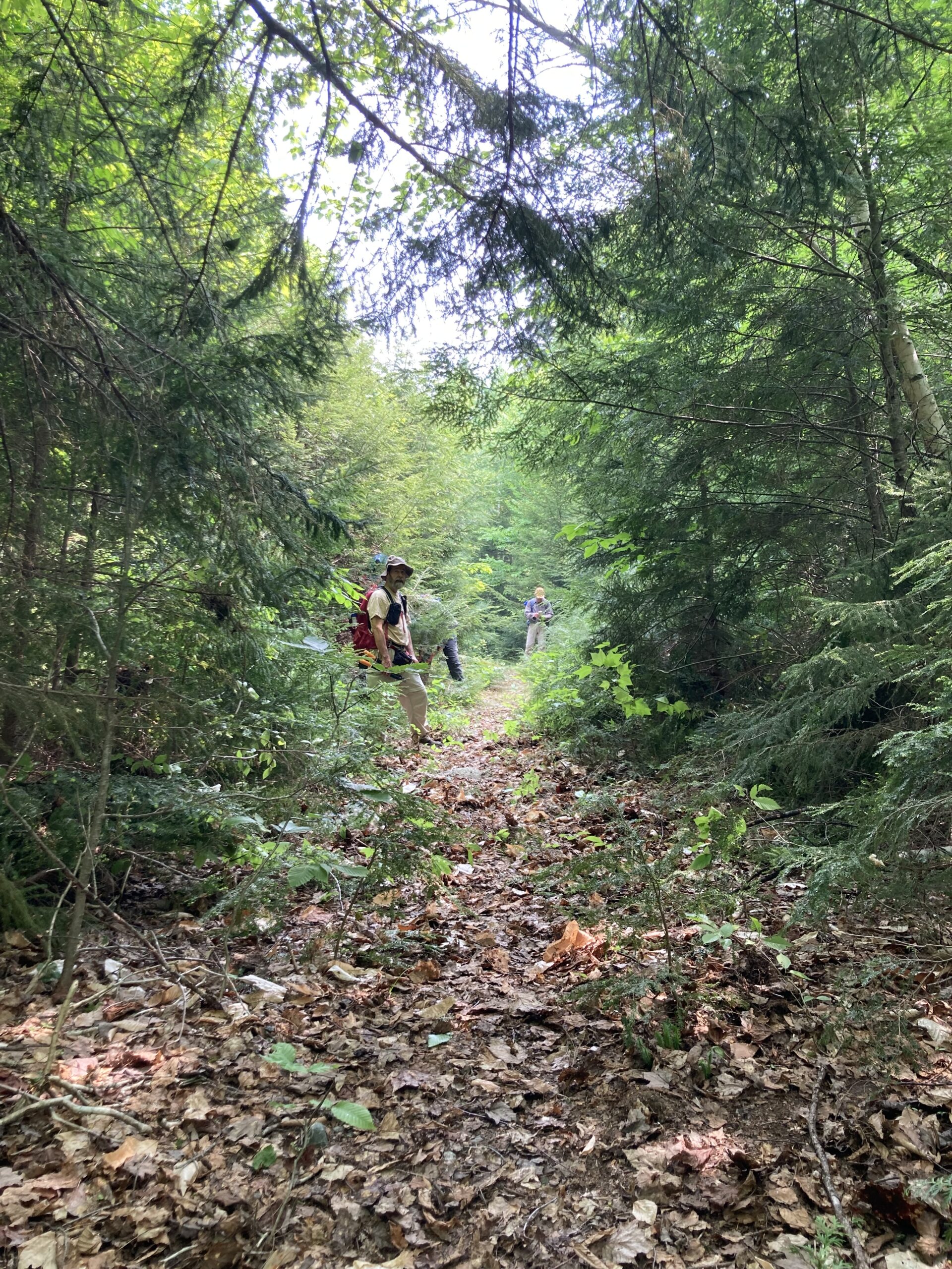
Before Trail Work Lunksoos (on the way to Deasy from Wassataquiok)
After Trail Work
We forded the stream and hiked directly to the Fire Warden’s Cabin, as little work needed to be done between the stream and the cabin thanks to the efforts of the day before. Any remaining work was planned for the return trip, as the goal was to potentially reach the summit of Lunksoos. After hiking the steep section up to the summit of Deasey, we had lunch while being attacked by black flies which were somehow worse than the day before. The Lookout Tower was in excellent condition, and Bill gave a quick lesson on how the wardens would have used their maps to triangulate where fires were. We decided not to continue further and instead headed back down towards the Wassataquoik, doing the little work that was needed as we made our way back.
Jas, Sophie, Bill, and Julia learning about how the map would have been used to locate fires (thank you, Bill, for the lesson!)]
Jas Smith, Sophie, Bill Duffy, Julia Daly
Everyone returned to the lodge by around 5:30 to find a beautifully set table with snacks and sides for the fajitas, which Nancy quickly got to heating up. It was delicious and well-deserved after a 13-mile day on the IAT.
The dinner table we returned to after a long day. Again, thank you, Nancy!]
Sunday, June 8, 2025
Breakfast was a bit fancier on the last day, with egg and sausage sandwiches for those that wanted them. Everyone helped with cleaning up the lodge and packing up cars, then headed out on their own time. Thank you to everyone who came for making this trip so successful. Also, shout out to Sophie for lowering the average age by 10 years!
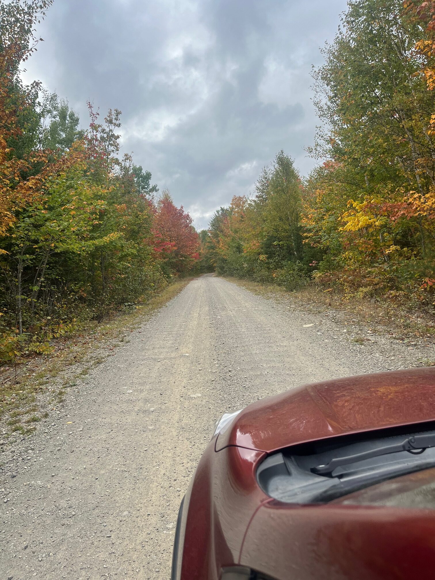
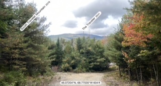
It was a perfect autumn day. Partly Sunny with temps in the 60’s. A wonderful day for a leisurely hike along the East Branch of the Penobscot River in The Katahdin Woods and Waters National Monumnent. The foliage was beginning to change to red, yellow, and orange. Passed two fly fishermen on the bridge by the Matagamon Wilderness Campground just before taking the turn to enter The Monument. The gravel road to the Haskell Gate, known as the Messer Pond Road or the New River Road, is in excellent shape and easily passable in any type of vehicle. Went by the Old River Road Loop and the Oxbow Road. I recalled Cross Country skiing there last winter. Excellent conditions, well-groomed by the rangers, splendid views of the mountains at the north end of Baxter Park and of the river. Profoundly wild. A great idea for a day hike on another trip. I continued to the dead-end parking area near the Haskell Gate for the start of our hike.
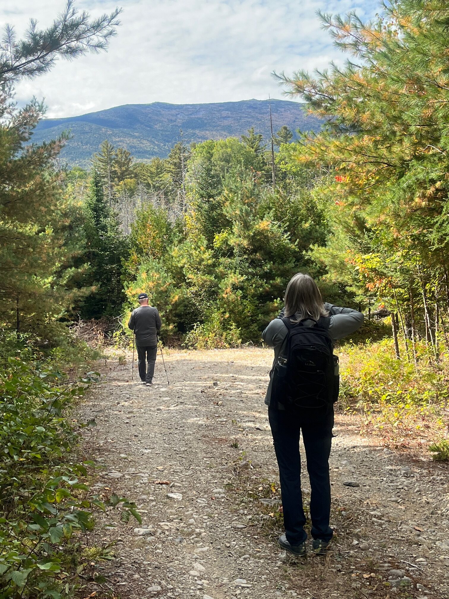
Start of Hike
Along the trail
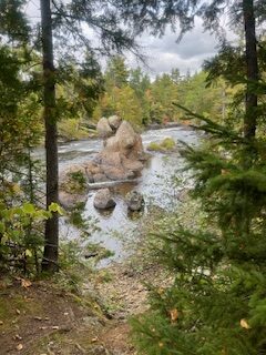
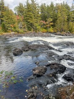
Haskell Rock Pitch
Haskell Rock
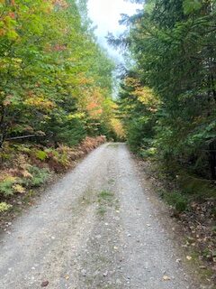
On the Road
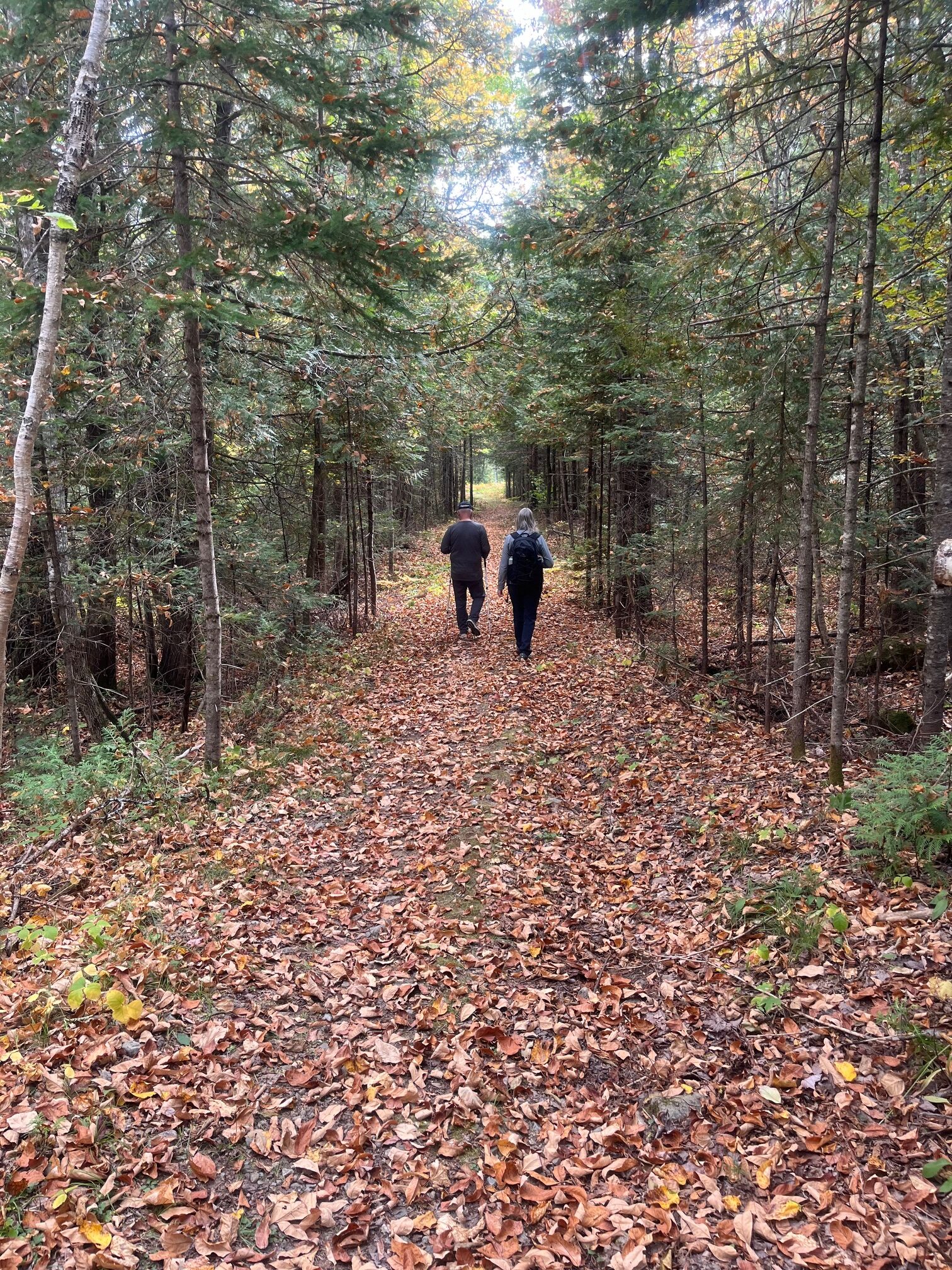
We ran into a ranger and spoke briefly as we headed out. This part of the International Appalachian Trail is a wide and flat tote road that has an excellent treadway and minimal elevation change. We walked through the woods enjoying conversation on topics of interest, exchanging notes on various places we like to hike and organizations that protect and maintain wild places like this. We observed the many varieties of trees and plants as we walked, and we made our first stop to see the Haskell Hut. The hut is only open for winter camping, but it’s located in a beautiful, quiet spot on a bluff above the East Branch. We saw a bald eagle glide lazily across the river there. And a large skull, presumably a moose, was propped up on a log for our review.
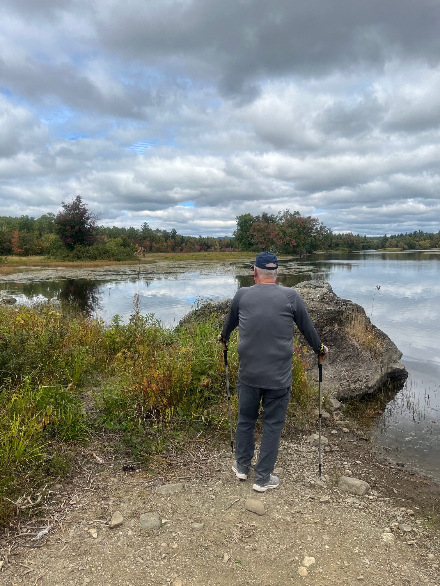
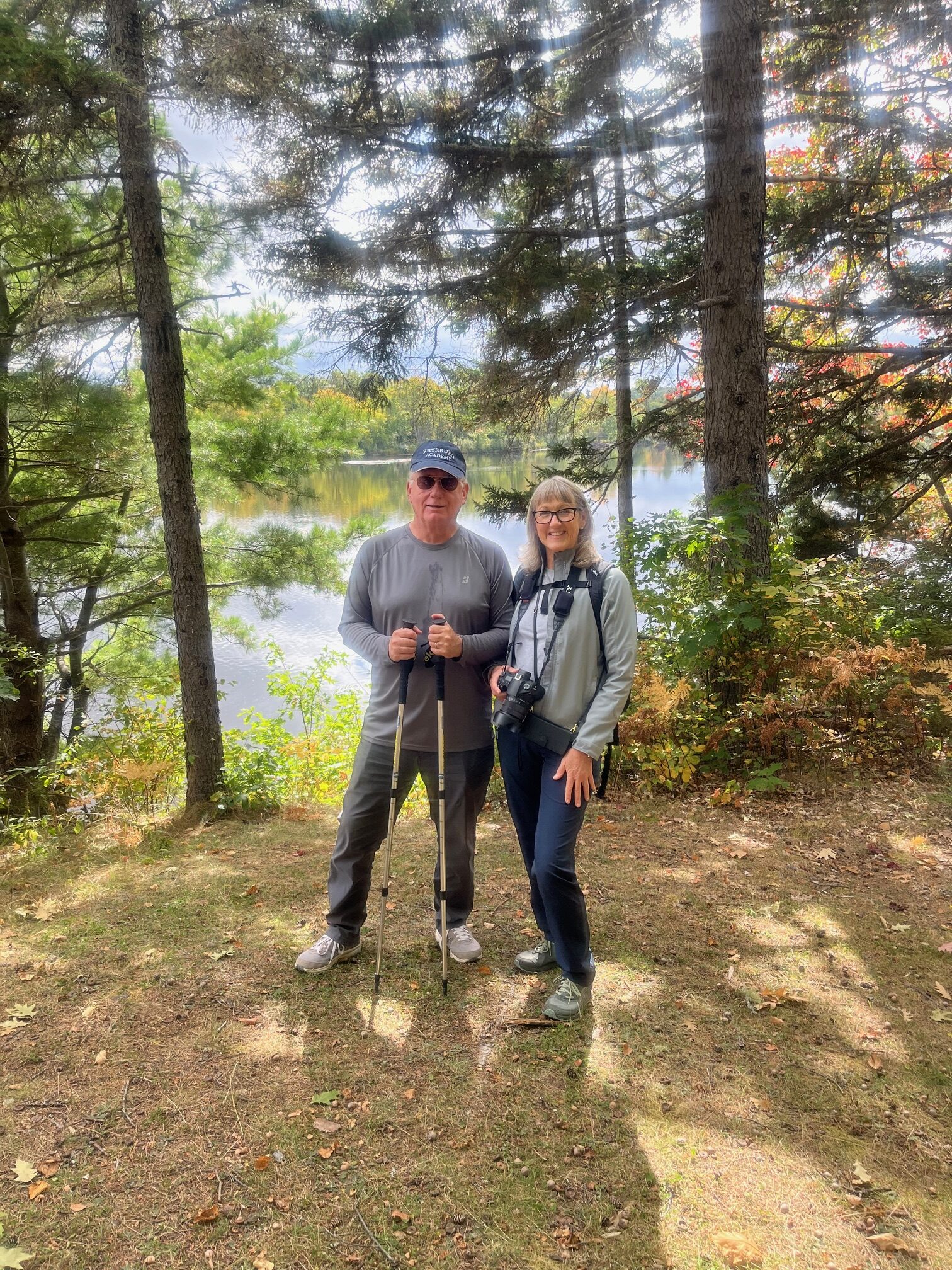
From there we continued to Haskell Deadwater and inspected the campsite and portage trail. Another beautiful, quiet location next to a slow, wide spot on the river, with a view of Bald Mountain in the distance. A little farther along we reached Haskell Rock Pitch and stopped to admire the rips and to take a look at Haskell Rock. We kept meandering along the trail marveling at the quiet beauty and solitude of this place, enjoying the company and the conversation as we walked. We stopped for lunch at the Pond Pitch West campsite, right on the river next to the pitch. Another clean, beautiful campsite. We wanted to keep going, as it was a pleasant, leisurely walk, but based on our mileage, we were looking at a total trip of 7-8 miles and decided to head back after lunch.
Pond Pitch
Pond Pitch
On the Trail
On the Trail
Haskell Rock Pitch
On the way back we ran into two backpackers heading in and spoke to them for a few minutes. One of them had camped previously at the Wassataquoik Lean To and the Esker Tent site on the IAT in the southern part of The Monument. He was very enthusiastic about camping along this section of the IAT. He related that the campsites are very well set up and scenic and very wild. As we finished up, we were treated to a view of The Traveler, the tallest mountain in the north end of Baxter State Park. When we got back to our cars we had gone about 7.75 miles in about five hours, including breaks. It passed by very quickly. We were living in the moment, taking it all in. An absolutely beautiful walk in an easily accessible and remote wilderness.

![Jas, Sophie, Bill, and Julia learning about how the map would have been used to locate fires (thank you, Bill, for the lesson!)]](https://www.maineiat.org/wp-content/uploads/2025/06/Photo-6-scaled.jpg)
![Jas, Sophie, Bill, and Julia learning about how the map would have been used to locate fires (thank you, Bill, for the lesson!)]](https://www.maineiat.org/wp-content/uploads/2025/06/Photo-5-1-scaled.jpg)
![The dinner table we returned to after a long day. Again, thank you, Nancy!]](https://www.maineiat.org/wp-content/uploads/elementor/thumbs/Photo-7-scaled-r7jklrevjwmdd1txwidaf2q62jdkzk7jiytzng97f4.jpg "The dinner table we returned to after a long day. Again, thank you, Nancy!]")